Africa W
ADMIRALTY nautical sea charts for West Africa.
View on map
61-80
of
124
products
Select an option
Country not found
List is empty.
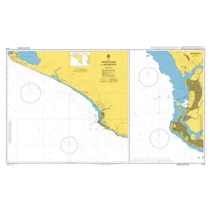
Nautical Chart 2478 Approaches to Monrovia
Price DKK 525.31
Out of stock
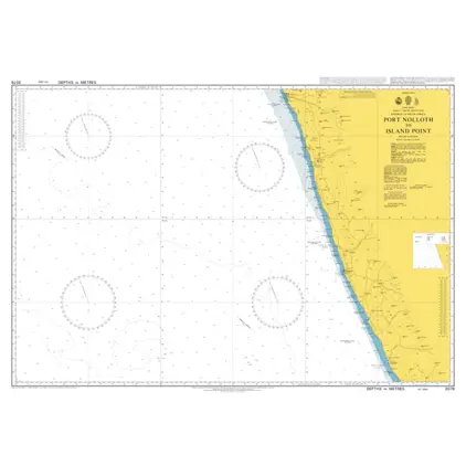
Nautical Chart 2078 Africa, Port Nolloth to Island Point
Price DKK 525.31
Out of stock
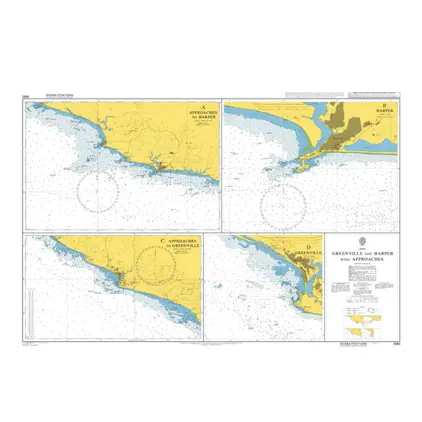
Nautical Chart 1980 Greenville and Harper
Price DKK 525.31
Out of stock
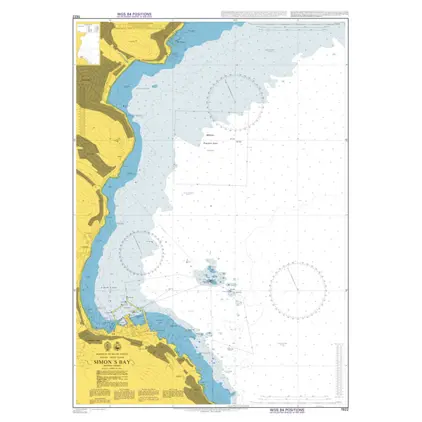
Nautical Chart 1922 Simon's Bay
Price DKK 525.31
Out of stock
Nautical Chart 1912 Ports N&W Coasts Moro
Price DKK 525.31
Out of stock
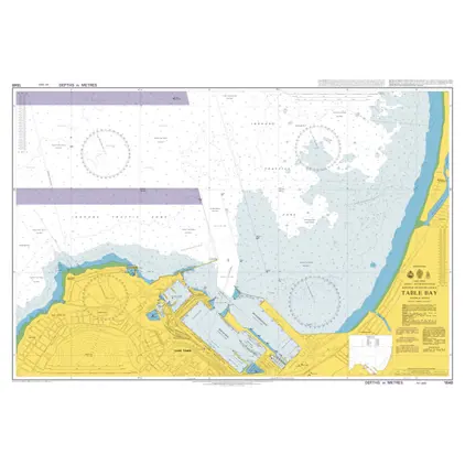
Nautical Chart 1846 Table Bay
Price DKK 525.31
Out of stock
Nautical Chart 1727 Guinea:Bolama and app
Price DKK 525.31
Out of stock
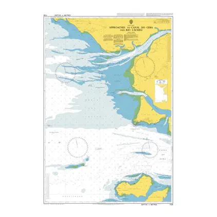
Nautical Chart 1726 App.to Canal do Geba
Price DKK 525.31
Out of stock
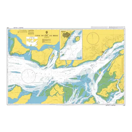
Nautical Chart 1724 Canal do Geba and Bis
Price DKK 525.31
Out of stock
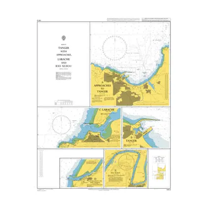
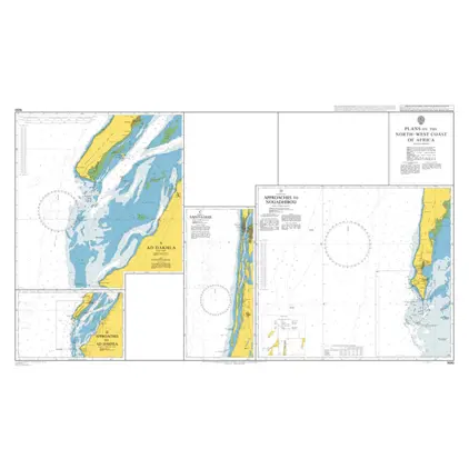
Nautical Chart 1690 Africa: Plans North - West Coast
Price DKK 525.31
Out of stock
Nautical Chart 1688 Approaches to Nouakchott
Price DKK 525.31
Out of stock
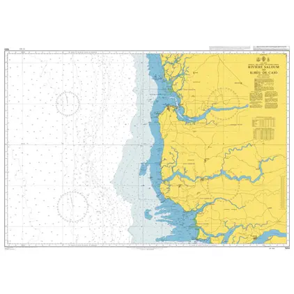
Nautical Chart 1664 Riviere Saloum / Ilheu de Caio
Price DKK 525.31
Out of stock
Nautical Chart 1663 Saint-Louis to Riviere Saloum
Price DKK 525.31
Out of stock
Nautical Chart 1662 Nouakchott/ Saint-Louis
Price DKK 525.31
Out of stock
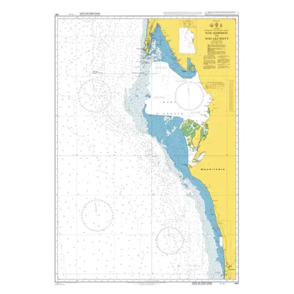
Nautical Chart 1661 Nouadhibou to Nouakchott
Price DKK 525.31
Out of stock
Nautical Chart 1595 Plans in Gulf of Guinea
Price DKK 525.31
Out of stock
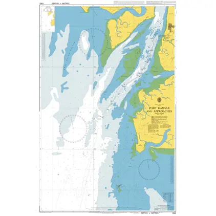
Nautical Chart 1562 Port Kamsar and app.
Price DKK 525.31
Out of stock
Nautical Chart 1560 Approaches to Rio Nun
Price DKK 525.31
Out of stock
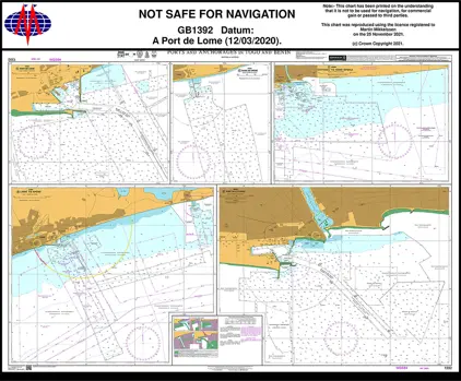
Nautical Chart 1392 Ports and Anchorages in Togo and Benin
Price DKK 525.31
Out of stock
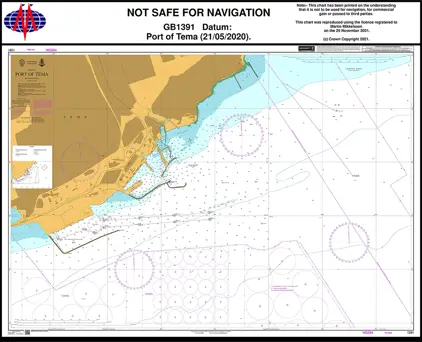
Nautical Chart 1391 Port of Tema.
Price DKK 525.31
Out of stock
Previous
1
2
3
4
5
6
7
Next
View on map
Close
Close