Africa W
ADMIRALTY nautical sea charts for West Africa.
View on map
81-100
of
124
products
Select an option
Country not found
List is empty.
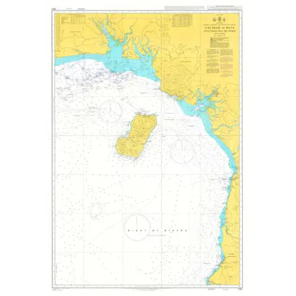
Nautical Chart 1387 Calabar to Bata
Price DKK 525.31
Out of stock
Nautical Chart 1386 Pennington R.- Opobo River
Price DKK 525.31
Out of stock
Nautical Chart 1385 Cotonou-Pennington Ri
Price DKK 525.31
Out of stock
Nautical Chart 1384 Tema to Cotonou
Price DKK 525.31
Out of stock
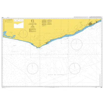
Nautical Chart 1383 Lagune Aby to Tema
Price DKK 525.31
Out of stock
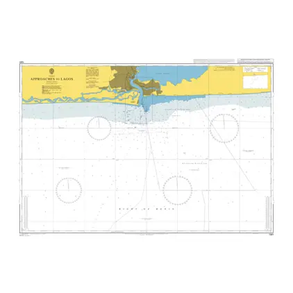
Nautical Chart 1381 Approaches to Lagos
Price DKK 525.31
Out of stock
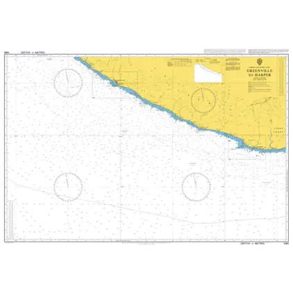
Nautical Chart 1365 Greenville to Harper
Price DKK 525.31
Out of stock
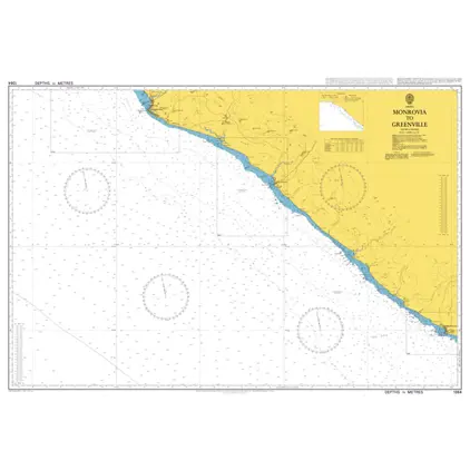
Nautical Chart 1364 Monrovia to Greenville
Price DKK 525.31
Out of stock
Nautical Chart 1363 Cape Saint Ann to Monrovia
Price DKK 525.31
Out of stock
Nautical Chart 1322 Central West Africa: Ports
Price DKK 525.31
Out of stock
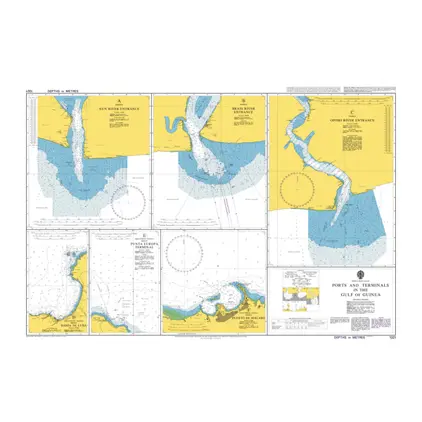
Nautical Chart 1321 Gulf of Guinea: ports
Price DKK 525.31
Out of stock
Nautical Chart 1236 Saldanha Bay
Price DKK 525.31
Out of stock
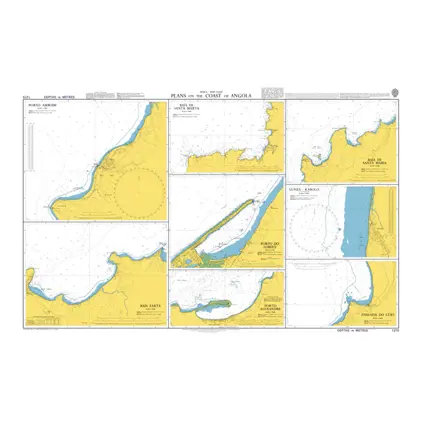
Nautical Chart 1215 Plans on the Coast of Angola
Price DKK 525.31
Out of stock
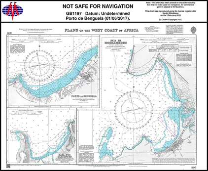
Nautical Chart 1197 Plans on the West Coast of Africa
Price DKK 525.31
Out of stock
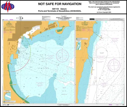
Nautical Chart 1133 P & T of Nouadhibou
Price DKK 525.31
Out of stock
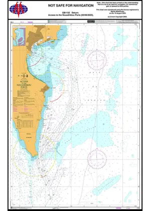
Nautical Chart 1132 Acce Nouadhibou Ports
Price DKK 525.31
Out of stock
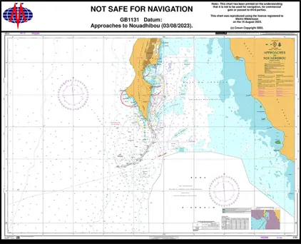
Nautical Chart 1131 App. to Nouadhibou
Price DKK 525.31
Out of stock
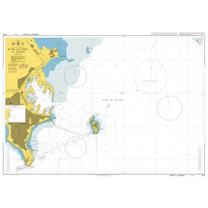
Nautical Chart 1001 Dakar Port And Roadstead
Price DKK 525.31
Out of stock
Nautical Chart 1000 Approaches to Dakar, Baie de Goree
Price DKK 525.31
Out of stock
Nautical Chart 861 App. to Casablanca
Price DKK 525.31
Out of stock
Previous
1
...
3
4
5
6
7
Next
View on map
Close
Close