Africa W
ADMIRALTY nautical sea charts for West Africa.
View on map
21-40
of
124
products
Select an option
Country not found
List is empty.
POD 4148 Appr.to Table Bay
Price DKK 525.31
Out of stock
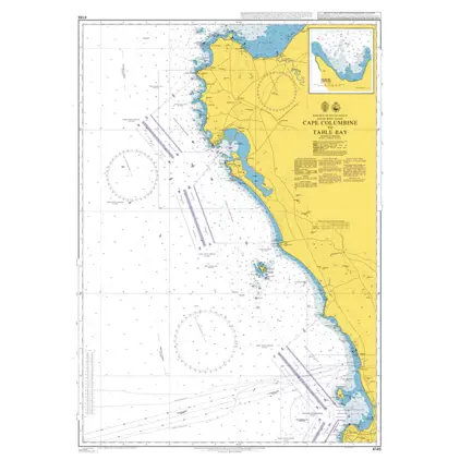
POD 4146 Cape Columbine/Table
Price DKK 525.31
Out of stock
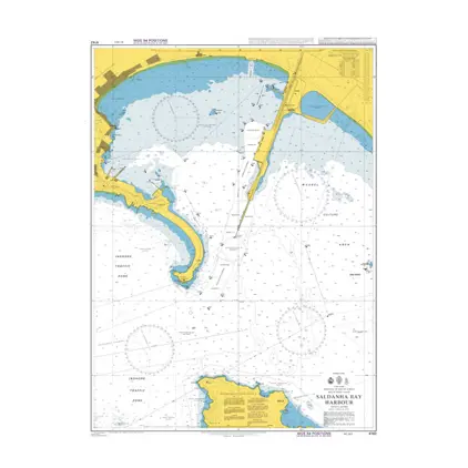
Nautical Chart 4142 Saldanha Bay Harbour
Price DKK 525.31
Out of stock
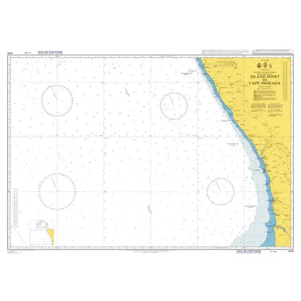
POD 4141 Island Point/Cape De.
Price DKK 525.31
Out of stock
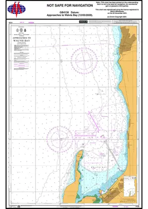
Nautical Chart 4138 Appr. Walvis Bay
Price DKK 525.31
Out of stock
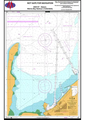
Nautical Chart 4137 Walvis Bay Harbour
Price DKK 525.31
Out of stock
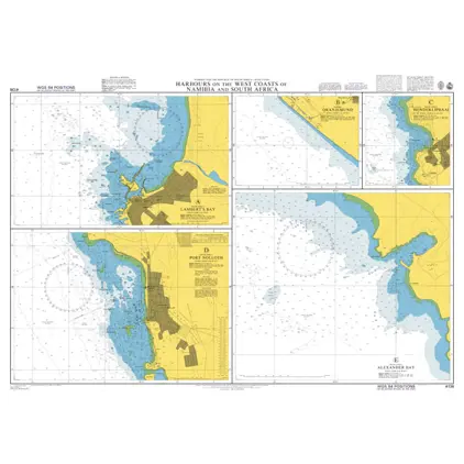
Nautical Chart 4136 Namibia and S. Africa
Price DKK 525.31
Out of stock
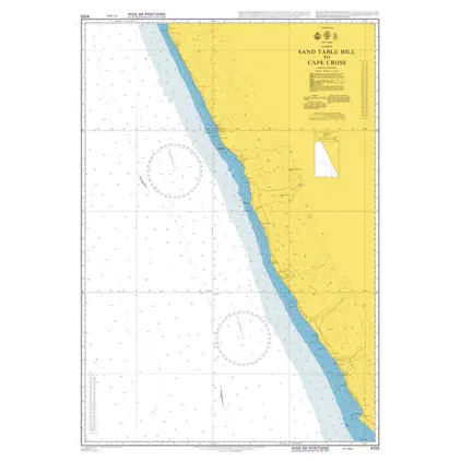
Nautical Chart 4133 Sand Table Hill/ Cape Cross
Price DKK 525.31
Out of stock
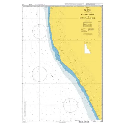
Nautical Chart 4132 Kunene River
Price DKK 525.31
Out of stock
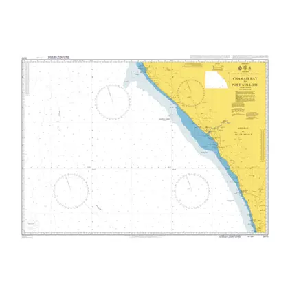
Nautical Chart 3870 Chamais Bay/Port Nolloth
Price DKK 525.31
Out of stock
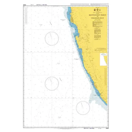
Nautical Chart 3869 Hottentot Pt./Chamais Bay
Price DKK 525.31
Out of stock
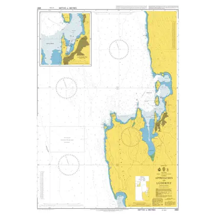
Nautical Chart 3861 App. to Luderitz
Price DKK 525.31
Out of stock
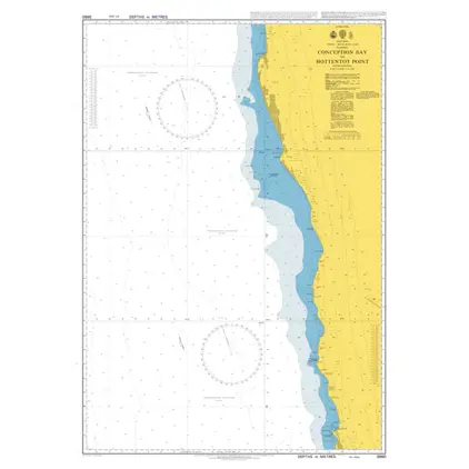
Nautical Chart 3860 Concept. B.-Hottentot
Price DKK 525.31
Out of stock
Nautical Chart 3859 Cape Cross / Conception Bay
Price DKK 525.31
Out of stock
POD 3448 Plans in Angola
Price DKK 525.31
Out of stock
POD 3434 Appr. Calabar Sheet 2
Price DKK 525.31
Out of stock
POD 3433 Appr.to Calabar Sheet
Price DKK 525.31
Out of stock
POD 3432 Ghana,Cape Coast to T
Price DKK 525.31
Out of stock
Nautical Chart 3328 Libreville to Gamba
Price DKK 525.31
Out of stock
Nautical Chart 3327 Bata to Libreville
Price DKK 525.31
Out of stock
Previous
1
2
3
4
...
7
Next
View on map
Close
Close