Africa W
ADMIRALTY nautical sea charts for West Africa.
View on map
101-120
of
124
products
Select an option
Country not found
List is empty.
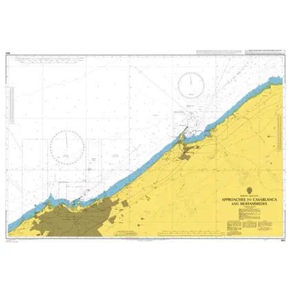
Nautical Chart 860 App.to Casablanca
Price DKK 525.31
Out of stock
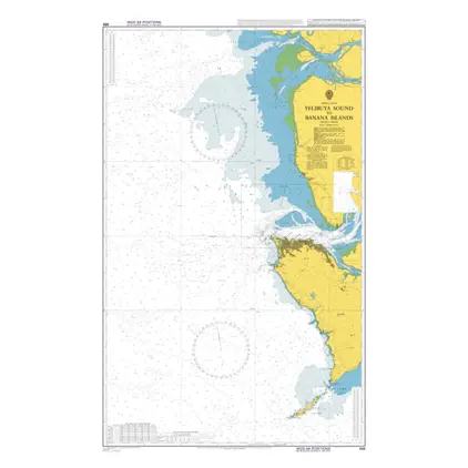
Nautical Chart 686 Yelibuya Sound/Banana
Price DKK 525.31
Out of stock
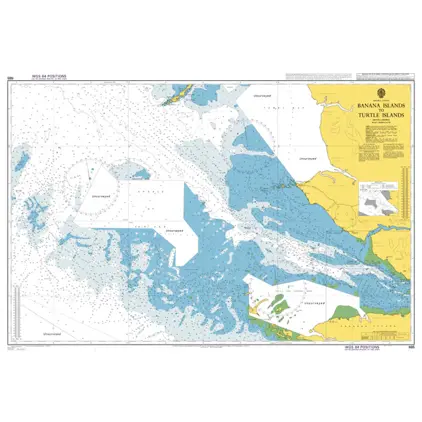
Nautical Chart 685 Banana Islands to Turtle Islands.
Price DKK 525.31
Out of stock
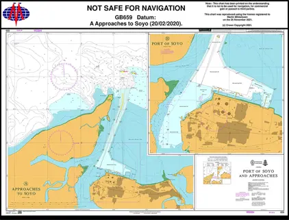
Nautical Chart 659 Port of Soyo and App.
Price DKK 525.31
Out of stock
Nautical Chart 625 Sierra Leone River
Price DKK 525.31
Out of stock
Nautical Chart 623 Tagrin Point to Pepel Pepel
Price DKK 525.31
Out of stock
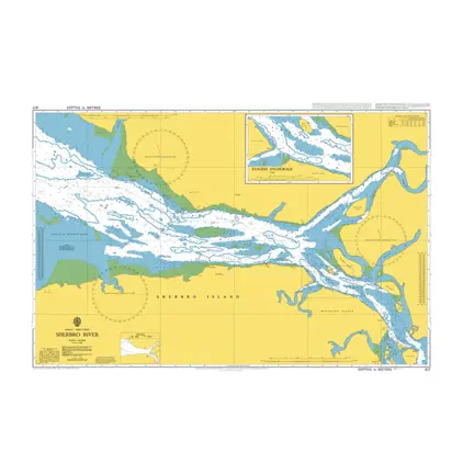
Nautical Chart 617 Sherbro River
Price DKK 525.31
Out of stock
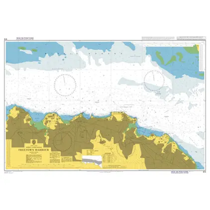
Nautical Chart 614 Freetown Harbour
Price DKK 525.31
Out of stock
Nautical Chart 612 Port Kamsar to Conakry
Price DKK 525.31
Out of stock
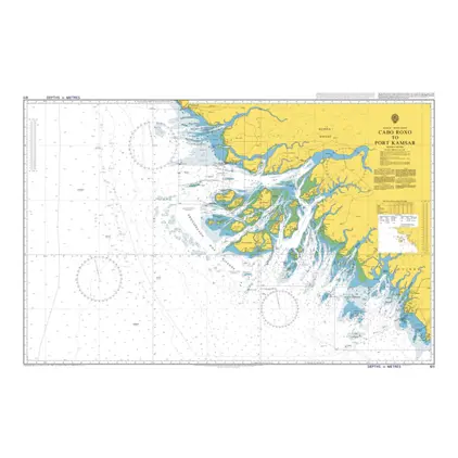
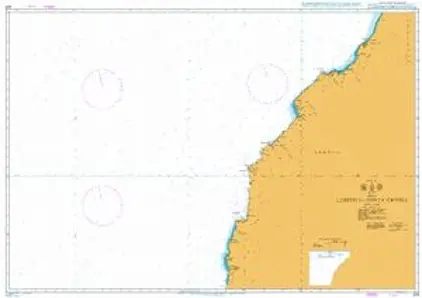
Nautical Chart 611 Cabo Roxo to Port Kams
Price DKK 525.31
Out of stock
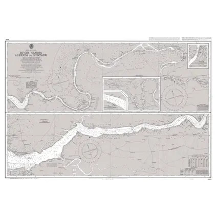
Nautical Chart 609 Gambia River/Kuntaur
Price DKK 525.31
Out of stock
Nautical Chart 607 Riviere Saloum
Price DKK 525.31
Out of stock
Nautical Chart 601 Conakry to Cape Saint Ann
Price DKK 525.31
Out of stock
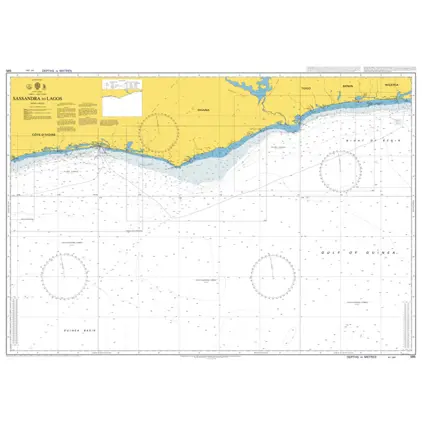
Nautical Chart 595 Sassandra to Lagos
Price DKK 525.31
Out of stock
Nautical Chart 412 Conakry and app.
Price DKK 525.31
Out of stock
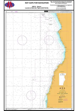
Nautical Chart 312 Luanda - Baía dos Tigres
Price DKK 525.31
Out of stock
Nautical Chart 311 Gamba to Luanda
Price DKK 525.31
Out of stock
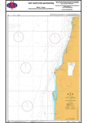
Nautical Chart 310 Ponta Grossa to Kunene River
Price DKK 525.31
Out of stock
Nautical Chart 309 Lobito to Ponta Grossa
Price DKK 525.31
Out of stock
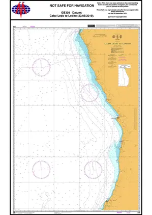
Nautical Chart 308 Cabo Ledo to Lobito
Price DKK 525.31
Out of stock
Previous
1
...
4
5
6
7
Next
View on map
Close
Close