Charts

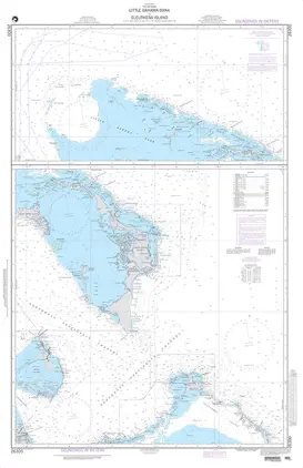
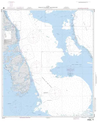
Nautical charts are an indispensable tool and source of information for sailors and mariners. They contain a wide range of important details, including sea depths and the location of buoys and lighthouses, as well as landmarks to help mariners identify their position and orient themselves in relation to the coastline.

View on map
2041-2060 of 6154 products
Select an option
  1. Nautical Chart 26147 Plans in Haiti

    DKK 245.23
    Out of stock
  2. Nautical Chart 26146 Cap-Haitien

    DKK 245.23
    Out of stock
  3. Nautical Chart 26145 MANZANILLO

    DKK 245.23
    Out of stock
  4. Nautical Chart 26143 BAHIA DE MONTE CRIST

    DKK 245.23
    Out of stock
  5. Nautical Chart 26142 APPROACHES TO CAP-HA

    DKK 245.23
    Out of stock
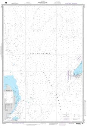
  6. Nautical Chart 26141 CANAL DE LA TORTUE

    DKK 245.23
    Out of stock
  7. Nautical Chart 26140 APPROACHES TO MANZANILLO BAY

    DKK 245.23
    Out of stock
  8. Nautical Chart 26100 MORANT CAYS TO CABO

    DKK 245.23
    Out of stock
  9. Nautical Chart 26070 RIO COLORADO TO CRISTOBAL

    DKK 245.23
    Out of stock
  10. Nautical Chart 26068 Puerto Cristobal

    DKK 245.23
    Out of stock
  11. Nautical Chart 26066 Approaches to Cristobal

    DKK 245.23
    Out of stock
  12. Nautical Chart 26065 CAYOS CHICHIME TO PUNTA RINCON

    DKK 245.23
    Out of stock
  13. Nautical Chart 26060 PUERTO CRISTOBAL TO CABO TIBURON

    DKK 245.23
    Out of stock
  14. Nautical Chart 26050 NICARAGUAN RISE--EAST PART

    DKK 245.23
    Out of stock
  15. Nautical Chart 26042 BAHÍA CONCEPCIÓN/PUNTA BRAVA

    DKK 245.23
    Out of stock
  16. Nautical Chart 26030 BERMUDA OPEERTING AREAS

    Out of stock
  17. Nautical Chart 26001 CARRIBEAN SEA-CENTRAL PART

    DKK 245.23
    Out of stock
  18. Nautical Chart 25849 APP. TO ANDRES, SAN PEDRO MACORIS

    DKK 245.23
    Out of stock
  19. Nautical Chart 25848 Approaches to Santo

    DKK 245.23
    Out of stock
  20. Nautical Chart 25847 Puerto de Haina

    DKK 245.23
    Out of stock
View on map
Close