Charts

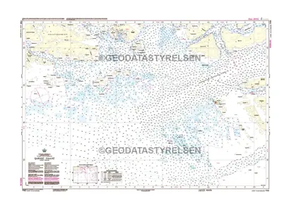
Nautical charts are an indispensable tool and source of information for sailors and mariners. They contain a wide range of important details, including sea depths and the location of buoys and lighthouses, as well as landmarks to help mariners identify their position and orient themselves in relation to the coastline.
View on map
6021-6040 of 6156 products
Select an option
  1. Nautical Chart SE 5342 Gävle approach

    DKK 270.54
    Out of stock
  2. Nautical Chart SE 5331 Søderhamn-Vallvik

    DKK 270.54
    Out of stock
  3. Nautical Chart SE 5121 Vegagrundet-Holmsund-Umeå

    DKK 270.54
    Out of stock
  4. Nautical Chart SE 4211 Skelleftehamn

    DKK 270.54
    Out of stock
  5. Nautical Chart SE 4151 Piteå

    DKK 270.54
    Out of stock
  6. Nautical Chart SE 4101 Luleå-Haparandehamn

    DKK 270.54
    Out of stock
  7. Nautical Chart SE 1353 Trollhättekanal Norra

    DKK 270.54
    Out of stock
  8. Nautical Chart SE 1352 Trollhättekanal Syd

    DKK 270.54
    Out of stock
  9. Nautical Chart SE 1133 Aggarösundet-Hjulstafjärden

    DKK 270.54
    Out of stock
  10. Nautical Chart SE 1131 Galten

    DKK 270.54
    Out of stock
  11. Nautical Chart SE 714 Ølands S Udde -Utlængen

    DKK 270.54
    Out of stock
  12. Nautical Chart SE 712 Borgholm-Kalmar

    DKK 270.54
    Out of stock
  13. Nautical Chart SE 621 Hævringe-Slætbaken

    DKK 270.54
    Out of stock
  14. Nautical Chart SE 617 Landsort-Hævringe

    DKK 270.54
    Out of stock
  15. Nautical Chart SE 613 Rødløga-Svenske Høgarna

    DKK 270.54
    Out of stock
  16. Nautical Chart SE 536 Øregrund-Væddø

    DKK 270.54
    Out of stock
  17. Nautical Chart SE 535 Øregrund-Grundkallen-Bjørn

    DKK 270.54
    Out of stock
  18. Nautical Chart SE 534 Björn - Gävle - Lövgrunds Rabbar

    DKK 270.54
    Out of stock
  19. Nautical Chart SE 533 Lôvgrunds Rabbar-Hællgrund

    DKK 270.54
    Out of stock
  20. Nautical Chart SE 532 Hællgrund-Hornslandet

    DKK 270.54
    Out of stock
View on map
Close