Charts

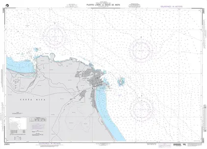
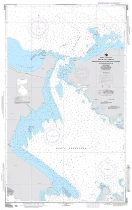
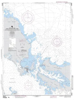
Nautical charts are an indispensable tool and source of information for sailors and mariners. They contain a wide range of important details, including sea depths and the location of buoys and lighthouses, as well as landmarks to help mariners identify their position and orient themselves in relation to the coastline.
View on map
2021-2040 of 5090 products
Select an option
  1. POD 5399 Magnetic Var.2010,S.P

    DKK 204.58
    Out of stock
  2. POD 5385 Magnetic Var.2010,Ind

    DKK 204.58
    Out of stock
  3. POD 5384 Magnetic Var.2005,Pol

    DKK 204.58
    Out of stock
  4. POD 5383 Magnetic Dip

    DKK 204.58
    Out of stock
  5. POD 5377 Magnetic Var.2010,N.P

    DKK 204.58
    Out of stock
  6. POD 5376 Magnetic Var.2010,S.A

    DKK 204.58
    Out of stock
  7. POD 5374 Magnetic V. The World

    DKK 204.58
    Out of stock
  8. POD 5349 Plotting Sheet, Latitude 60-66

    DKK 204.58
    Out of stock
  9. POD 5348 Plotting Sheet, Latitude 54-60

    DKK 204.58
    Out of stock
  10. POD 5347 Plotting Sheet, Latitude 48-54

    DKK 204.58
    Out of stock
  11. POD 5346 Plotting Sheet, Latitude 42-48

    DKK 204.58
    Out of stock
  12. POD 5345 Plotting Sheet, Latitude 36-42

    DKK 204.58
    Out of stock
  13. POD 5344 Plotting Sheet, Latitude 30-36

    DKK 204.58
    Out of stock
  14. POD 5343 Plotting Sheet, Latitude 24-30

    DKK 204.58
    Out of stock
  15. POD 5342 Plotting Sheet, Latitude 18-24

    DKK 204.58
    Out of stock
  16. POD 5341 Plotting Sheet, Latitude 12-18

    DKK 204.58
    Out of stock
  17. POD 5340 Plotting Sheet, Latitude 06-12

    DKK 204.58
    Out of stock
  18. POD 5339 Plotting Sheet, Latitude 00-06

    DKK 204.58
    Out of stock
  19. POD 5338 Plotting Sh.84-90¤Ste

    DKK 204.58
    Out of stock
  20. POD 5337 Plotting Sh.78-84¤Ste

    DKK 204.58
    Out of stock
View on map
Close