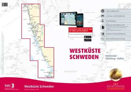
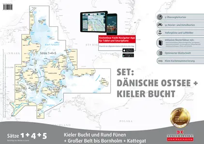
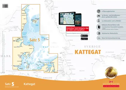
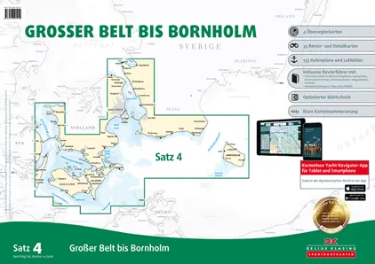
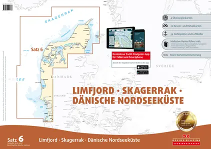
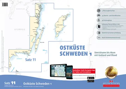
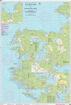
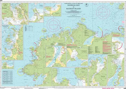
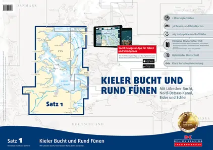
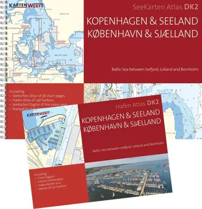
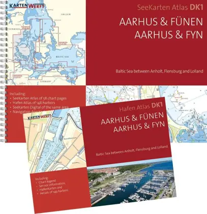
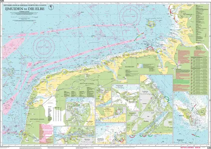
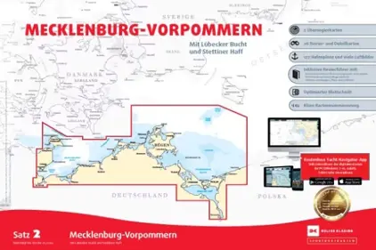
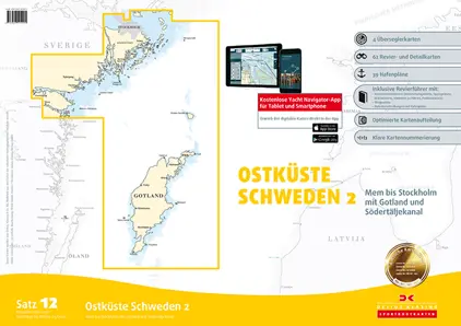
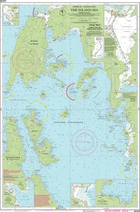
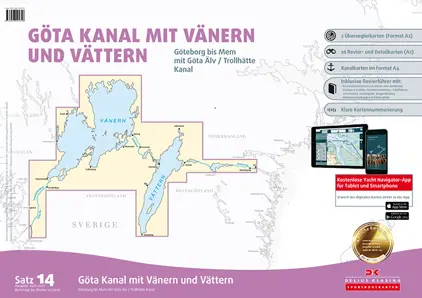
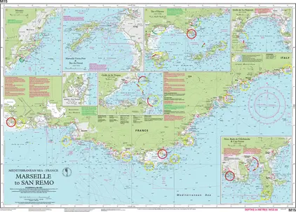
Yachting Charts

Our yachting charts are the perfect fit for leisure sailors. Designed in a convenient space-saving A2 size, these charts offer the essential nautical information you need. While standard charts are in A0 size and updated weekly, our yachting charts are updated annually, catering to your leisurely pace. Discover paper charts for Scandinavia, Northern Europe, Mediterranean, and Caribbean at your fingertips!

View on map
1-20 of 790 products
Select an option
  1. Søsportskort Set 1 - 4 - 5, Kieler Bay and Round Fyn, Great Belt

    DKK 1,767.25
    Out of stock
  2. Hamnguiden 5, Göteborg - Svinesund

    DKK 380.80
    BookE-Book
  3. KOMMAs HAVNELODS

    DKK 427.50
    Out of stock
    Book
  4. Nautical Chart G14 Saronic and Argolic Gulfs

    DKK 272.20
    Out of stock
  5. Nautical Chart M26 Split to Dubrovnik

    DKK 272.20
    Out of stock
  6. Ostkusten

    DKK 533.63
    Out of stock
  7. Cruising Guide to Netherlands

    DKK 312.55
    BookE-Book
  8. Hamnguiden 7 Landsort - Skanör

    DKK 380.80
    BookE-Book
  9. Yachting chart - Set 3 Western Sweden

    DKK 868.75
    Out of stock
  10. Serie C Åland

    DKK 512.88
    Out of stock
  11. Søsportskort Set 12 - Østkysten Sverige 2 - East coast Sweden 2024/2025

    DKK 1,218.75
    Out of stock
  12. Nautical Chart C26 IJmuiden to Die Elbe

    DKK 272.20
    Out of stock
  13. Søsportskort Set 4 - Storebælt til Bornholm

    DKK 785.00
    Out of stock
  14. Hamnguiden 8, Arholma - Landsort

    DKK 380.80
    BookE-Book
  15. Havneguiden 1, Svinesund-Langesund

    DKK 380.80
    BookE-Book
  16. Søsportskort Set 11 - Østkysten Sverige 1 - East Coast Sweden

    DKK 1,160.00
    Out of stock
  17. Hamnguiden 9, Göta Kanal

    DKK 425.60
    Out of stock
    Book
  18. Havneguiden 2 Langesund-Lindesnes

    DKK 380.80
    BookE-Book
  19. Hafenguide 11 Flensburg-Danzig

    DKK 425.60
    Out of stock
    Book
  20. Inland Water. Netherland

    DKK 443.25
    Out of stock
    Book
View on map
Close