UKHO Charts
Browse our selection of detailed sea charts from the United Kingdom Hydrographic Office.
View on map
2761-2780
of
3765
products
Select an option
Country not found
List is empty.
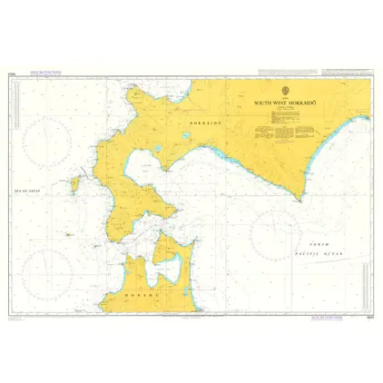
Nautical Chart 1800 South-West Hokkaido
Price DKK 525.31
Out of stock
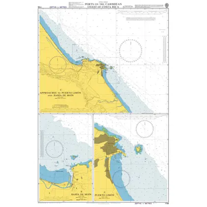
Nautical Chart 1798 Caribbean coast: Ports
Price DKK 525.31
Out of stock
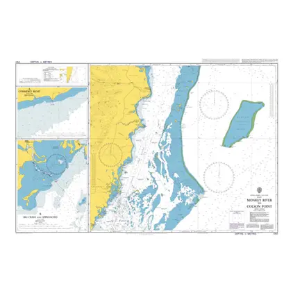
Nautical Chart 1797 Monkey River/Colson Point
Price DKK 525.31
Out of stock
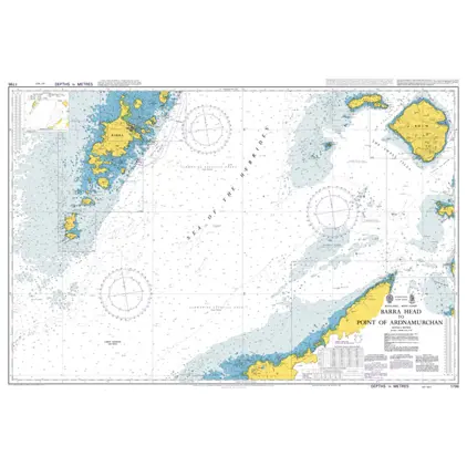
Nautical Chart 1796 Barra Hd/Pt.Ardnamurc
Price DKK 525.31
Out of stock
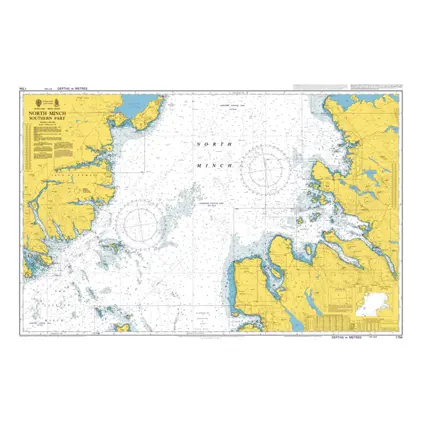
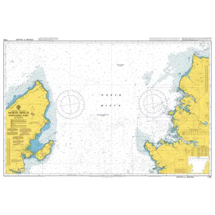
Nautical Chart 1794 North Minch-south part
Price DKK 525.31
Out of stock
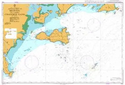
Nautical Chart 1792 Approaches to Shantou including Chaozhou Gang
Price DKK 525.31
Out of stock
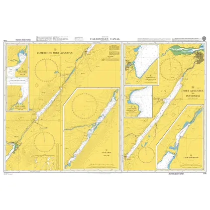
Nautical Chart 1791 Caledonian Canal
Price DKK 525.31
Out of stock
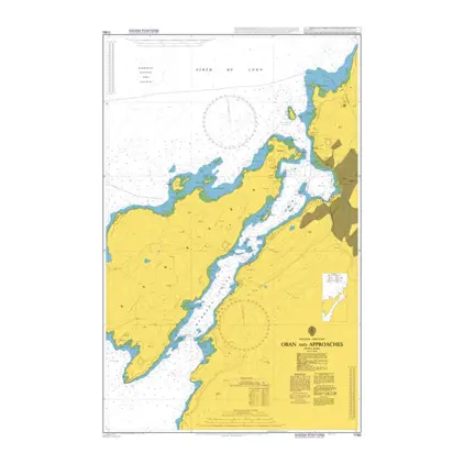
Nautical Chart 1790 Oban and approaches
Price DKK 525.31
Out of stock
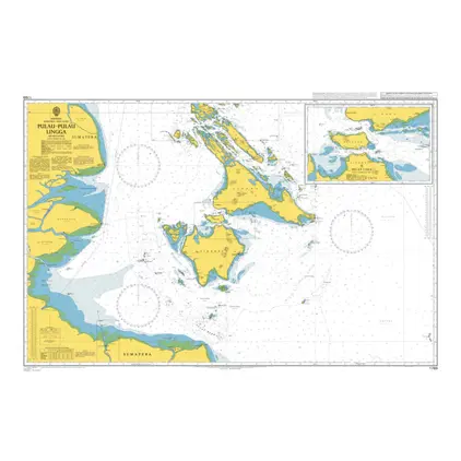
Nautical Chart 1789 Pulau-Pulau Lingga
Price DKK 525.31
Out of stock
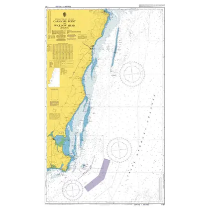
Nautical Chart 1787 Carnsore Pt./ Wicklow
Price DKK 525.31
Out of stock
Nautical Chart 1785 North Minch-north part
Price DKK 525.31
Out of stock
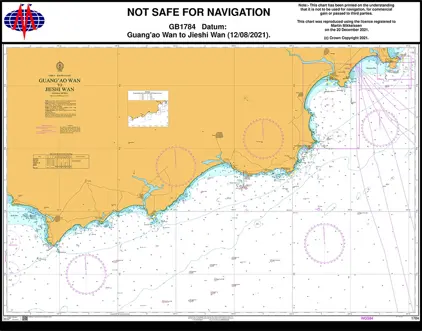
Nautical Chart 1784 China-Guang'ao Wan to Jieshi Wan.
Price DKK 525.31
Out of stock
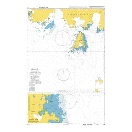
Nautical Chart 1779 App to Signy Island
Price DKK 525.31
Out of stock
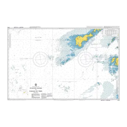
Nautical Chart 1778 Stanton Banks to Passage of Tiree
Price DKK 525.31
Out of stock
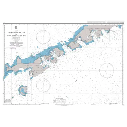
Nautical Chart 1776 Livingston/King Georg
Price DKK 525.31
Out of stock
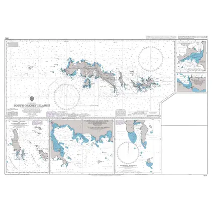
Nautical Chart 1775 South Orkney Islands
Price DKK 525.31
Out of stock
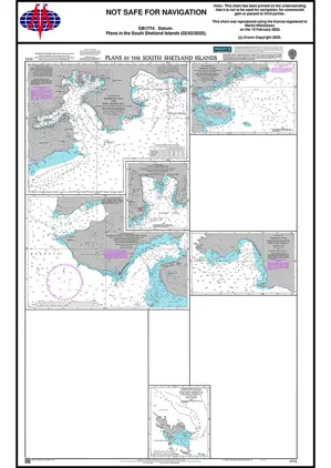
Nautical Chart 1774 S. Shetland Islands: Plans
Price DKK 525.31
Out of stock
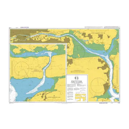
Nautical Chart 1773 Port of Cork, Upper Harbour
Price DKK 525.31
Out of stock
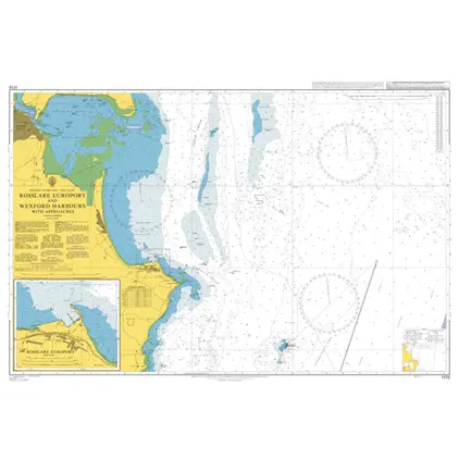
Nautical Chart 1772 Rosslare Europort/Wexford Harbours
Price DKK 525.31
Out of stock
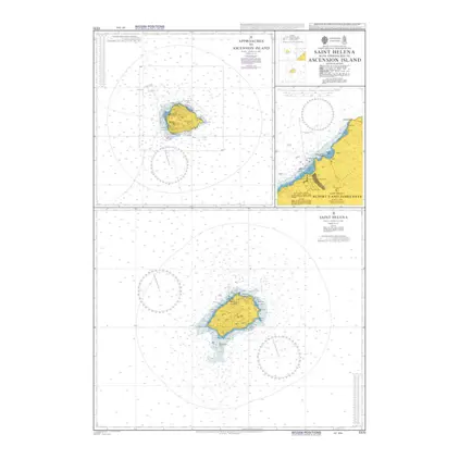
Nautical Chart 1771 Island of Saint Helen
Price DKK 525.31
Out of stock
Previous
1
...
137
138
139
140
141
...
189
Next
View on map
Close
Close