UKHO Charts
Browse our selection of detailed sea charts from the United Kingdom Hydrographic Office.
View on map
2781-2800
of
3765
products
Select an option
Country not found
List is empty.
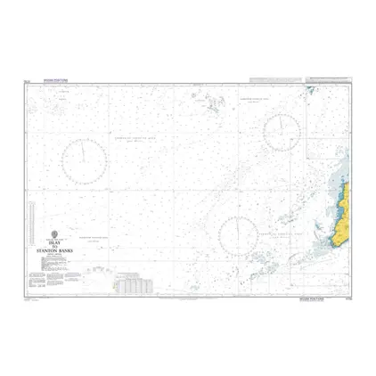
Nautical Chart 1770 Islay to Stanton Bank
Price DKK 525.31
Out of stock
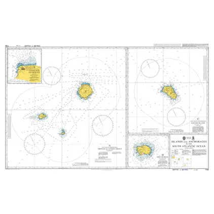
Nautical Chart 1769 S. Atlantic Ocean: Islands and Anchorages.
Price DKK 525.31
Out of stock
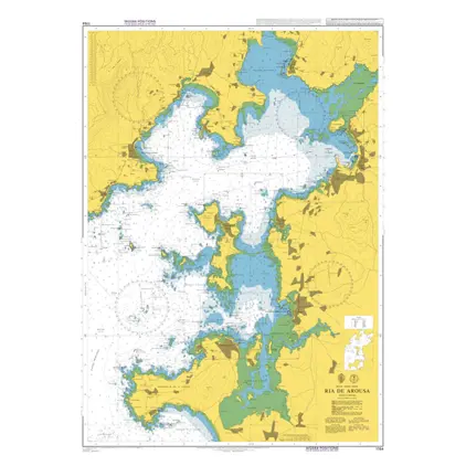
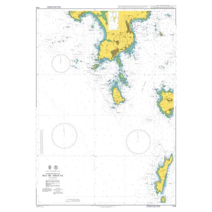
Nautical Chart 1764 Ria de Arosa
Price DKK 525.31
Out of stock
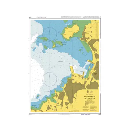
Nautical Chart 1762 Villagarcia de Arousa
Price DKK 525.31
Out of stock
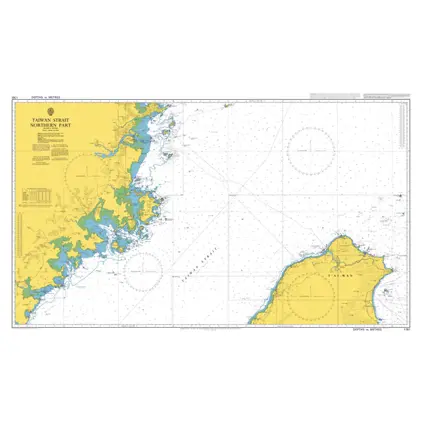
Nautical Chart 1761 Taiwan Strait-north part
Price DKK 525.31
Out of stock
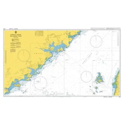
Nautical Chart 1760 Taiwan Strait-south part
Price DKK 525.31
Out of stock
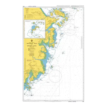
Nautical Chart 1759 Wenzhou wan/Ningbo Gang
Price DKK 525.31
Out of stock
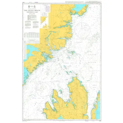
Nautical Chart 1757 The Little Minch, Northern Part
Price DKK 525.31
Out of stock
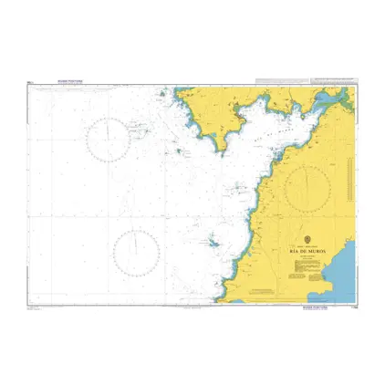
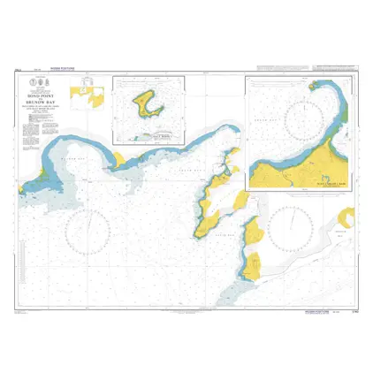
Nautical Chart 1756 Ria de Muros
Price DKK 525.31
Out of stock
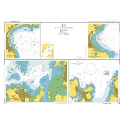
Nautical Chart 1755 Ria de Arousa: plans
Price DKK 525.31
Out of stock
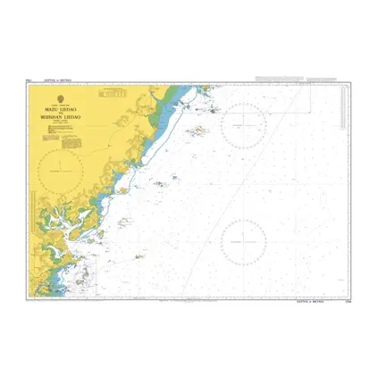
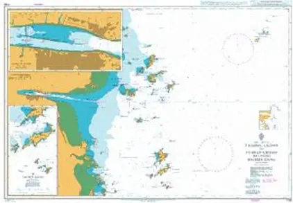
Nautical Chart 1754 Mazu Liedao/Beijishan
Price DKK 525.31
Out of stock
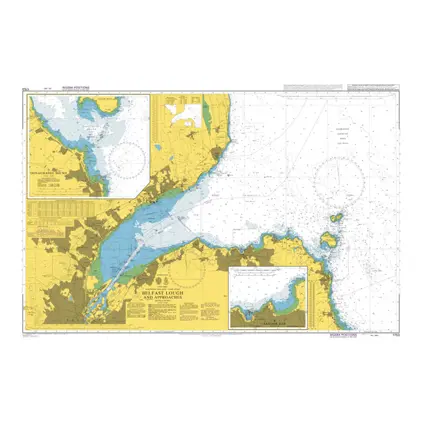
Nautical Chart 1753 Belfast Lough and app
Price DKK 525.31
Out of stock
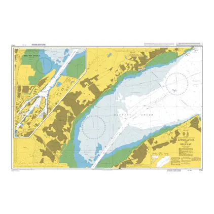
Nautical Chart 1752 Approaches to Belfast
Price DKK 525.31
Out of stock
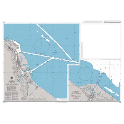
Nautical Chart 1751 Puerto de Buenos Aires
Price DKK 525.31
Out of stock
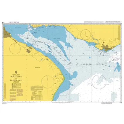
Nautical Chart 1749 Rio de la Plata
Price DKK 525.31
Out of stock
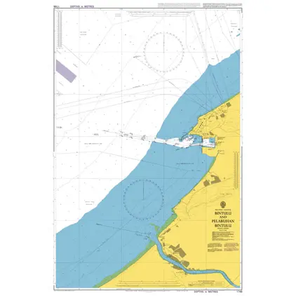
Nautical Chart 1748 Bintulu and Pelabuhan
Price DKK 525.31
Out of stock
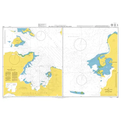
Nautical Chart 1741 Plans Greenwich Islands
Price DKK 525.31
Out of stock
Nautical Chart 1740 South Shetland Island
Price DKK 525.31
Out of stock
Nautical Chart 1738 Taizhou Liedao to Yushan
Price DKK 525.31
Out of stock
Nautical Chart 1734 App. to Ria de Arosa
Price DKK 525.31
Out of stock
Previous
1
...
138
139
140
141
142
...
189
Next
View on map
Close
Close