UKHO Charts
Browse our selection of detailed sea charts from the United Kingdom Hydrographic Office.
View on map
2721-2740
of
3765
products
Select an option
Country not found
List is empty.
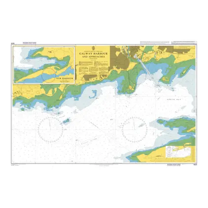
Nautical Chart 1904 Galway Harbour & Appr
Price DKK 525.31
Out of stock
Nautical Chart 1902 Hamoaze
Price DKK 525.31
Out of stock
Nautical Chart 1901 Smeaton Pass and Narrows
Price DKK 525.31
Out of stock
Nautical Chart 1900 Whitsand Bay & Yealm Hd. incl. Plymouth Sound.
Price DKK 525.31
Out of stock
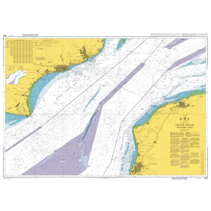
Nautical Chart 1892 Dover Strait,west par
Price DKK 525.31
Out of stock
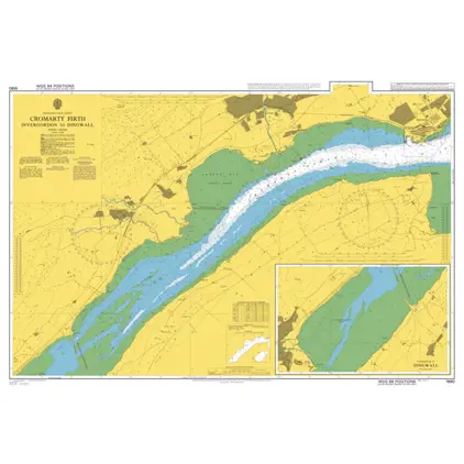
Nautical Chart 1890 Invergordon to Dingwa
Price DKK 525.31
Out of stock
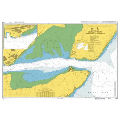
Nautical Chart 1889 Cromarty B./Invergord
Price DKK 525.31
Out of stock
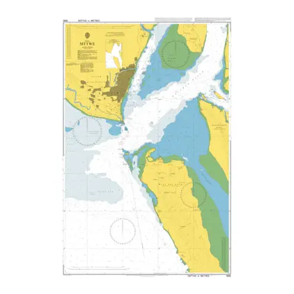
Nautical Chart 1885 Burma,Sittwe
Price DKK 525.31
Out of stock
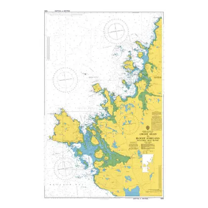
Nautical Chart 1883 Crohy Hd/Bloody Foreland
Price DKK 525.31
Out of stock
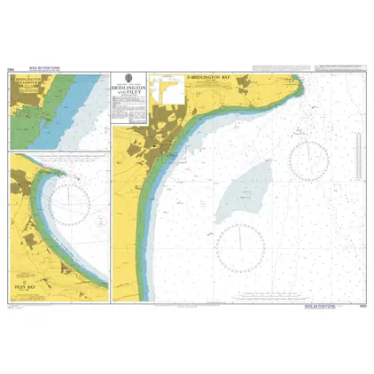
Nautical Chart 1882 Bridlington and Filey
Price DKK 525.31
Out of stock
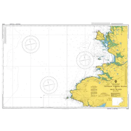
Nautical Chart 1879 Rathlin O'Birne Islan
Price DKK 525.31
Out of stock
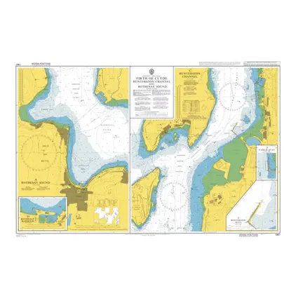
Nautical Chart 1867 Hunterston Channel
Price DKK 525.31
Out of stock
Nautical Chart 1866 Firth of Clyde: ports
Price DKK 525.31
Out of stock
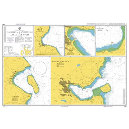
Nautical Chart 1864 Arran & Kintyre : Harbours & Acho.
Price DKK 525.31
Out of stock
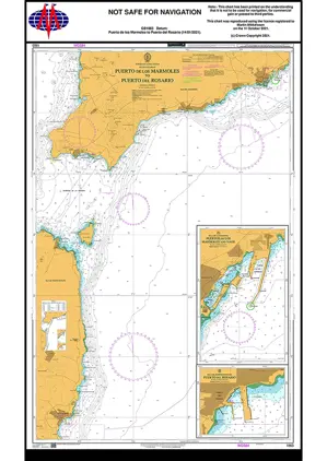
Nautical Chart 1863 Puerto de los Marmole
Price DKK 525.31
Out of stock
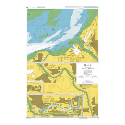
Nautical Chart 1859 Port of Bristol
Price DKK 525.31
Out of stock
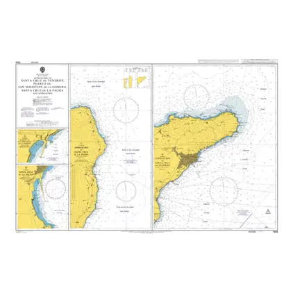
Nautical Chart 1858 App: Santa Cruz-Tenerife
Price DKK 525.31
Out of stock
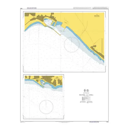
Nautical Chart 1854 Motril and Adra
Price DKK 525.31
Out of stock
Nautical Chart 1853 App.to Bahia del Callao
Price DKK 525.31
Out of stock
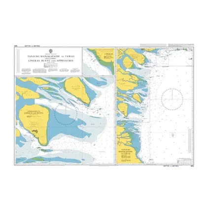
Nautical Chart 1852 Taway to Tarakan
Price DKK 525.31
Out of stock
Previous
1
...
135
136
137
138
139
...
189
Next
View on map
Close
Close