UKHO Charts
Browse our selection of detailed sea charts from the United Kingdom Hydrographic Office.
View on map
2681-2700
of
3765
products
Select an option
Country not found
List is empty.
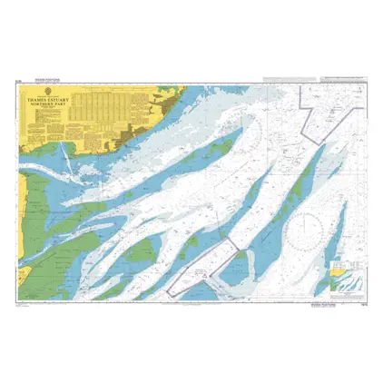
Nautical Chart 1975 Thames Estuary - Northern Part
Price DKK 525.31
Out of stock
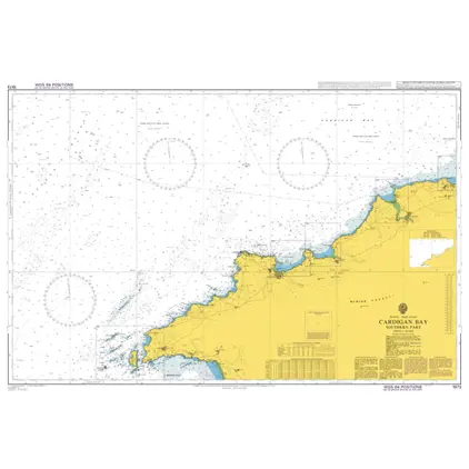
Nautical Chart 1973 Cardigan Bay-south part
Price DKK 525.31
Out of stock
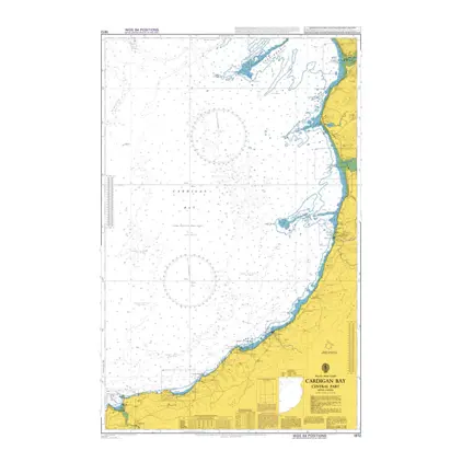
Nautical Chart 1972 Cardigan Bay-centr. part
Price DKK 525.31
Out of stock
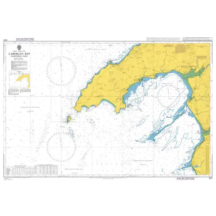
Nautical Chart 1971 Cardigan Bay-north part
Price DKK 525.31
Out of stock
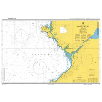
Nautical Chart 1970 Caernarfon Bay
Price DKK 525.31
Out of stock
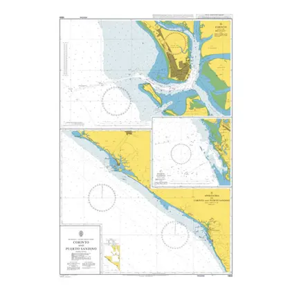
Nautical Chart 1969 Corinto & Puerto Sandino
Price DKK 525.31
Out of stock
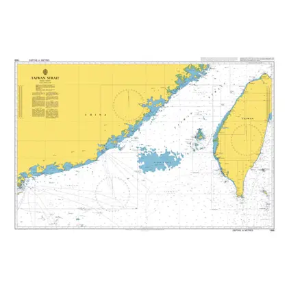
Nautical Chart 1968 Taiwan Strait
Price DKK 525.31
Out of stock
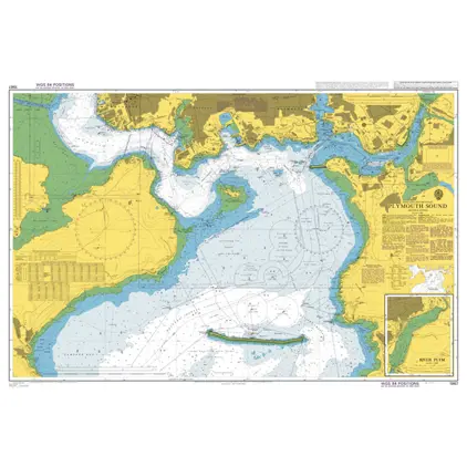
Nautical Chart 1967 Plymouth Sound
Price DKK 525.31
Out of stock
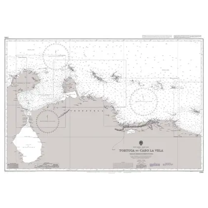
Nautical Chart 1966 Carupano to Punta Gallinas
Price DKK 525.31
Out of stock
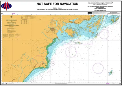
Nautical Chart 1965 Cua lac Giang/ to Iles Kao Tao
Price DKK 525.31
Out of stock
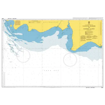
Nautical Chart 1964 Tanjung Siamok to Gosong
Price DKK 525.31
Out of stock
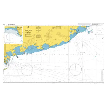
Nautical Chart 1962 Hong Kong to Shantou
Price DKK 525.31
Out of stock
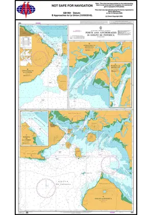
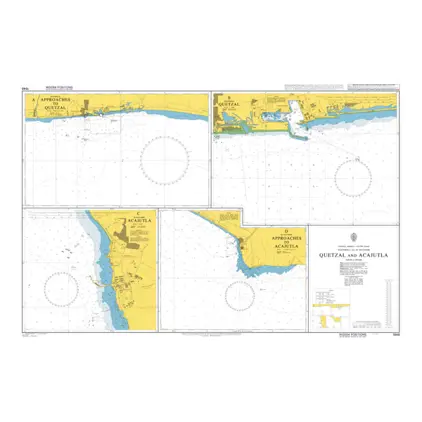
Nautical Chart 1961 Ports & App Golfo Fonseca
Price DKK 525.31
Out of stock
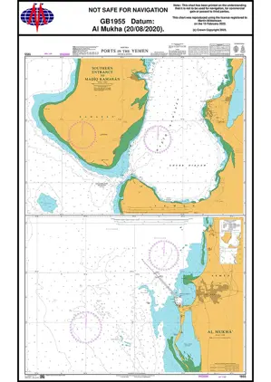
Nautical Chart 1955 Ports in Yemen
Price DKK 525.31
Out of stock
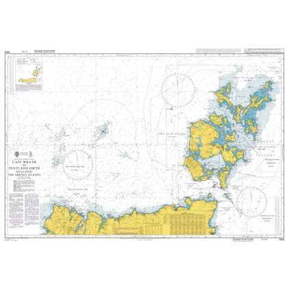
Nautical Chart 1954 Cape Wrath to Pentland Firth
Price DKK 525.31
Out of stock
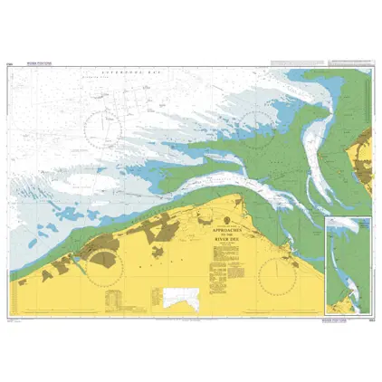
Nautical Chart 1953 Approaches to River Dee
Price DKK 525.31
Out of stock
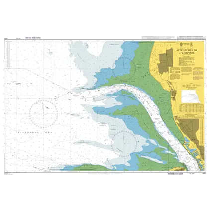
Nautical Chart 1951 Approaches Liverpool
Price DKK 525.31
Out of stock
Nautical Chart 1949 App.to Miri & Batang Baram
Price DKK 525.31
Out of stock
Nautical Chart 1947 Admiralty Inlet & Puget Sound
Price DKK 525.31
Out of stock
Nautical Chart 1946 Guatemala & El Salvador
Price DKK 525.31
Out of stock
Previous
1
...
133
134
135
136
137
...
189
Next
View on map
Close
Close