UKHO Charts
Browse our selection of detailed sea charts from the United Kingdom Hydrographic Office.
2601-2620
of
3765
products
Select an option
Country not found
List is empty.
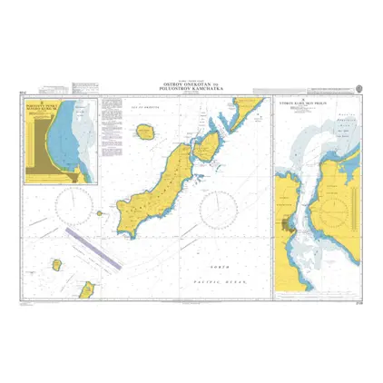
Nautical Chart 2128 Ostrov Onekotan
Price DKK 525.31
Out of stock
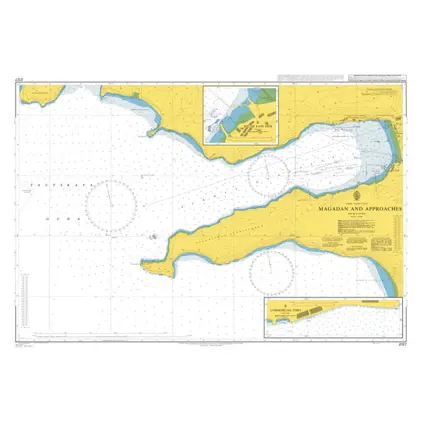
Nautical Chart 2127 Magadan & Approaches
Price DKK 525.31
Out of stock
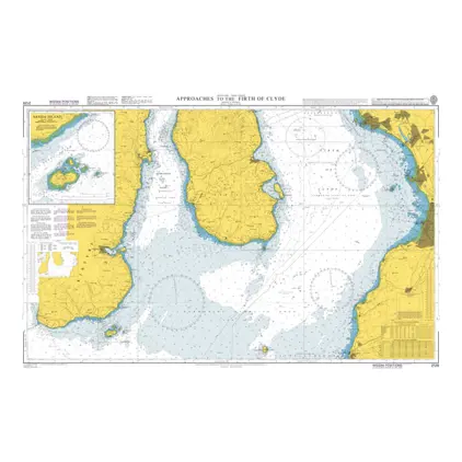
Nautical Chart 2126 App. Firth of Clyde
Price DKK 525.31
Out of stock
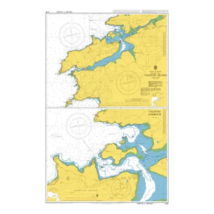
Nautical Chart 2125 Valentia Island
Price DKK 525.31
Out of stock
Nautical Chart 2116 Fos-Sur-Mer to Marseille
Price DKK 525.31
Out of stock
Nautical Chart 2114 Ports in Golfe du Lion
Price DKK 525.31
Out of stock
Nautical Chart 2112 Kota Kinabalu to Pulau
Price DKK 525.31
Out of stock
Nautical Chart 2109 Tanjung Baram to Labuan
Price DKK 525.31
Out of stock
Nautical Chart 2104 Iskenderun to Yakacik
Price DKK 525.31
Out of stock
Nautical Chart 2103 Sihanoukville and app
Price DKK 525.31
Out of stock
Nautical Chart 2101 Mersin Limani
Price DKK 525.31
Out of stock
Nautical Chart 2100 Bintulu Port and app.
Price DKK 525.31
Out of stock
Nautical Chart 2099 Tawau and approaches
Price DKK 525.31
Out of stock
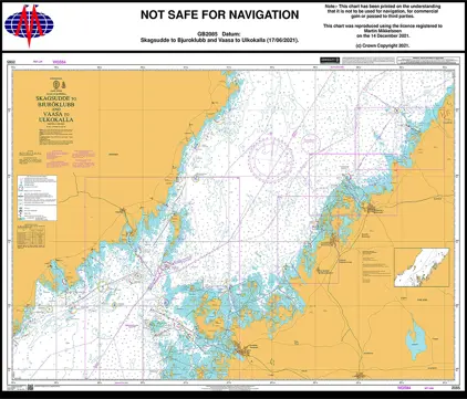
Nautical Chart 2098 Bjuröklubb and Vaasa
Price DKK 525.31
Out of stock
Nautical Chart 2097 Port Onega and app.
Price DKK 525.31
Out of stock
Nautical Chart 2096 Cashla Bay to Kilkier
Price DKK 525.31
Out of stock
Nautical Chart 2094 Kirkcudbright to Mull
Price DKK 525.31
Out of stock
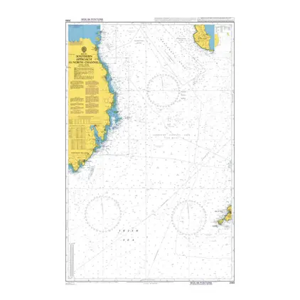
Nautical Chart 2093 South.app.to North Channel
Price DKK 525.31
Out of stock
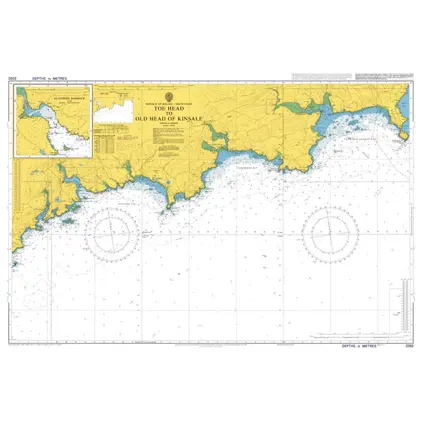
Nautical Chart 2092 Toe Head to Old Head of Kinsale
Price DKK 525.31
Out of stock
Nautical Chart 2085 Skagsudde to Bjuröklubb
Price DKK 525.31
Out of stock
Previous
1
...
129
130
131
132
133
...
189
Next
Close