UKHO Charts
Browse our selection of detailed sea charts from the United Kingdom Hydrographic Office.
View on map
2621-2640
of
3765
products
Select an option
Country not found
List is empty.
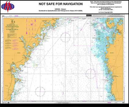
Nautical Chart 2083 Sundsvall to Sydostbrotten and Yttergrund to Vaasa
Price DKK 525.31
Out of stock
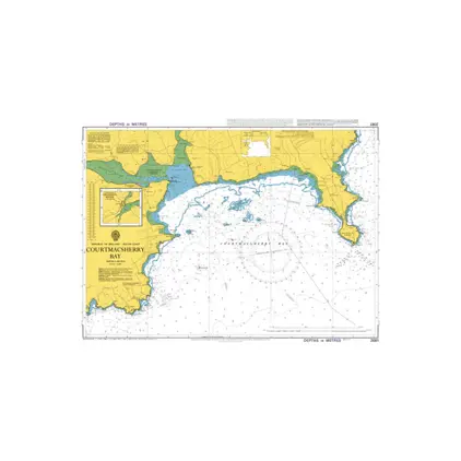
Nautical Chart 2081 Courtmacsherry Bay
Price DKK 525.31
Out of stock
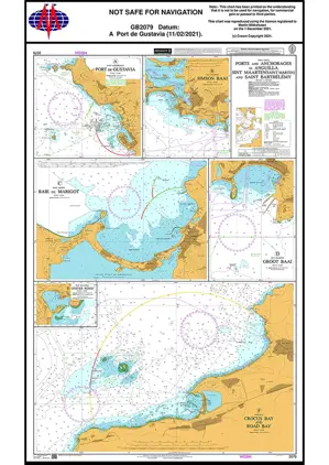
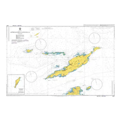
Nautical Chart 2079 Ports & anch. in Anguilla
Price DKK 525.31
Out of stock
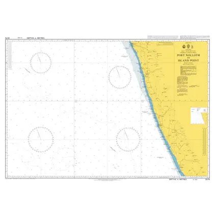
Nautical Chart 2078 Africa, Port Nolloth to Island Point
Price DKK 525.31
Out of stock
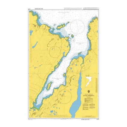
Nautical Chart 2076 Loch Eriboll
Price DKK 525.31
Out of stock
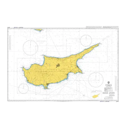
Nautical Chart 2074 Cyprus
Price DKK 525.31
Out of stock
Nautical Chart 2071 Youghal Harbour
Price DKK 525.31
Out of stock
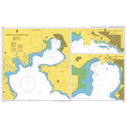
Nautical Chart 2070 App.to Thessaloniki
Price DKK 525.31
Out of stock
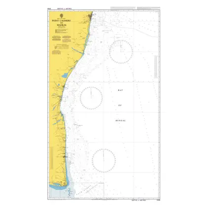
Nautical Chart 2069 Point Calimere to Mad
Price DKK 525.31
Out of stock
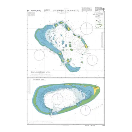
Nautical Chart 2068 Ihavandhippolhu Atoll
Price DKK 525.31
Out of stock
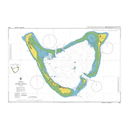
Nautical Chart 2067 Maldives, Addoo Atoll
Price DKK 525.31
Out of stock
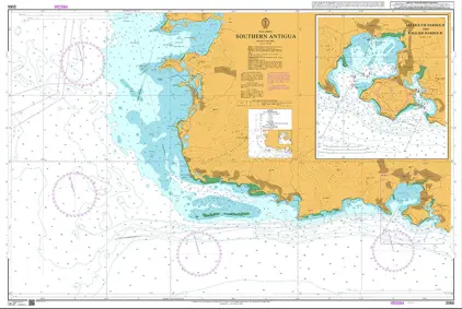
Nautical Chart 2066 Southern Antigua
Price DKK 525.31
Out of stock
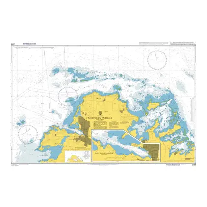
Nautical Chart 2065 North Antigua, Saint John's Harbour
Price DKK 525.31
Out of stock
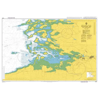
Nautical Chart 2057 Westport Bay and app.
Price DKK 525.31
Out of stock
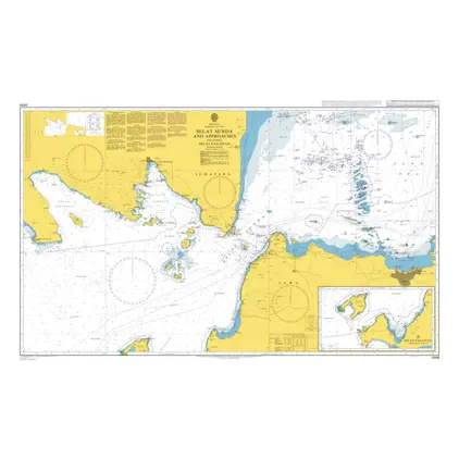
Nautical Chart 2056 Selat Sunda and app.
Price DKK 525.31
Out of stock
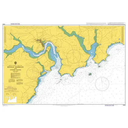
Nautical Chart 2053 Kinsale Hb. & Oyster Haven
Price DKK 525.31
Out of stock
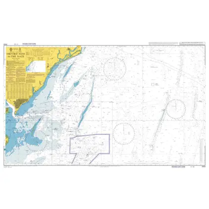
Nautical Chart 2052 Orford Ness to The Naze
Price DKK 525.31
Out of stock
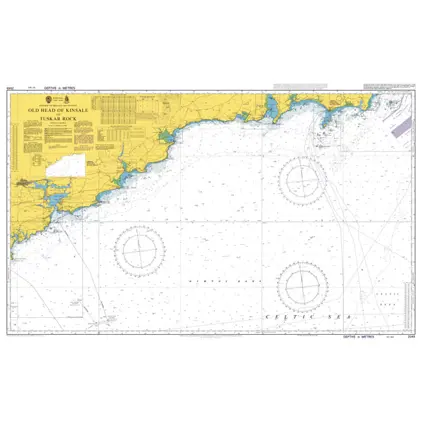
Nautical Chart 2049 Old Head of Kinsale
Price DKK 525.31
Out of stock
Nautical Chart 2047 Western app to Anguilla
Price DKK 525.31
Out of stock
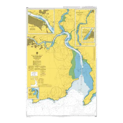
Nautical Chart 2046 Waterford Harbour
Price DKK 525.31
Out of stock
Previous
1
...
130
131
132
133
134
...
189
Next
View on map
Close
Close