UKHO Charts
Browse our selection of detailed sea charts from the United Kingdom Hydrographic Office.
View on map
2561-2580
of
3765
products
Select an option
Country not found
List is empty.
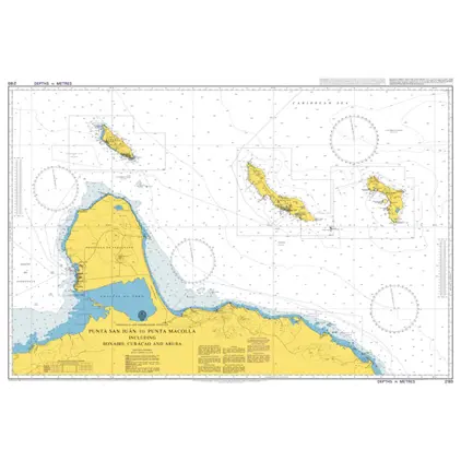
Nautical Chart 2193 Punta San Juan to Punta Macolla
Price DKK 525.31
Out of stock
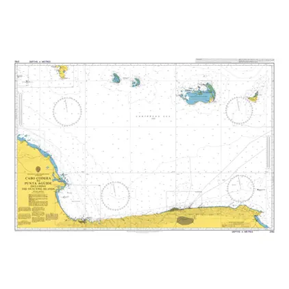
Nautical Chart 2192 Cabo Codera to Punta Aguide
Price DKK 525.31
Out of stock
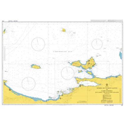
Nautical Chart 2191 Morro de Puerto Santo to Cabo Codera
Price DKK 525.31
Out of stock
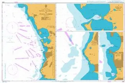
Nautical Chart 2190 Pun Salinas to Punta Cardon
Price DKK 525.31
Out of stock
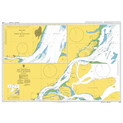
Nautical Chart 2189 Rio Amazonas,Ca.do No
Price DKK 525.31
Out of stock
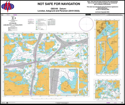
Nautical Chart 2185 Saarisomeri, Lövskär
Price DKK 525.31
Out of stock
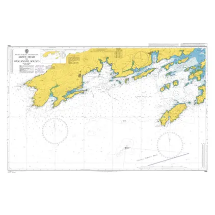
Nautical Chart 2184 Mizen Hd. to Gascanane Sound
Price DKK 525.31
Out of stock
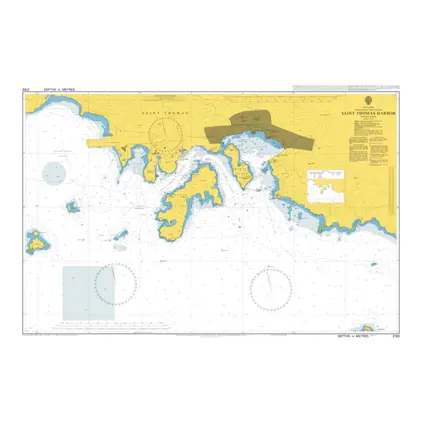
Nautical Chart 2183 Saint Thomas Harbor
Price DKK 525.31
Out of stock
Nautical Chart 2175 Poole Bay
Price DKK 525.31
Out of stock
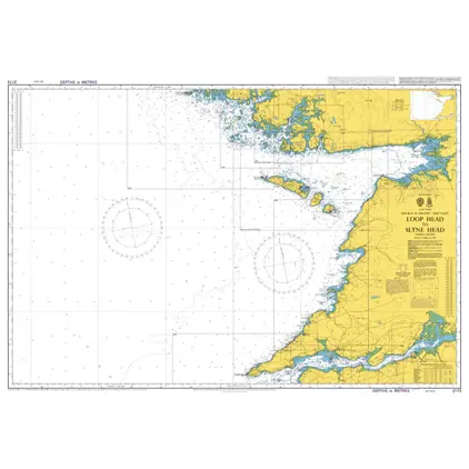
Nautical Chart 2173 Loop Head to Slyne He
Price DKK 525.31
Out of stock
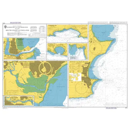
Nautical Chart 2172 S. Coast England Harbours and Anchorages
Price DKK 525.31
Out of stock
Nautical Chart 2171 Sound of Mull and approaches
Price DKK 525.31
Out of stock
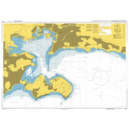
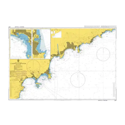
Nautical Chart 2170 Rade de Toulon
Price DKK 525.31
Out of stock
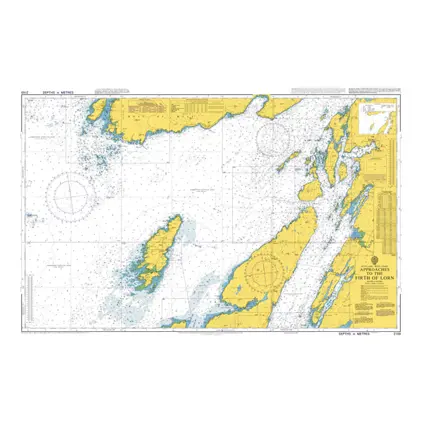
Nautical Chart 2169 App.to the Firth of Lorn
Price DKK 525.31
Out of stock
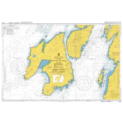
Nautical Chart 2168 App to the Sound of Jura
Price DKK 525.31
Out of stock
Nautical Chart 2167 Approaches to Rauma.
Price DKK 525.31
Out of stock
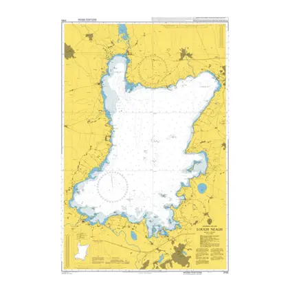
Nautical Chart 2163 Lough Neagh
Price DKK 525.31
Out of stock
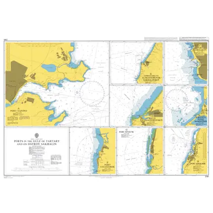
Nautical Chart 2161 Gulf of Tartary: Ports
Price DKK 525.31
Out of stock
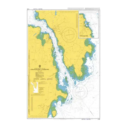
Nautical Chart 2159 Strangford Narrows
Price DKK 525.31
Out of stock
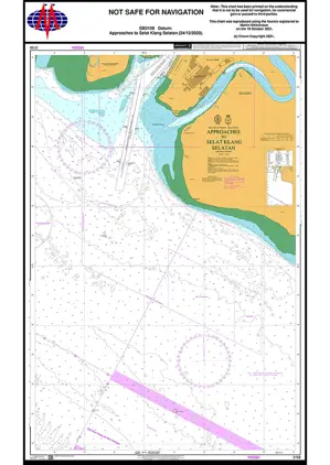
Nautical Chart 2158 App Selat Klang Sela.
Price DKK 525.31
Out of stock
Previous
1
...
127
128
129
130
131
...
189
Next
View on map
Close
Close