UKHO Charts
Browse our selection of detailed sea charts from the United Kingdom Hydrographic Office.
View on map
2241-2260
of
3765
products
Select an option
Country not found
List is empty.
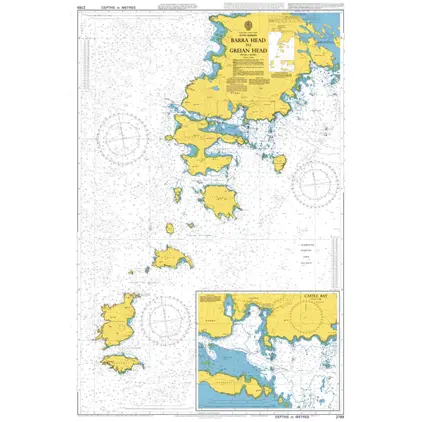
Nautical Chart 2769 Barra head - Greian head
Price DKK 525.31
Out of stock
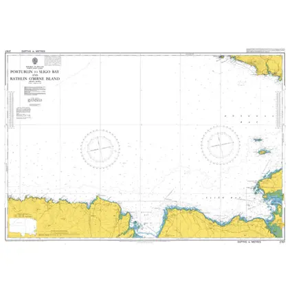
Nautical Chart 2767 Porturlin to Sligo Bay
Price DKK 525.31
Out of stock
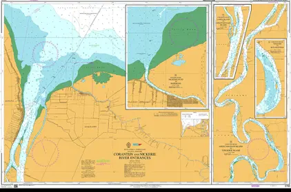
Nautical Chart 2766 Corantijn-Nickerie River
Price DKK 525.31
Out of stock
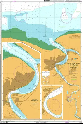
Nautical Chart 2765 Suriname Rivier - Entrance to Toevlucht
Price DKK 525.31
Out of stock
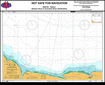
Nautical Chart 2764 Berbice River to Suriname River
Price DKK 525.31
Out of stock
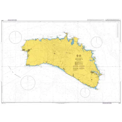
Nautical Chart 2761 Islas Baleares, Menorca
Price DKK 525.31
Out of stock
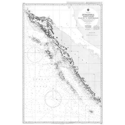
Nautical Chart 2760 Sumatra West coast
Price DKK 525.31
Out of stock
Nautical Chart 2756 Passe des Iles Choazil
Price DKK 525.31
Out of stock
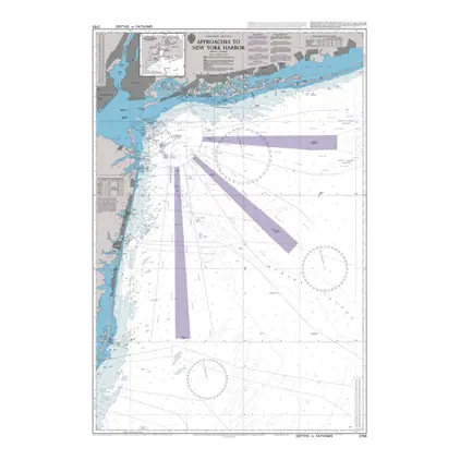
Nautical Chart 2755 New York Harbour & appr.
Price DKK 525.31
Out of stock
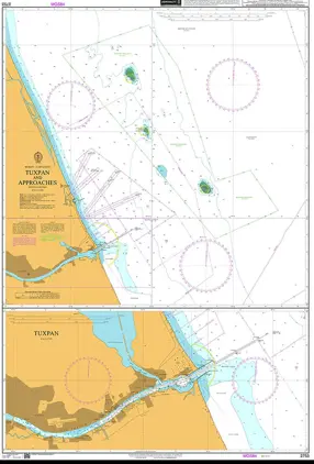
Nautical Chart 2753 Tuxpan and Approache
Price DKK 525.31
Out of stock
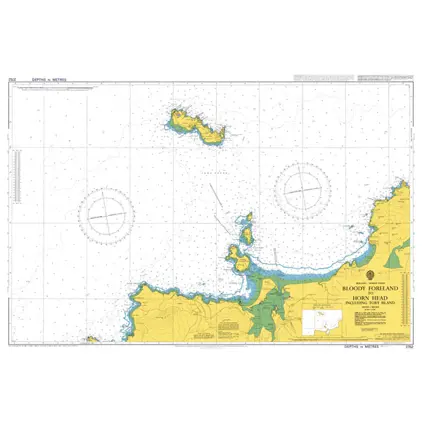
Nautical Chart 2752 Bloody foreland-Horn
Price DKK 525.31
Out of stock
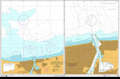
Nautical Chart 2751 App to Coatzacoalcos
Price DKK 525.31
Out of stock
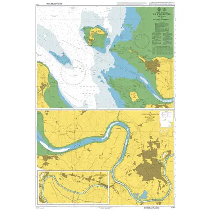
Nautical Chart 2747 Ile d'Aix/Tonnay-Charente
Price DKK 525.31
Out of stock
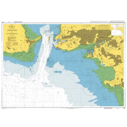
Nautical Chart 2743 App.to La Rochelle
Price DKK 525.31
Out of stock
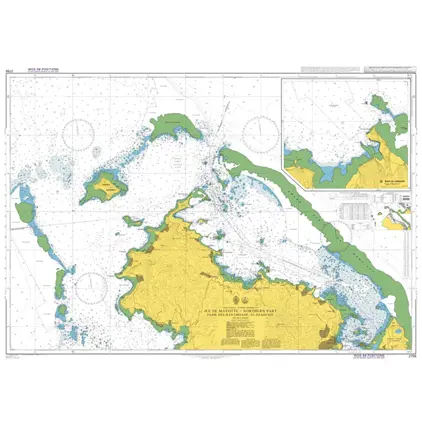
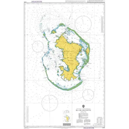
Nautical Chart 2741 Ile Mayotte
Price DKK 525.31
Out of stock
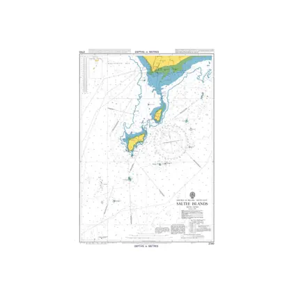
Nautical Chart 2740 Saltee islands
Price DKK 525.31
Out of stock
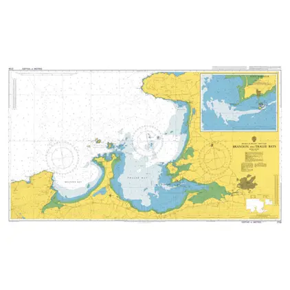
Nautical Chart 2739 Brandon and Tralee Bays
Price DKK 525.31
Out of stock
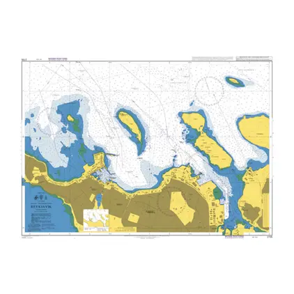
Nautical Chart 2735 Iceland- s.w.c. Reykjavik
Price DKK 525.31
Out of stock
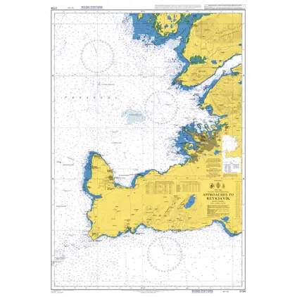
Nautical Chart 2734 Iceland, App. to Reykjavik
Price DKK 525.31
Out of stock
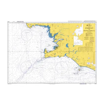
Nautical Chart 2733 Dyrholaey-Snæfellsjokull
Price DKK 525.31
Out of stock
Previous
1
...
111
112
113
114
115
...
189
Next
View on map
Close
Close