UKHO Charts
Browse our selection of detailed sea charts from the United Kingdom Hydrographic Office.
2221-2240
of
3765
products
Select an option
Country not found
List is empty.
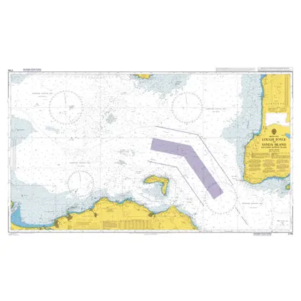
Nautical Chart 2798 Lough Foyle-Sanda Island
Price DKK 525.31
Out of stock
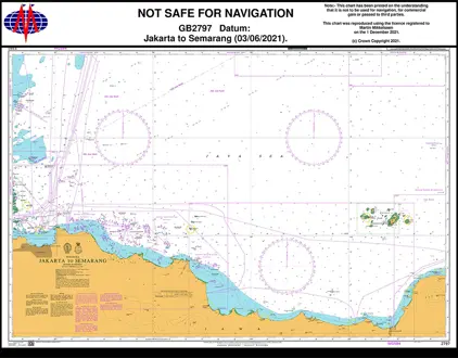
Nautical Chart 2797 Jakarta to Semarang
Price DKK 525.31
Out of stock
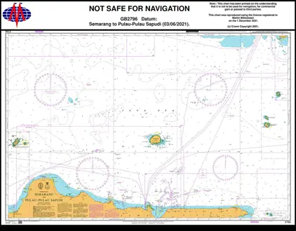
Nautical Chart 2796 Semrang / Pulau-Pulau Sapudi
Price DKK 525.31
Out of stock
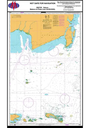
Nautical Chart 2795 Madura to Pulau Laut
Price DKK 525.31
Out of stock
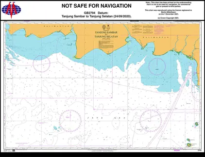
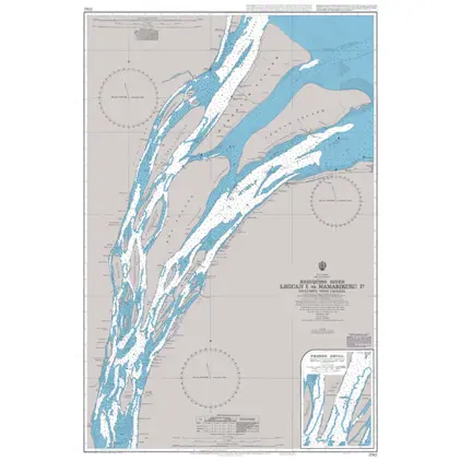
Nautical Chart 2794 Tanjung Sambar/Selatan
Price DKK 525.31
Out of stock
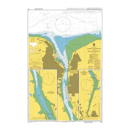
Nautical Chart 2793 Cowes Hbr. & River Medina
Price DKK 525.31
Out of stock
Nautical Chart 2792 Plans NW coast Ireland
Price DKK 525.31
Out of stock
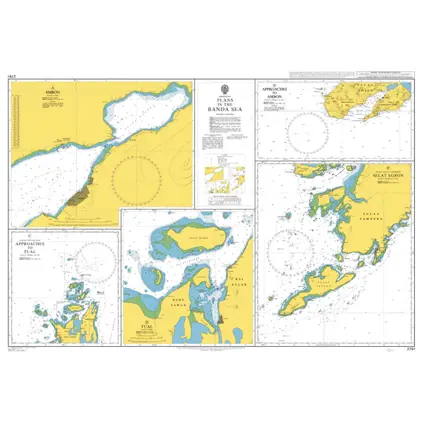
Nautical Chart 2791 Indonesia,Banda Sea: plans
Price DKK 525.31
Out of stock
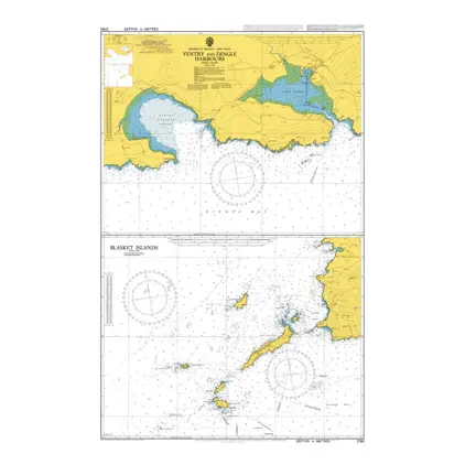
Nautical Chart 2790 Ventry and Dingle Harbours
Price DKK 525.31
Out of stock
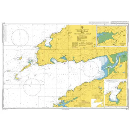
Nautical Chart 2789 Dingle Bay & Smerwick
Price DKK 525.31
Out of stock
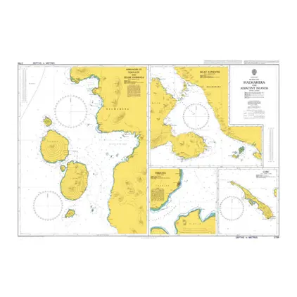
Nautical Chart 2786 Plans on Halmahera
Price DKK 525.31
Out of stock
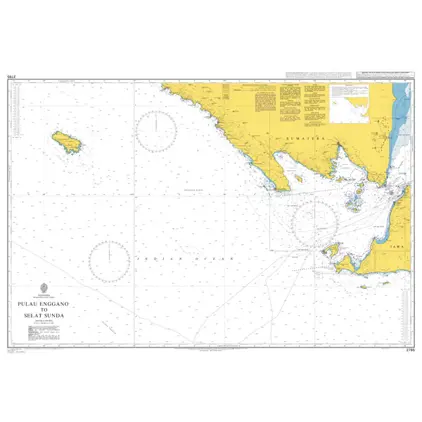
Nautical Chart 2785 Pulau Enggano
Price DKK 525.31
Out of stock
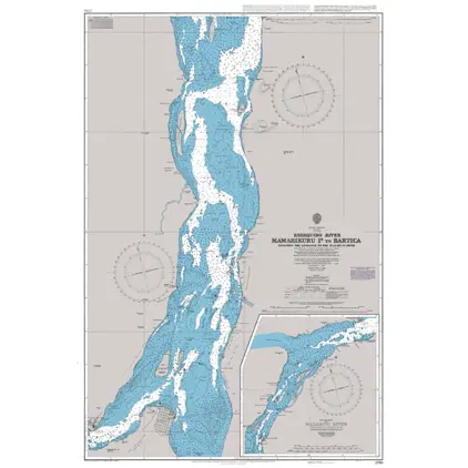
Nautical Chart 2784 Entr.to Berbice River
Price DKK 525.31
Out of stock
Nautical Chart 2783 Essequibo river, Gyuana
Price DKK 525.31
Out of stock
Nautical Chart 2782 Essequibo River, Guyana
Price DKK 525.31
Out of stock
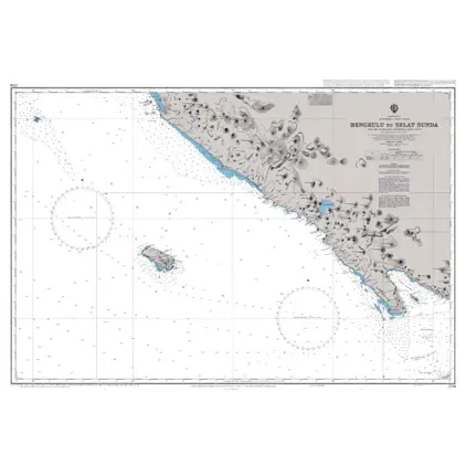
Nautical Chart 2781 Bengkulu to Selat Sunda
Price DKK 525.31
Out of stock
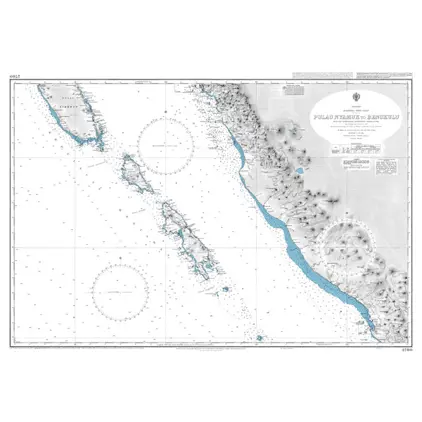
Nautical Chart 2780 Pulau Nyamuk-Bengkulu
Price DKK 525.31
Out of stock
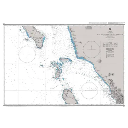
Nautical Chart 2779 Pulau Ilir-Puluu Nyam
Price DKK 525.31
Out of stock
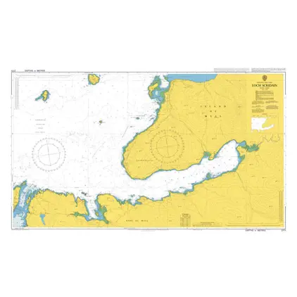
Nautical Chart 2771 Loch Scridain
Price DKK 525.31
Out of stock
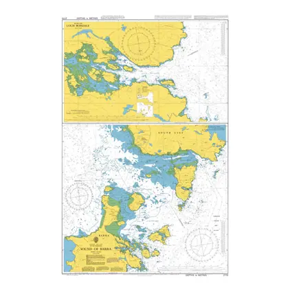
Nautical Chart 2770 Sound of Barra
Price DKK 525.31
Out of stock
Previous
1
...
110
111
112
113
114
...
189
Next
Close