UKHO Charts
Browse our selection of detailed sea charts from the United Kingdom Hydrographic Office.
View on map
2281-2300
of
3765
products
Select an option
Country not found
List is empty.
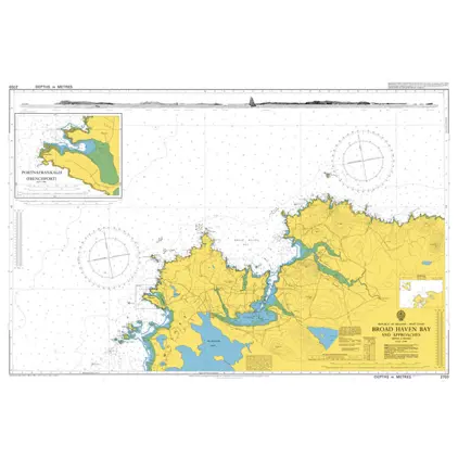
Nautical Chart 2703 Broad Haven Bay + App
Price DKK 525.31
Out of stock
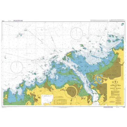
Nautical Chart 2700 Approaches to Saint-Malo
Price DKK 525.31
Out of stock
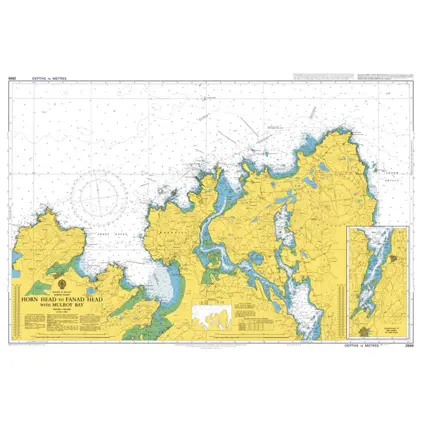
Nautical Chart 2699 Horn Head to Fanad Head
Price DKK 525.31
Out of stock
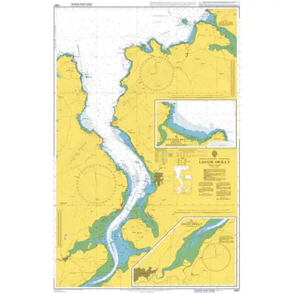
Nautical Chart 2697 Lough Swilly
Price DKK 525.31
Out of stock
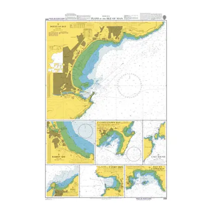
Nautical Chart 2696 Plans in the Isle of Man
Price DKK 525.31
Out of stock
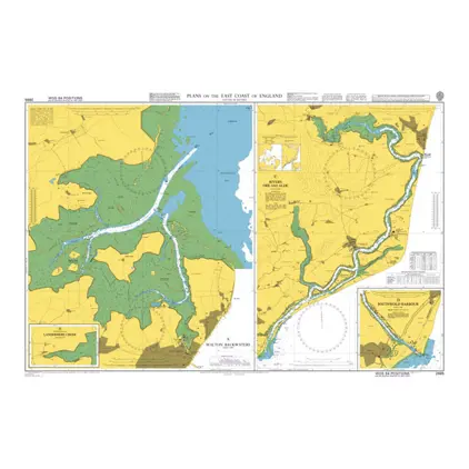
Nautical Chart 2695 England: east coast, plans
Price DKK 525.31
Out of stock
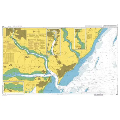
Nautical Chart 2693 App. to Felixstowe, Harwich and Ipswich with the Rivers Stour
Price DKK 525.31
Out of stock
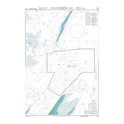
Nautical Chart 2692 Sunk Precautionary
Price DKK 525.31
Out of stock
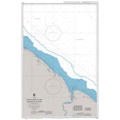
Nautical Chart 2687 App.to the Berbice River
Price DKK 525.31
Out of stock
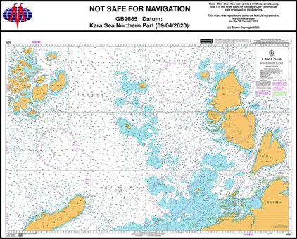
Nautical Chart 2685 Kara Sea, North Part
Price DKK 525.31
Out of stock
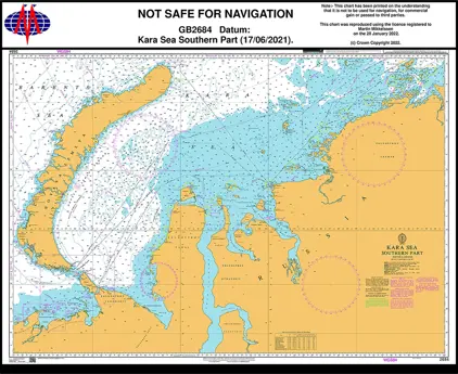
Nautical Chart 2684 Kara Sea, South Part
Price DKK 525.31
Out of stock
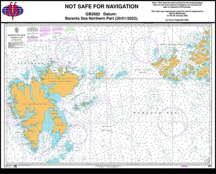
Nautical Chart 2682 Barents Sea, North Part
Price DKK 525.31
Out of stock
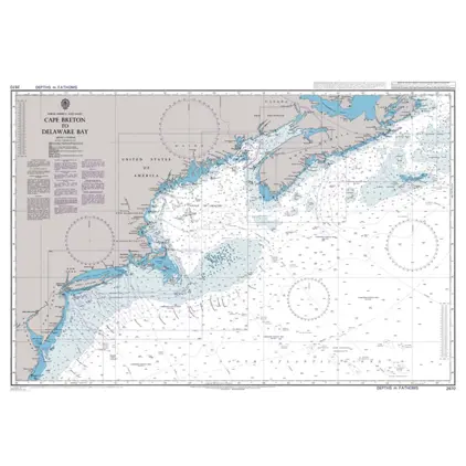
Nautical Chart 2670 Cape Breton/Delaware
Price DKK 525.31
Out of stock
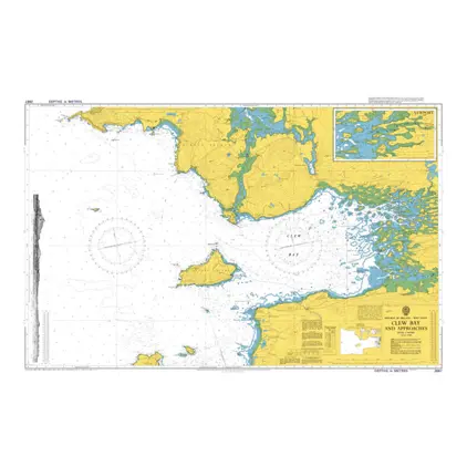
Nautical Chart 2667 Clew Bay and Approach
Price DKK 525.31
Out of stock
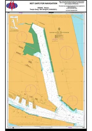
Nautical Chart 2665 Tianjin Gang/Bei Gang
Price DKK 525.31
Out of stock
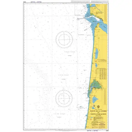
Nautical Chart 2664 Pointe d'Arcachon
Price DKK 525.31
Out of stock
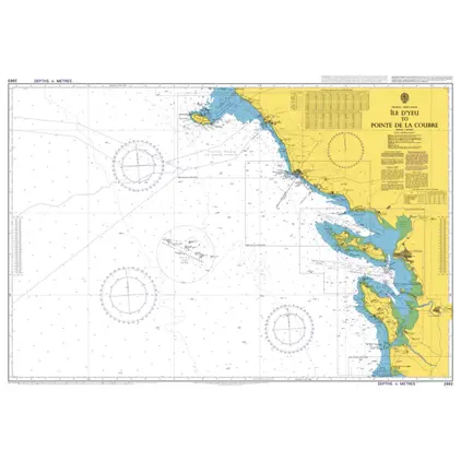
Nautical Chart 2663 Ile d'Yeu / Pointe Coubre
Price DKK 525.31
Out of stock
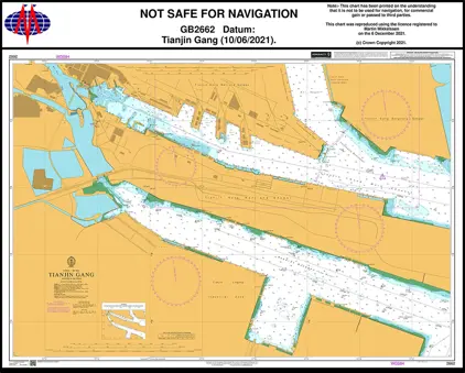
Nautical Chart 2662 Bo Hai - Tianjin Gang
Price DKK 525.31
Out of stock
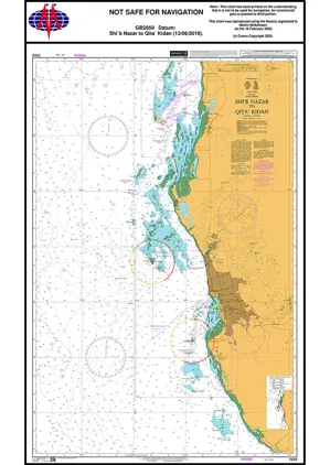
Nautical Chart 2659 Shi'b Nazar / Qita Kidan
Price DKK 525.31
Out of stock
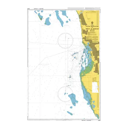
Nautical Chart 2658 Mina'al Jeddah, out. app
Price DKK 525.31
Out of stock
Previous
1
...
113
114
115
116
117
...
189
Next
View on map
Close
Close