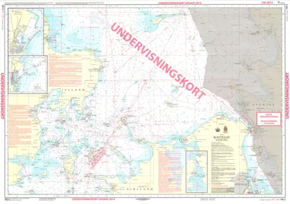
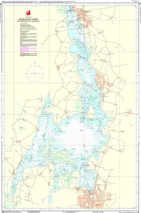
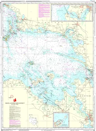
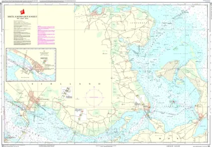
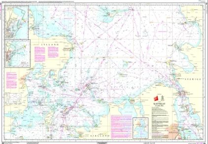
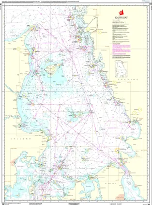
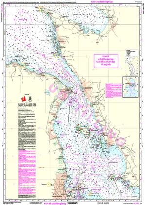
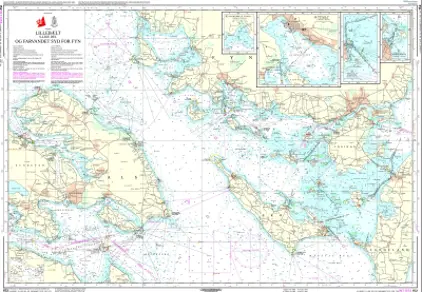
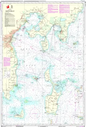
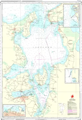
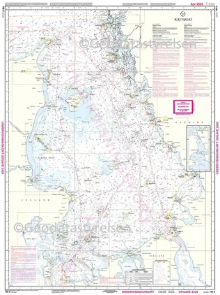
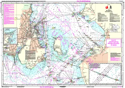
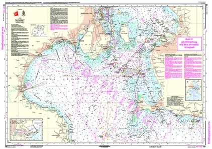
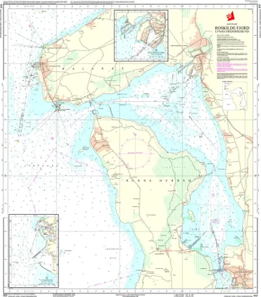
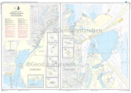
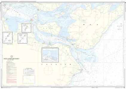
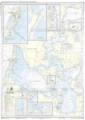
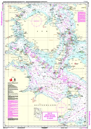
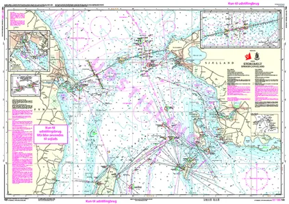
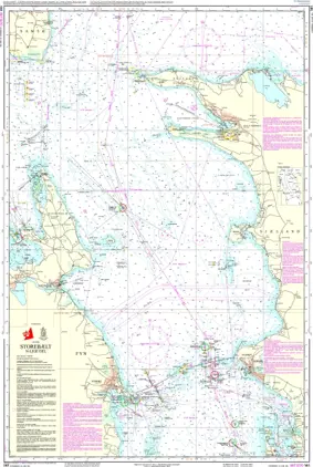
Geodatastyrelsen Charts

Geodatastyrelsen is a Danish public institution responsible for the management and dissemination of geospatial data and mapping in Denmark, including nautical charts. Geodatastyrelsen is maintaining up-to-date and reliable nautical charts for Danish waters.

The work on nautical charts involves the collection of data on the seabed, coastline, waterways, shipping lanes, lighthouses, and more, using methods such as hydrographic surveys, measurements, and satellite imagery.

This data is regularly updated to ensure the accuracy and reliability of the nautical charts. Geodatastyrelsen also collaborates with other maritime authorities, including the Danish Maritime Authority, to ensure that the nautical charts meet the necessary standards and requirements.

View on map
1-20 of 187 products
Select an option
  1. POD Nautical Chart 102U Kattegat - Southern Part (Educational)

    DKK 70.00
    Out of stock
  2. Nautical Chart 102 Kattegat Southern Part

    POD Søkort 102 Kattegat; Southern Part

    DKK 275.00
    Out of stock
  3. POD Nautical Chart 142 Storebælt Southern Part

    DKK 275.00
    Out of stock
  4. POD Nautical Chart 143 Storebælt; Sprogø - Langeland

    DKK 275.00
    Out of stock
  5. POD Nautical Chart 152 Lillebælt; Southern Part

    DKK 275.00
    Out of stock
  6. POD Nautical Chart 100U Kattegat (Educational)

    DKK 70.00
    Out of stock
  7. POD Nautical Chart 133 Sundet; Central Part

    DKK 275.00
    Out of stock
  8. POD Nautical Chart 112 Århus Bugt

    DKK 275.00
    Out of stock
  9. POD Nautical Chart 131 Sundet; Northern Part

    DKK 275.00
    Out of stock
  10. POD Nautical Chart 114 Farvandet Nord for Fyn

    DKK 275.00
    Out of stock
  11. DK112U Århus Bugt Undervisning

    DKK 71.25
    Out of stock
  12. POD Nautical Chart 151 Lillebælt; Northern Part

    DKK 275.00
    Out of stock
  13. POD Nautical Chart 101 Kattegat; Northern Part

    DKK 275.00
    Out of stock
  14. POD Nautical Chart 162 Smålandsfarvandet; Southeastern Part

    DKK 275.00
    Out of stock
  15. POD Nautical Chart 141 Storebælt; Northern Part

    DKK 275.00
    Out of stock
  16. POD Nautical Chart 117 Roskilde Fjord; Lynæs - Frederikssund

    DKK 275.00
    Out of stock
  17. POD Nautical Chart 171 Svendborg Sund

    DKK 275.00
    Out of stock
  18. POD Nautical Chart 160 Smålandsfarvandet; Western Part

    DKK 275.00
    Out of stock
  19. POD Nautical Chart 104 Østersøen; Femern Bælt - Sundet

    DKK 275.00
    Out of stock
  20. POD Nautical Chart 116 Isefjord

    DKK 275.00
    Out of stock
View on map
Close