Geodatastyrelsen Charts
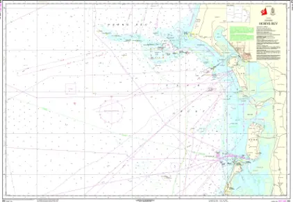
Geodatastyrelsen is a Danish public institution responsible for the management and dissemination of geospatial data and mapping in Denmark, including nautical charts. Geodatastyrelsen is maintaining up-to-date and reliable nautical charts for Danish waters.
The work on nautical charts involves the collection of data on the seabed, coastline, waterways, shipping lanes, lighthouses, and more, using methods such as hydrographic surveys, measurements, and satellite imagery.
This data is regularly updated to ensure the accuracy and reliability of the nautical charts. Geodatastyrelsen also collaborates with other maritime authorities, including the Danish Maritime Authority, to ensure that the nautical charts meet the necessary standards and requirements.
