North Sea W
The full range of ADMIRALTY nautical sea charts for the Western North Sea.
View on map
61-80
of
128
products
Select an option
Country not found
List is empty.
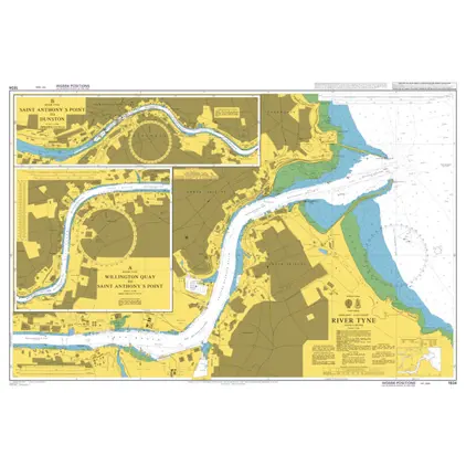
Nautical Chart 1934 England - East Coast, River Tyne.
Price DKK 525.31
Out of stock
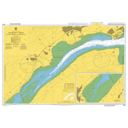
Nautical Chart 1890 Invergordon to Dingwa
Price DKK 525.31
Out of stock
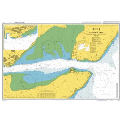
Nautical Chart 1889 Cromarty B./Invergord
Price DKK 525.31
Out of stock
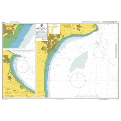
Nautical Chart 1882 Bridlington and Filey
Price DKK 525.31
Out of stock
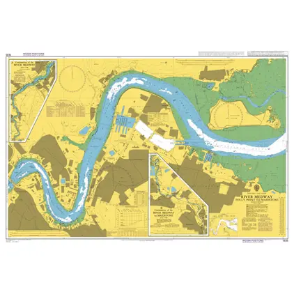
Nautical Chart 1835 River Medway, Folly Point
Price DKK 525.31
Out of stock
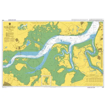
Nautical Chart 1834 River Medway, Garrison
Price DKK 525.31
Out of stock
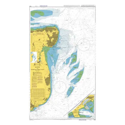
Nautical Chart 1828 Dover to North Forela
Price DKK 525.31
Out of stock
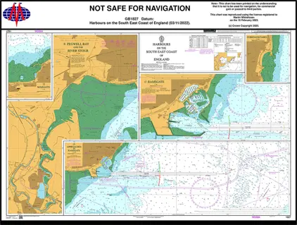
Nautical Chart 1827 Plans SE Coast England
Price DKK 525.31
Out of stock
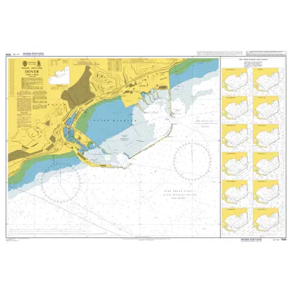
Nautical Chart 1698 Dover
Price DKK 525.31
Out of stock
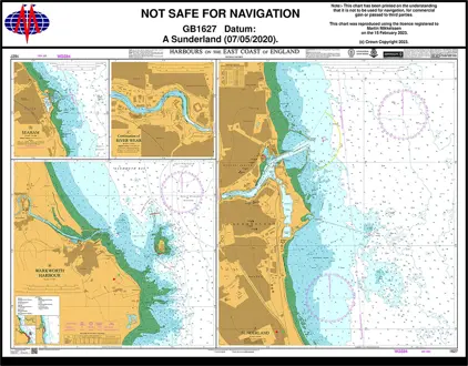
Nautical Chart 1627 Harbours on E-Coast England
Price DKK 525.31
Out of stock
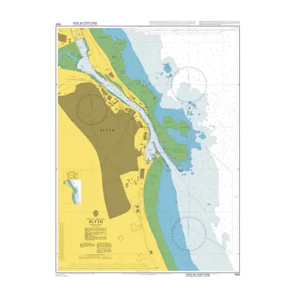
Nautical Chart 1626 Blyth
Price DKK 525.31
Out of stock
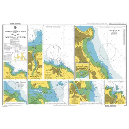
Nautical Chart 1612 Harbours and Anchorages on the East Coast of England and Scotland.
Price DKK 525.31
Out of stock
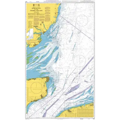
Nautical Chart 1610 App.to Thames Estuary
Price DKK 525.31
Out of stock
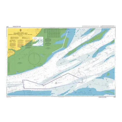
Nautical Chart 1609 Knock John Ch./Sea Reach
Price DKK 525.31
Out of stock
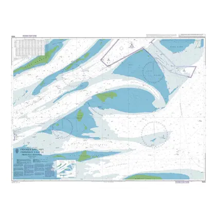
Nautical Chart 1606 Fisherman's Gat/Princ
Price DKK 525.31
Out of stock
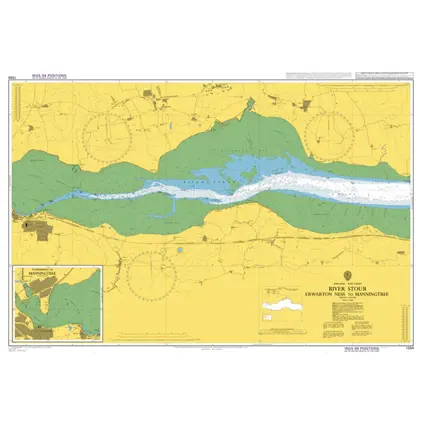
Nautical Chart 1594 Erwarton Ness-Manning
Price DKK 525.31
Out of stock
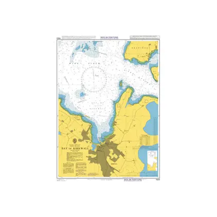
Nautical Chart 1553 Bay of Kirkwall
Price DKK 525.31
Out of stock
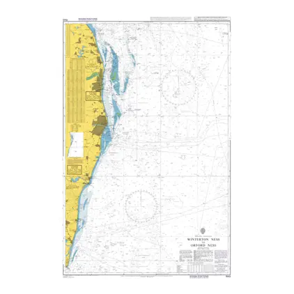
Nautical Chart 1543 Winterton Ness to Orford Ness.
Price DKK 525.31
Out of stock
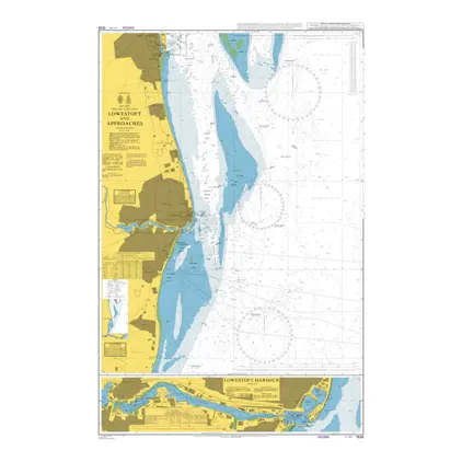
Nautical Chart 1535 Lowestoft & App
Price DKK 525.31
Out of stock
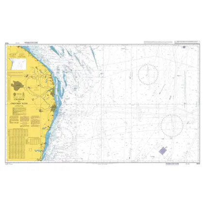
Nautical Chart 1504 Cromer to Orford Ness
Price DKK 525.31
Out of stock
Previous
1
2
3
4
5
6
7
Next
View on map
Close
Close