North Sea W
The full range of ADMIRALTY nautical sea charts for the Western North Sea.
View on map
21-40
of
128
products
Select an option
Country not found
List is empty.
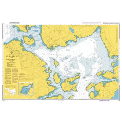
Nautical Chart 35 Scapa Flow and approaches
Price DKK 525.31
Out of stock
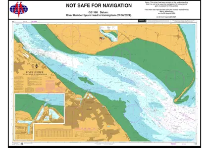
Nautical Chart 1188 Spurn Head to Immingham
Price DKK 525.31
Out of stock
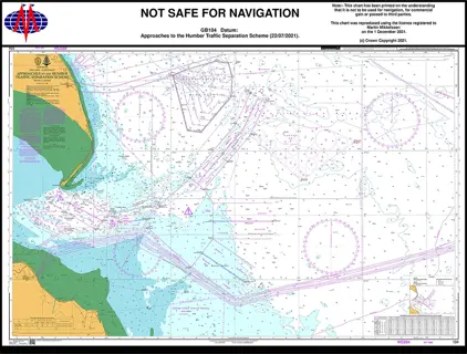
Nautical Chart 104 App Humber Traffic Separation Scheme.
Price DKK 525.31
Out of stock
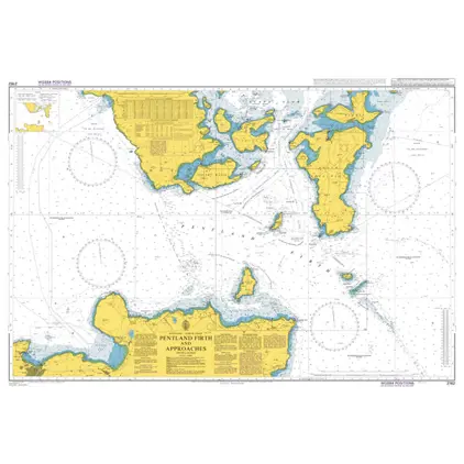
Nautical Chart 2162 Pentland Firth and Approaches.
Price DKK 525.31
Out of stock
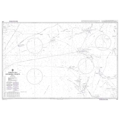
Nautical Chart 278 North Sea Offshore Charts Sheet 5.
Price DKK 525.31
Out of stock
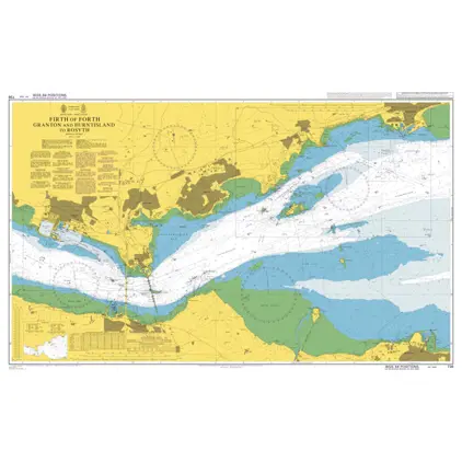
Nautical Chart 736 Granton and Burntisland to Rosyth
Price DKK 525.31
Out of stock
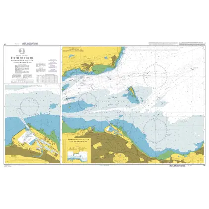
Nautical Chart 735 Firth of Forth app. to Leith and Burnt Island
Price DKK 525.31
Out of stock
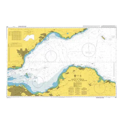
Nautical Chart 734 Firth of Forth Isle of May to Inchkeith
Price DKK 525.31
Out of stock
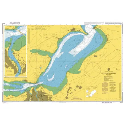
Nautical Chart 1078 Inverness Firth
Price DKK 525.31
Out of stock
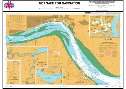
Nautical Chart 3497 Immingham/Humber Bridge
Price DKK 525.31
Out of stock
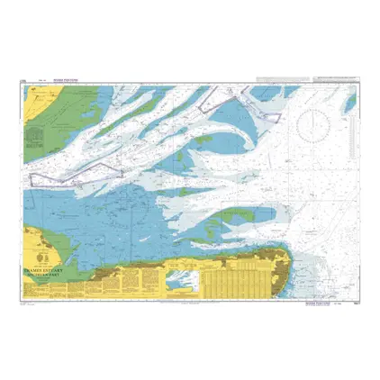
Nautical Chart 1607 Thames Estuary, southern
Price DKK 525.31
Out of stock
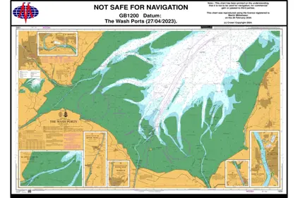
Nautical Chart 1200 The Wash Ports
Price DKK 525.31
Out of stock
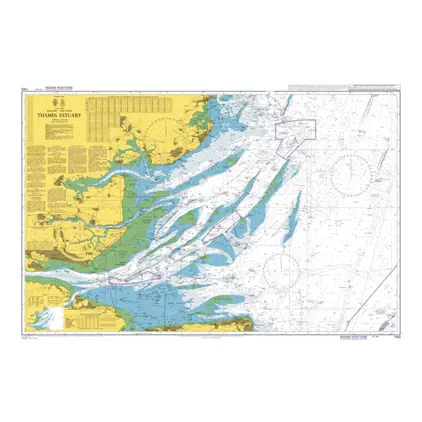
Nautical Chart 1183 Thames Estuary
Price DKK 525.31
Out of stock
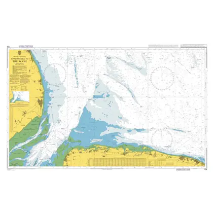
Nautical Chart 108 Approaches to the Wash
Price DKK 525.31
Out of stock
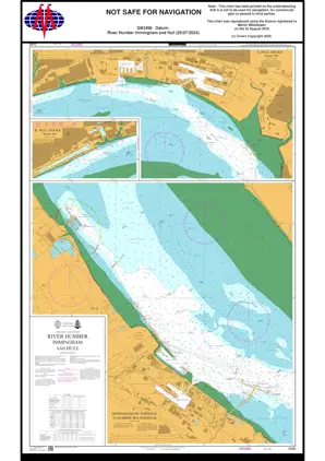
POD 3496 River Humber/Immingha
Price DKK 525.31
Out of stock
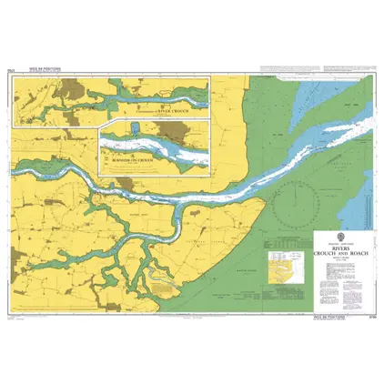
Nautical Chart 3750 Rivers Crouch and Roach
Price DKK 525.31
Out of stock
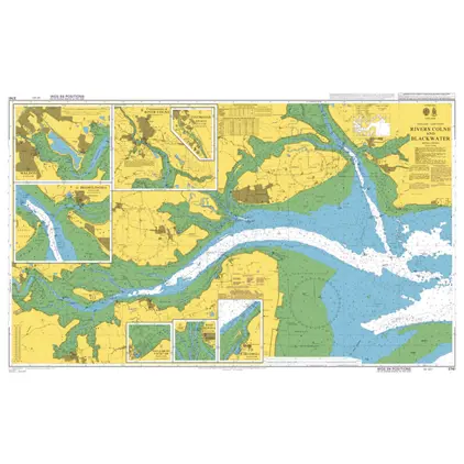
Nautical Chart 3741 Rivers Coln. & Blackwa
Price DKK 525.31
Out of stock
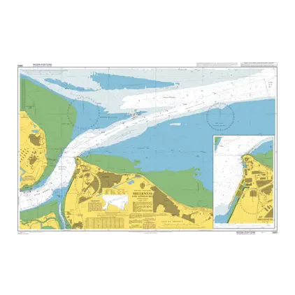
Nautical Chart 3683 Sheerness and approaches
Price DKK 525.31
Out of stock
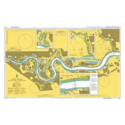
Nautical Chart 3337 River Thames, Margaret Ness
Price DKK 525.31
Out of stock
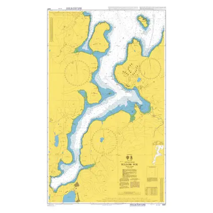
Nautical Chart 3297 Shetland Island Sullom Voe
Price DKK 525.31
Out of stock
Previous
1
2
3
4
...
7
Next
View on map
Close
Close