North Sea W
The full range of ADMIRALTY nautical sea charts for the Western North Sea.
View on map
41-60
of
128
products
Select an option
Country not found
List is empty.
Nautical Chart 3294 Shetland Island: Hbr. Mainland
Price DKK 525.31
Out of stock
Nautical Chart 3292 East.app.to Yell Sound
Price DKK 525.31
Out of stock
Nautical Chart 3284 Moul of Eswick to Lunna Holm
Price DKK 525.31
Out of stock
Nautical Chart 2695 England: east coast, plans
Price DKK 525.31
Out of stock
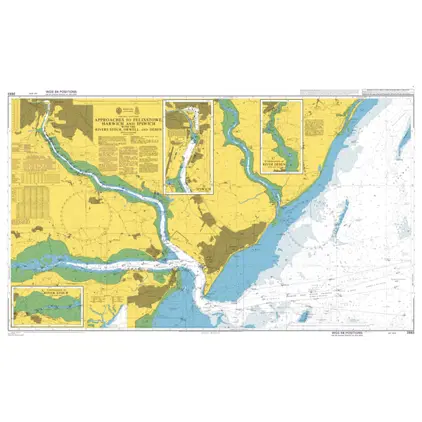
Nautical Chart 2693 App. to Felixstowe, Harwich and Ipswich with the Rivers Stour
Price DKK 525.31
Out of stock
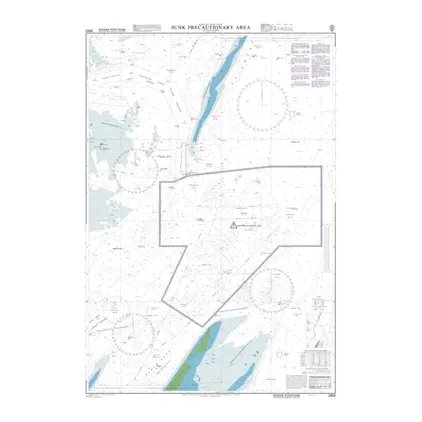
Nautical Chart 2692 Sunk Precautionary
Price DKK 525.31
Out of stock
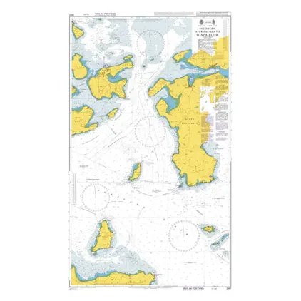
Nautical Chart 2581 South App.to Scapa Flow
Price DKK 525.31
Out of stock
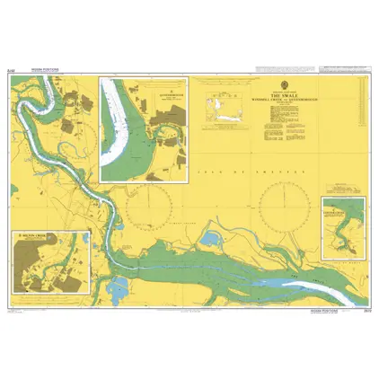
Nautical Chart 2572 The Swale,Windmill Creek
Price DKK 525.31
Out of stock
Nautical Chart 2571 Whitstable / Harty Ferry
Price DKK 525.31
Out of stock
Nautical Chart 2568 Harbours in Orkney Island
Price DKK 525.31
Out of stock
Nautical Chart 2567 Approaches to Tees Bay
Price DKK 525.31
Out of stock
Nautical Chart 2566 Tees and Hartlepool Bays
Price DKK 525.31
Out of stock
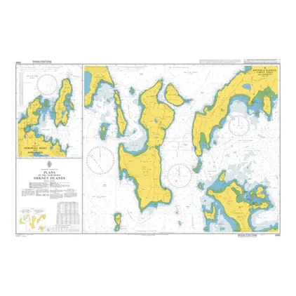
Nautical Chart 2562 Plans, N. Orkney Island
Price DKK 525.31
Out of stock
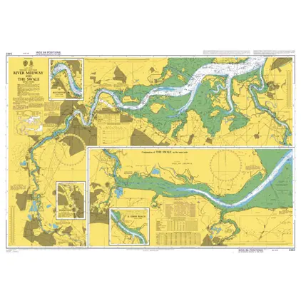
Nautical Chart 2482 River Medway & The Swale
Price DKK 525.31
Out of stock
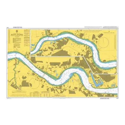
Nautical Chart 2151 Tilbury to Margaret Ness
Price DKK 525.31
Out of stock
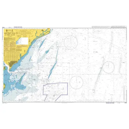
Nautical Chart 2052 Orford Ness to The Naze
Price DKK 525.31
Out of stock
Nautical Chart 1975 Thames Estuary - Northern Part
Price DKK 525.31
Out of stock
Nautical Chart 1954 Cape Wrath to Pentland Firth
Price DKK 525.31
Out of stock
Nautical Chart 1942 Fair Isle to Wick
Price DKK 525.31
Out of stock
Nautical Chart 1935 App. to Blyth, the River Tyne and Sunderland.
Price DKK 525.31
Out of stock
Previous
1
2
3
4
5
...
7
Next
View on map
Close
Close