Europe W
The full range of ADMIRALTY nautical sea charts for Western Europe.
View on map
101-120
of
203
products
Select an option
Country not found
List is empty.
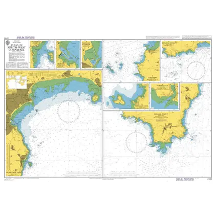
Nautical Chart 2345 Plans in s-w Cornwall
Price DKK 525.31
Out of stock
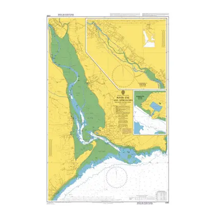
Nautical Chart 2290 River Exe and approaches
Price DKK 525.31
Out of stock
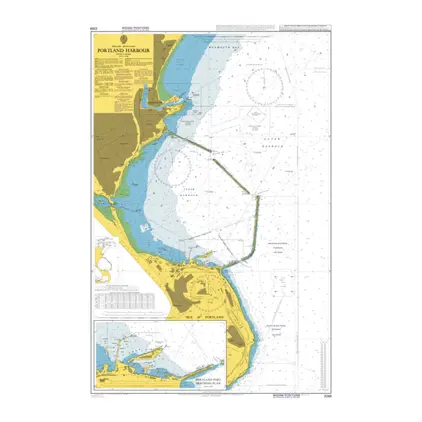
Nautical Chart 2268 Portland Harbour
Price DKK 525.31
Out of stock
Nautical Chart 2255 App.to Portland & Weymouth
Price DKK 525.31
Out of stock
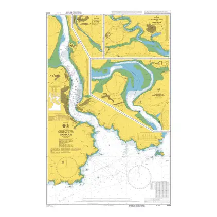
Nautical Chart 2253 Dartmouth Harbour
Price DKK 525.31
Out of stock
Nautical Chart 2175 Poole Bay
Price DKK 525.31
Out of stock
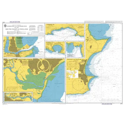
Nautical Chart 2172 S. Coast England Harbours and Anchorages
Price DKK 525.31
Out of stock
Nautical Chart 2154 Newhaven Harbour
Price DKK 525.31
Out of stock
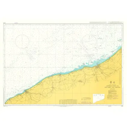
Nautical Chart 2148 App to Fecamp & Dieppe
Price DKK 525.31
Out of stock
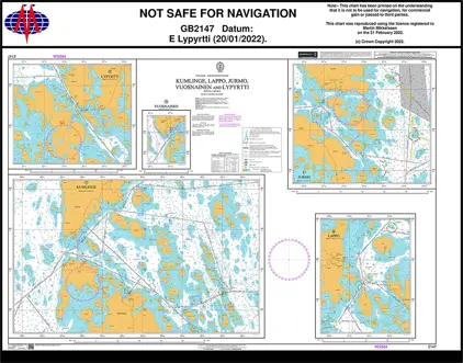
Nautical Chart 2147 Kumlinge, Lappo, Jurmo, Vuosnainen & Lypyrtti
Price DKK 525.31
Out of stock
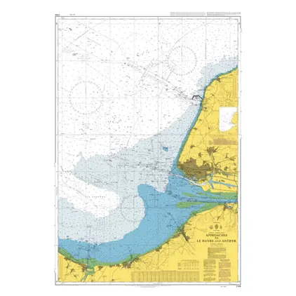
Nautical Chart 2146 Approaches to Le Havre
Price DKK 525.31
Out of stock
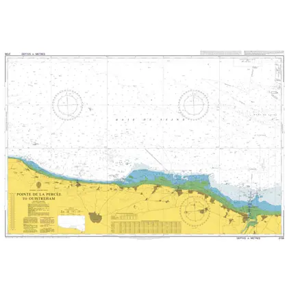
Nautical Chart 2136 Pt.Percee to Ouistreham
Price DKK 525.31
Out of stock
Nautical Chart 2135 Pointe de Barfleur
Price DKK 525.31
Out of stock
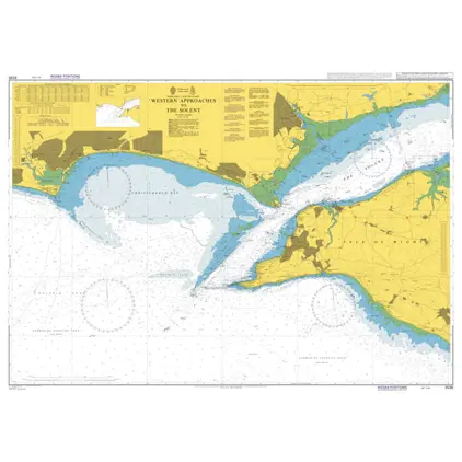
Nautical Chart 2045 Outer app to the Solent
Price DKK 525.31
Out of stock
Nautical Chart 2044 Shoreham Harbour & Appr.
Price DKK 525.31
Out of stock
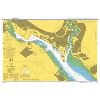
Nautical Chart 2041 Port of Southampton
Price DKK 525.31
Out of stock
Nautical Chart 2038 Southhampton & Approa
Price DKK 525.31
Out of stock
Nautical Chart 2037 East.app.to The Solent
Price DKK 525.31
Out of stock
Nautical Chart 2035 West.app.to The Solent
Price DKK 525.31
Out of stock
Nautical Chart 2029 Ile de Brehat to Cap Frehal
Price DKK 525.31
Out of stock
Previous
1
...
4
5
6
7
8
...
11
Next
View on map
Close
Close