Europe W
The full range of ADMIRALTY nautical sea charts for Western Europe.
View on map
61-80
of
203
products
Select an option
Country not found
List is empty.
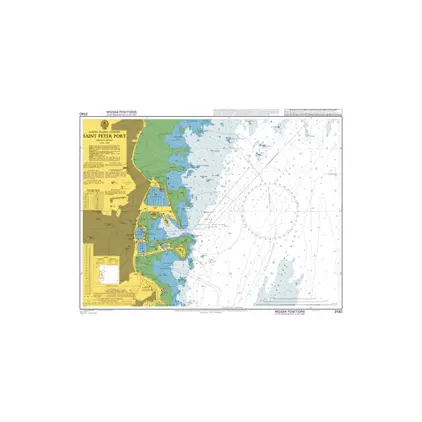
Nautical Chart 3140 St. Peter Port, Guernsey
Price DKK 525.31
Out of stock
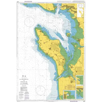
Nautical Chart 3000 La Rochelle
Price DKK 525.31
Out of stock
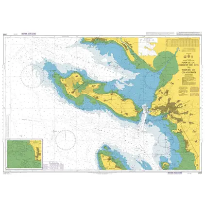
Nautical Chart 2999 Pointe de Grouin du Cou
Price DKK 525.31
Out of stock
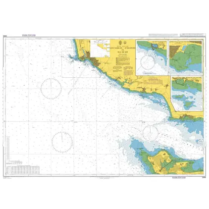
Nautical Chart 2998 D'Olonne to Ile de Re
Price DKK 525.31
Out of stock
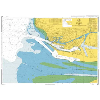
Nautical Chart 2990 Le Havre & Chenal Rouen
Price DKK 525.31
Out of stock
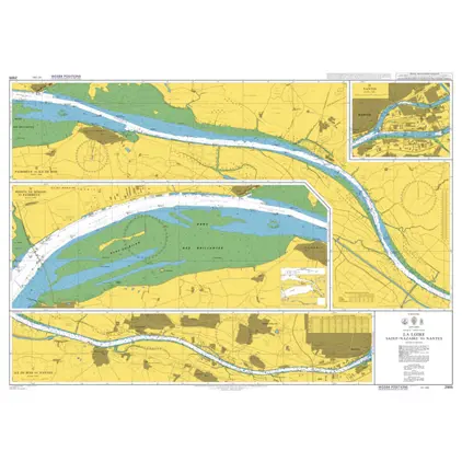
Nautical Chart 2989 Entrance to La Loire
Price DKK 525.31
Out of stock
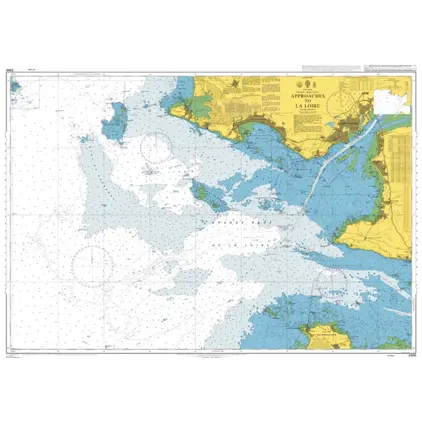
Nautical Chart 2986 Approaches to La Loire
Price DKK 525.31
Out of stock
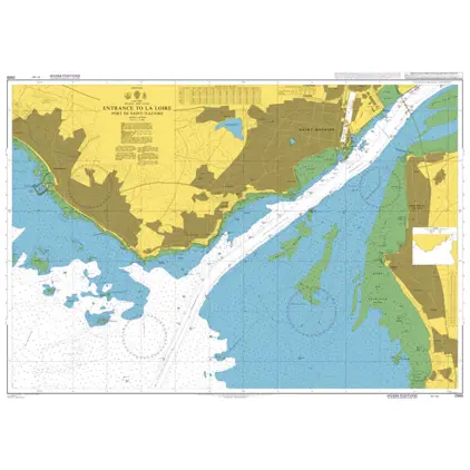
Nautical Chart 2985 La Loire, Saint-Nazai
Price DKK 525.31
Out of stock
Nautical Chart 2980 Huerto Del Rincon to Sevilla
Price DKK 525.31
Out of stock
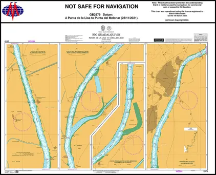
Nautical Chart 2979 La Lisa/La Atravesada
Price DKK 525.31
Out of stock
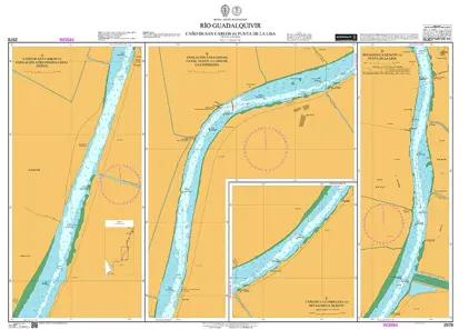
Nautical Chart 2978 Carlos to Punta de la Lisa
Price DKK 525.31
Out of stock
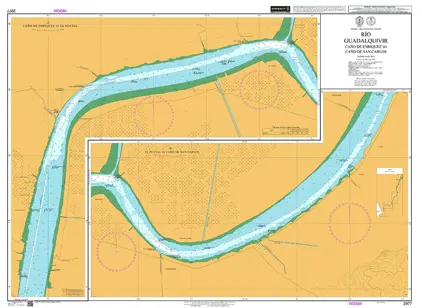
Nautical Chart 2977 Teresa/Cano De San Cano
Price DKK 525.31
Out of stock
Nautical Chart 2879 Le Havre to Rouen
Price DKK 525.31
Out of stock
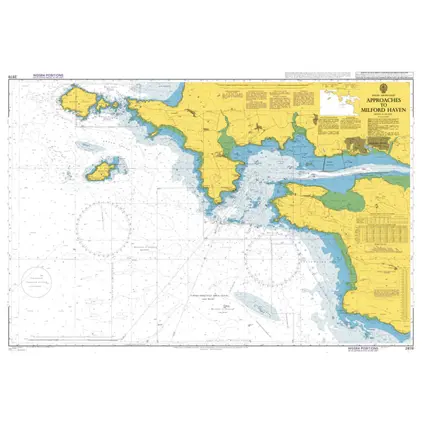
Nautical Chart 2878 Appr.to Milford Haven
Price DKK 525.31
Out of stock
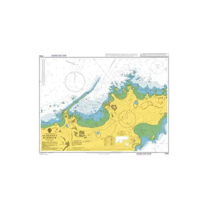
Nautical Chart 2845 Alderney harbour
Price DKK 525.31
Out of stock
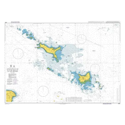
Nautical Chart 2835 Approaches to the Iles de Houat and de Hoedic
Price DKK 525.31
Out of stock
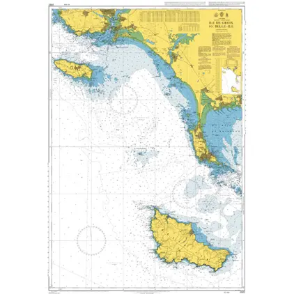
Nautical Chart 2822 Ile de Groix to Belle-Ile.
Price DKK 525.31
Out of stock
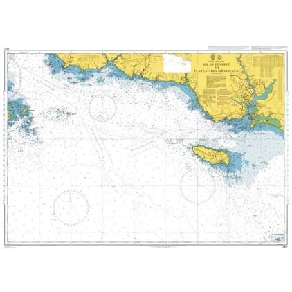
Nautical Chart 2821 Ile de Penfret
Price DKK 525.31
Out of stock
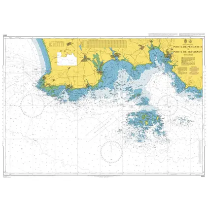
Nautical Chart 2820 Pointe de Penmarc'h
Price DKK 525.31
Out of stock
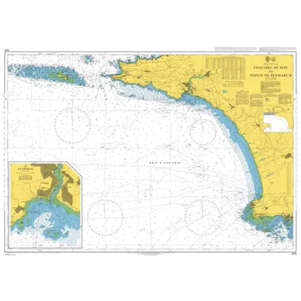
Nautical Chart 2819 Chaussee de Sein
Price DKK 525.31
Out of stock
Previous
1
2
3
4
5
6
...
11
Next
View on map
Close
Close