Europe W
The full range of ADMIRALTY nautical sea charts for Western Europe.
View on map
121-140
of
203
products
Select an option
Country not found
List is empty.
Nautical Chart 2028 Ile de Brehat to Plateau des Roches Douvres.
Price DKK 525.31
Out of stock
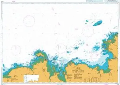
Nautical Chart 2026 Anse Kernic to ile Grande
Price DKK 525.31
Out of stock
Nautical Chart 2025 Portsall to Anse de Kernic
Price DKK 525.31
Out of stock
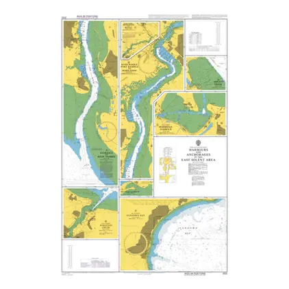
Nautical Chart 2022 East Solent Area: Hb.& Anch.
Price DKK 525.31
Out of stock
Nautical Chart 2021 West Solent area: Harbours and Anch.
Price DKK 525.31
Out of stock
Nautical Chart 1991 England: Hbr.on South Coast
Price DKK 525.31
Out of stock
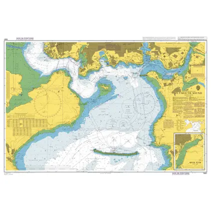
Nautical Chart 1967 Plymouth Sound
Price DKK 525.31
Out of stock
Nautical Chart 1902 Hamoaze
Price DKK 525.31
Out of stock
Nautical Chart 1901 Smeaton Pass and Narrows
Price DKK 525.31
Out of stock
Nautical Chart 1900 Whitsand Bay & Yealm Hd. incl. Plymouth Sound.
Price DKK 525.31
Out of stock
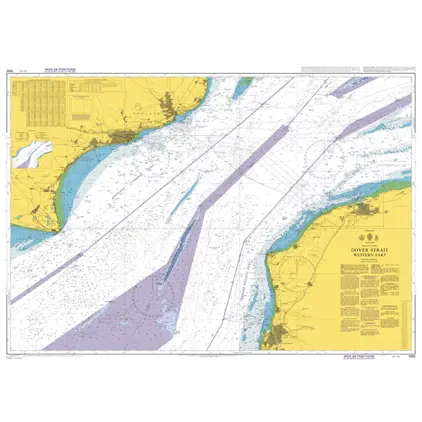
Nautical Chart 1892 Dover Strait,west par
Price DKK 525.31
Out of stock
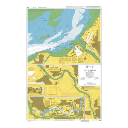
Nautical Chart 1859 Port of Bristol
Price DKK 525.31
Out of stock
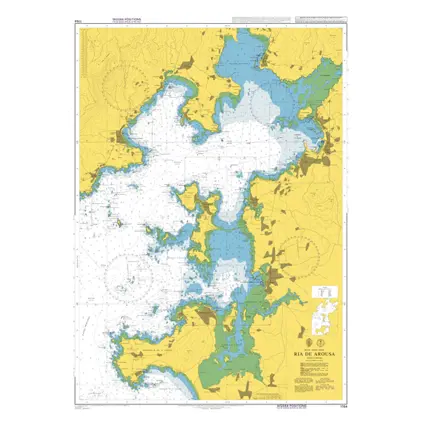
Nautical Chart 1764 Ria de Arosa
Price DKK 525.31
Out of stock
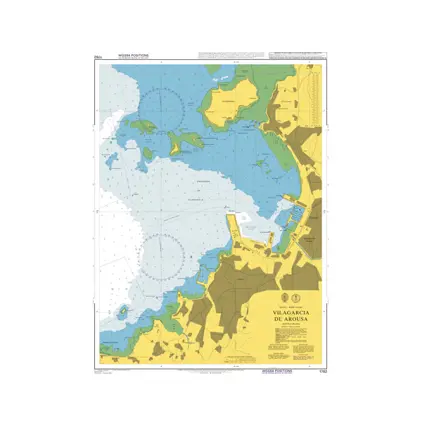
Nautical Chart 1762 Villagarcia de Arousa
Price DKK 525.31
Out of stock
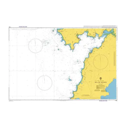
Nautical Chart 1756 Ria de Muros
Price DKK 525.31
Out of stock
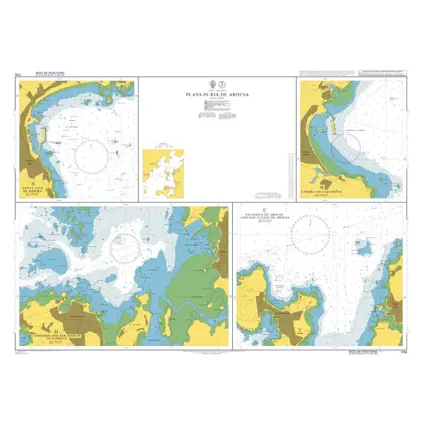
Nautical Chart 1755 Ria de Arousa: plans
Price DKK 525.31
Out of stock
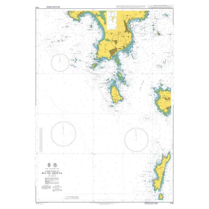
Nautical Chart 1734 App. to Ria de Arosa
Price DKK 525.31
Out of stock
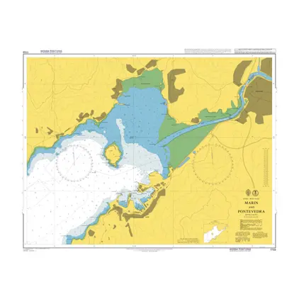
Nautical Chart 1733 Marin and Pontevedra
Price DKK 525.31
Out of stock
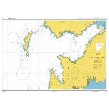
Nautical Chart 1732 Ria de Pontevedra
Price DKK 525.31
Out of stock
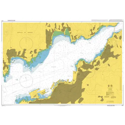
Nautical Chart 1731 Vigo
Price DKK 525.31
Out of stock
Previous
1
...
5
6
7
8
9
...
11
Next
View on map
Close
Close