Ireland
ADMIRALTY nautical sea charts for Ireland.
View on map
61-80
of
112
products
Select an option
Country not found
List is empty.
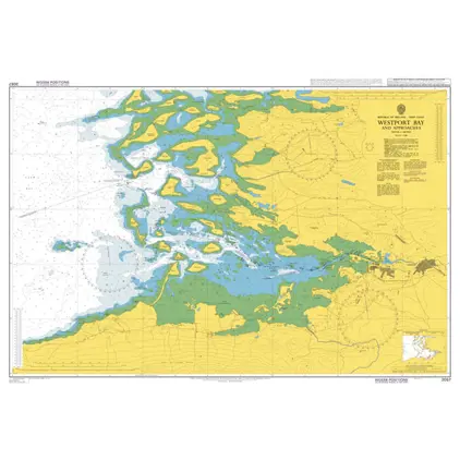
Nautical Chart 2057 Westport Bay and app.
Price DKK 525.31
Out of stock
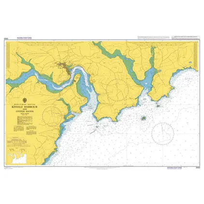
Nautical Chart 2053 Kinsale Hb. & Oyster Haven
Price DKK 525.31
Out of stock
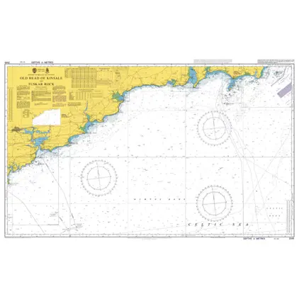
Nautical Chart 2049 Old Head of Kinsale
Price DKK 525.31
Out of stock
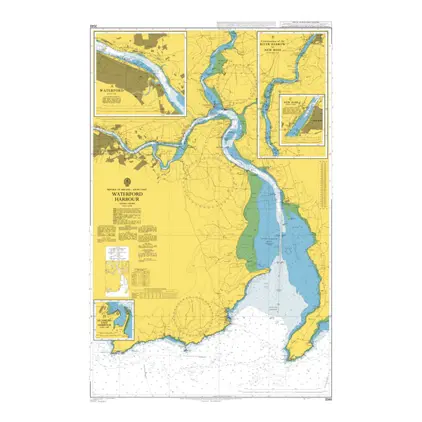
Nautical Chart 2046 Waterford Harbour
Price DKK 525.31
Out of stock
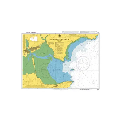
Nautical Chart 2017 Dungarvan Harbour
Price DKK 525.31
Out of stock
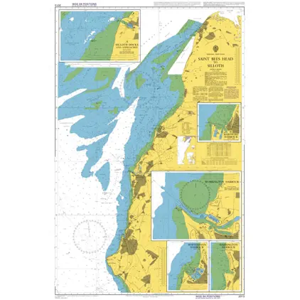
Nautical Chart 2013 Saint Bees Head to Silloth
Price DKK 525.31
Out of stock
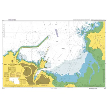
Nautical Chart 2011 Holyhead Harbour
Price DKK 525.31
Out of stock
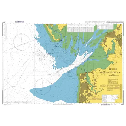
Nautical Chart 2010 Morecambe Bay and app
Price DKK 525.31
Out of stock
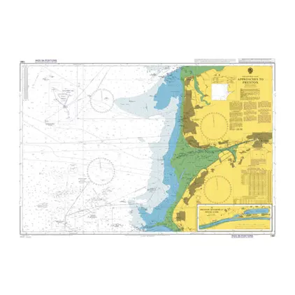
Nautical Chart 1981 Approaches to Preston
Price DKK 525.31
Out of stock
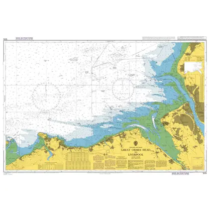
Nautical Chart 1978 Great Ormes Head to Liverpool
Price DKK 525.31
Out of stock
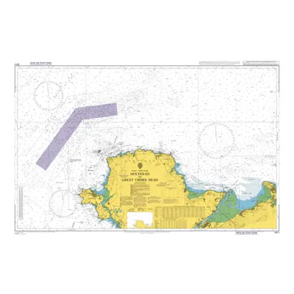
Nautical Chart 1977 Holyhead to Great Ormes Head
Price DKK 525.31
Out of stock
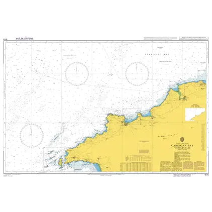
Nautical Chart 1973 Cardigan Bay-south part
Price DKK 525.31
Out of stock
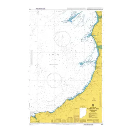
Nautical Chart 1972 Cardigan Bay-centr. part
Price DKK 525.31
Out of stock
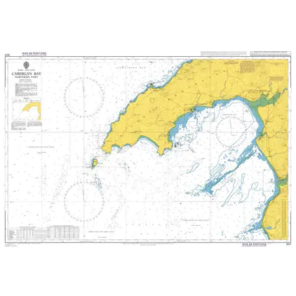
Nautical Chart 1971 Cardigan Bay-north part
Price DKK 525.31
Out of stock
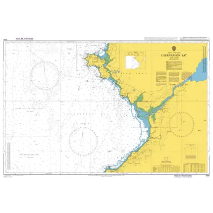
Nautical Chart 1970 Caernarfon Bay
Price DKK 525.31
Out of stock
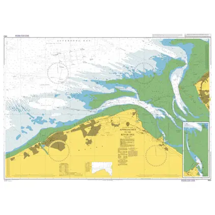
Nautical Chart 1953 Approaches to River Dee
Price DKK 525.31
Out of stock
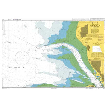
Nautical Chart 1951 Approaches Liverpool
Price DKK 525.31
Out of stock
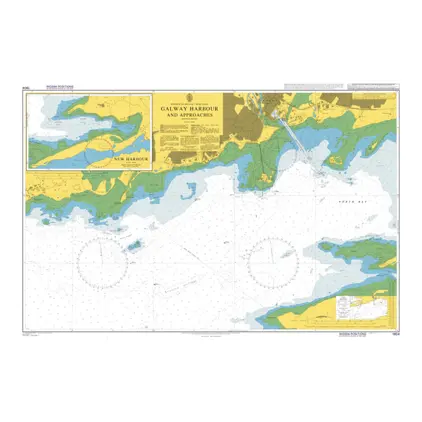
Nautical Chart 1904 Galway Harbour & Appr
Price DKK 525.31
Out of stock
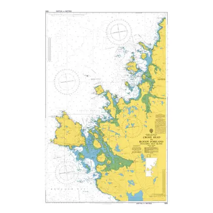
Nautical Chart 1883 Crohy Hd/Bloody Foreland
Price DKK 525.31
Out of stock
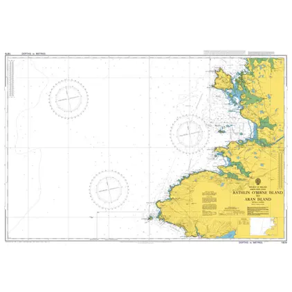
Nautical Chart 1879 Rathlin O'Birne Islan
Price DKK 525.31
Out of stock
Previous
1
2
3
4
5
6
Next
View on map
Close
Close