Ireland
ADMIRALTY nautical sea charts for Ireland.
View on map
21-40
of
112
products
Select an option
Country not found
List is empty.
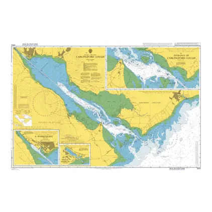
Nautical Chart 2800 Carlingford Lough
Price DKK 525.31
Out of stock
Nautical Chart 2792 Plans NW coast Ireland
Price DKK 525.31
Out of stock
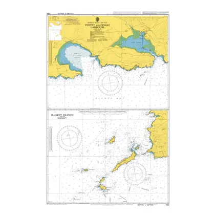
Nautical Chart 2790 Ventry and Dingle Harbours
Price DKK 525.31
Out of stock
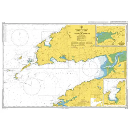
Nautical Chart 2789 Dingle Bay & Smerwick
Price DKK 525.31
Out of stock
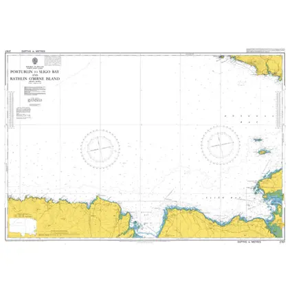
Nautical Chart 2767 Porturlin to Sligo Bay
Price DKK 525.31
Out of stock
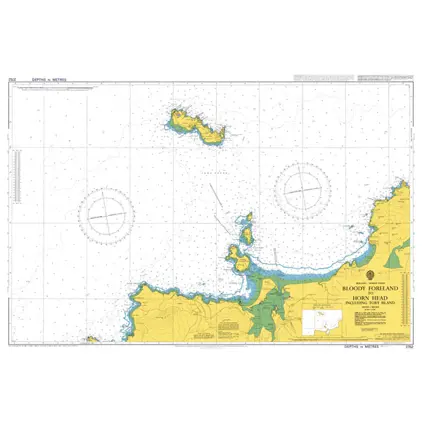
Nautical Chart 2752 Bloody foreland-Horn
Price DKK 525.31
Out of stock
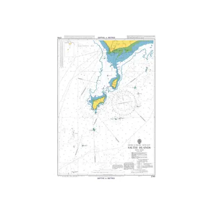
Nautical Chart 2740 Saltee islands
Price DKK 525.31
Out of stock
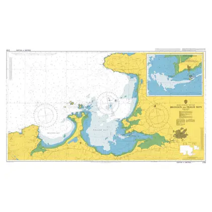
Nautical Chart 2739 Brandon and Tralee Bays
Price DKK 525.31
Out of stock
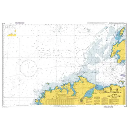
Nautical Chart 2723 West.app./north Channel
Price DKK 525.31
Out of stock
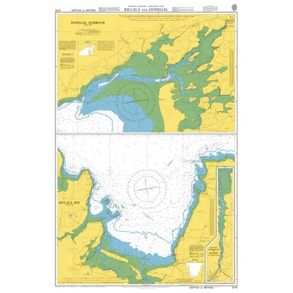
Nautical Chart 2715 Killala + Donegal Harbour
Price DKK 525.31
Out of stock
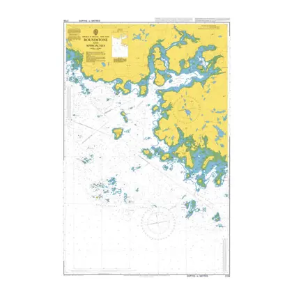
Nautical Chart 2709 Roundstone & Approach
Price DKK 525.31
Out of stock
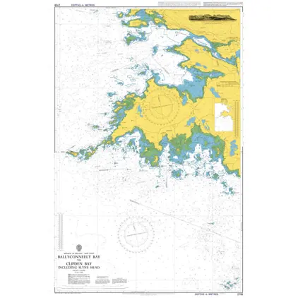
Nautical Chart 2708 Ballyconneely Bay to Clifden Bay
Price DKK 525.31
Out of stock
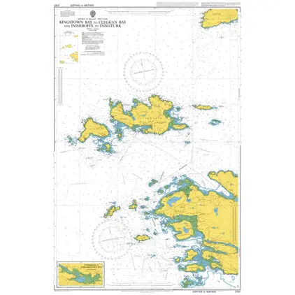
Nautical Chart 2707 Kingstown B to Cleggan Bay
Price DKK 525.31
Out of stock
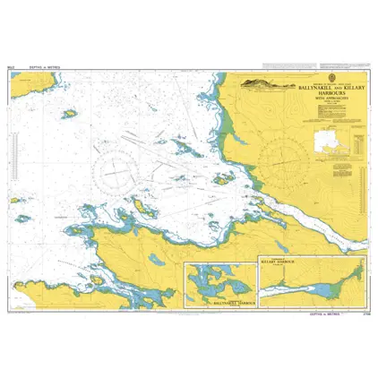
Nautical Chart 2706 Ballynakill and Killary Hbrs. with Appr
Price DKK 525.31
Out of stock
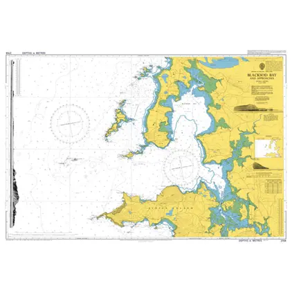
Nautical Chart 2704 Blacksod Bay + Appr.
Price DKK 525.31
Out of stock
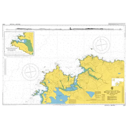
Nautical Chart 2703 Broad Haven Bay + App
Price DKK 525.31
Out of stock
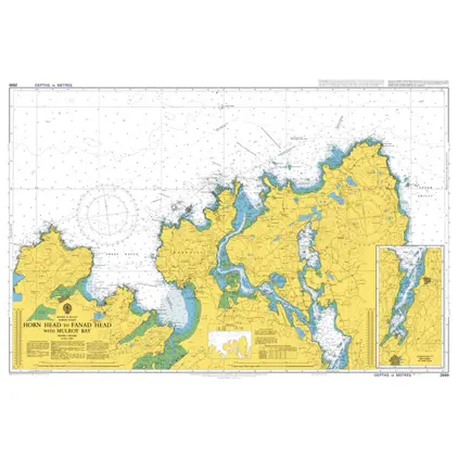
Nautical Chart 2699 Horn Head to Fanad Head
Price DKK 525.31
Out of stock
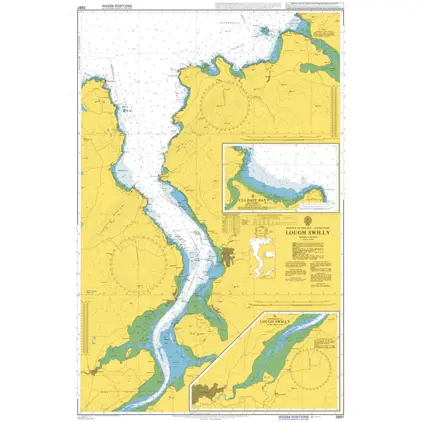
Nautical Chart 2697 Lough Swilly
Price DKK 525.31
Out of stock
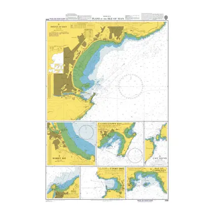
Nautical Chart 2696 Plans in the Isle of Man
Price DKK 525.31
Out of stock
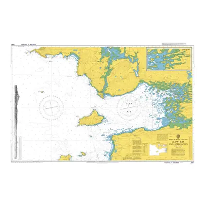
Nautical Chart 2667 Clew Bay and Approach
Price DKK 525.31
Out of stock
Previous
1
2
3
4
...
6
Next
View on map
Close
Close