Ireland
ADMIRALTY nautical sea charts for Ireland.
View on map
81-100
of
112
products
Select an option
Country not found
List is empty.
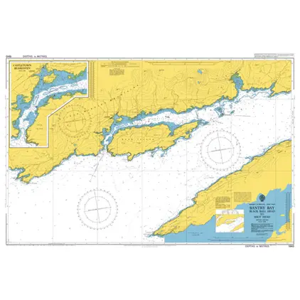
Nautical Chart 1840 Bantry Bay-Black Ball
Price DKK 525.31
Out of stock
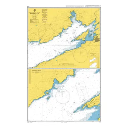
Nautical Chart 1838 Shot Head to Bantry
Price DKK 525.31
Out of stock
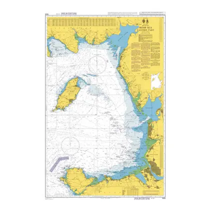
Nautical Chart 1826 Irish Sea-Eastern Part
Price DKK 525.31
Out of stock
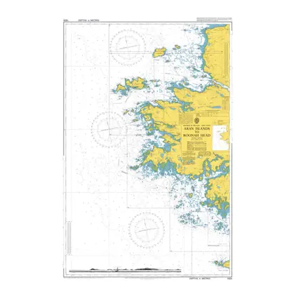
Nautical Chart 1820 Aran Isl to Roonah Head
Price DKK 525.31
Out of stock
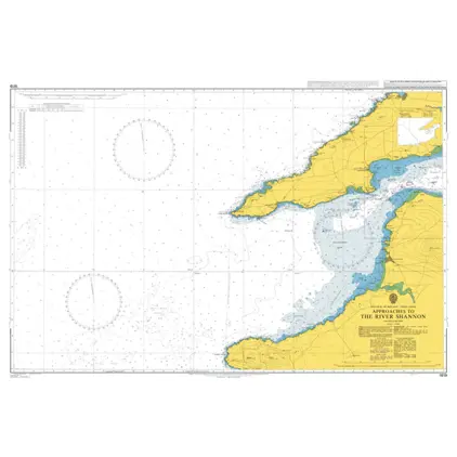
Nautical Chart 1819 App.to the River Shannon
Price DKK 525.31
Out of stock
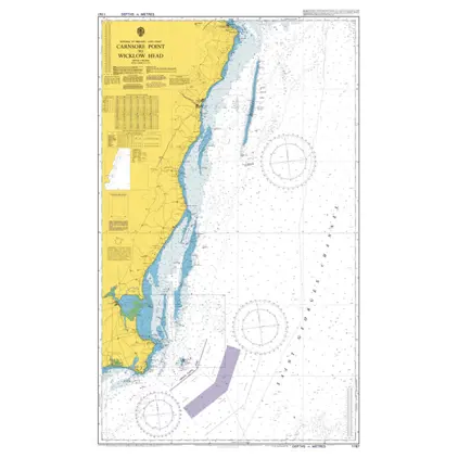
Nautical Chart 1787 Carnsore Pt./ Wicklow
Price DKK 525.31
Out of stock
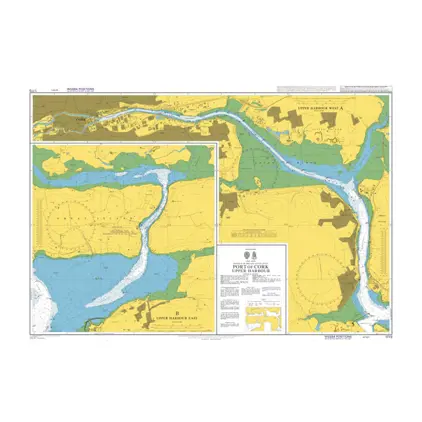
Nautical Chart 1773 Port of Cork, Upper Harbour
Price DKK 525.31
Out of stock
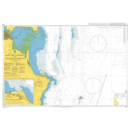
Nautical Chart 1772 Rosslare Europort/Wexford Harbours
Price DKK 525.31
Out of stock
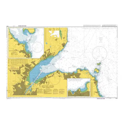
Nautical Chart 1753 Belfast Lough and app
Price DKK 525.31
Out of stock
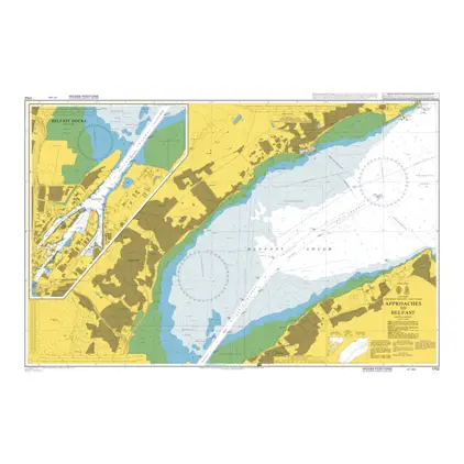
Nautical Chart 1752 Approaches to Belfast
Price DKK 525.31
Out of stock
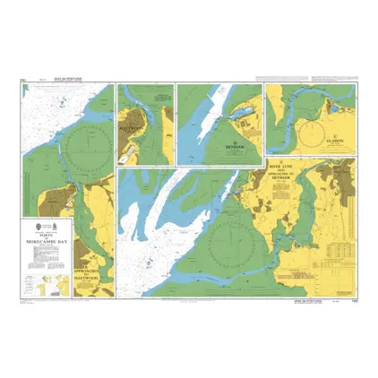
Nautical Chart 1552 Ports in Morecambe Bay
Price DKK 525.31
Out of stock
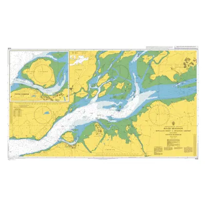
Nautical Chart 1549 River Shannon-Rinealon
Price DKK 525.31
Out of stock
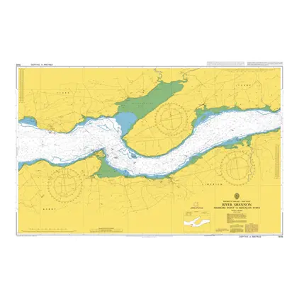
Nautical Chart 1548 River Shannon Ardmore Point to Rinealon Point
Price DKK 525.31
Out of stock
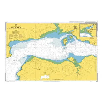
Nautical Chart 1547 Kilcredaun Point-Ardmore Point
Price DKK 525.31
Out of stock
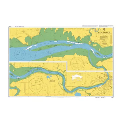
Nautical Chart 1540 River Shannon-Limeric
Price DKK 525.31
Out of stock
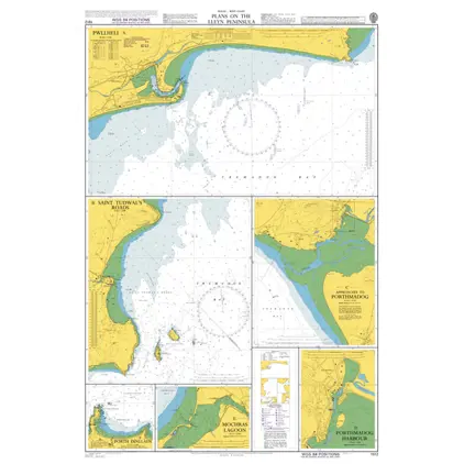
Nautical Chart 1512 Wales: Plans
Price DKK 525.31
Out of stock
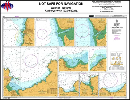
Nautical Chart 1484 Plans in Cardigan Bay
Price DKK 525.31
Out of stock
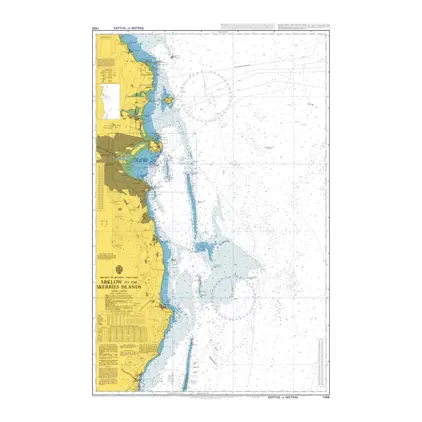
Nautical Chart 1468 Arklow/Skerries Islands
Price DKK 525.31
Out of stock
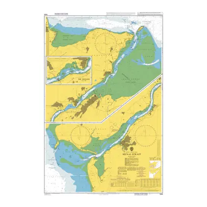
Nautical Chart 1464 Menai Strait-Swellies
Price DKK 525.31
Out of stock
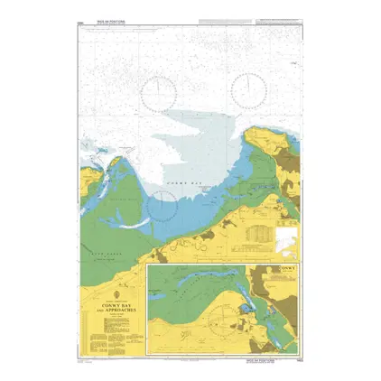
Nautical Chart 1463 Conwy Bay and approaches
Price DKK 525.31
Out of stock
Previous
1
...
3
4
5
6
Next
View on map
Close
Close