Atlantic
The full range of ADMIRALTY nautical sea charts for the Atlantic Ocean.
View on map
121-140
of
168
products
Select an option
Country not found
List is empty.
Nautical Chart 2536 Port William to Choiseul
Price DKK 525.31
Out of stock
Nautical Chart 2527 Falkland Islands, Port Alhemaric.
Price DKK 525.31
Out of stock
Nautical Chart 2526 Byron Sound to Jason Islands
Price DKK 525.31
Out of stock
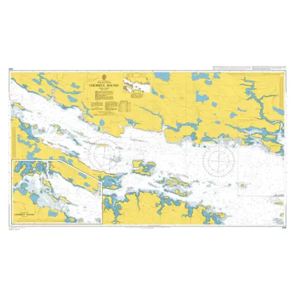
Nautical Chart 2525 Falkland Islands, Choiseul Sound
Price DKK 525.31
Out of stock
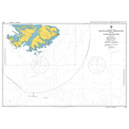
Nautical Chart 2520 Falkland Island South-East App.
Price DKK 525.31
Out of stock
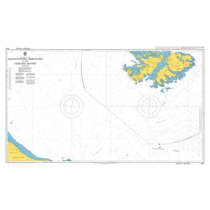
Nautical Chart 2519 Falkland Island - South-West appr.
Price DKK 525.31
Out of stock
Nautical Chart 2518 Falkland Island North-East Approaches
Price DKK 525.31
Out of stock
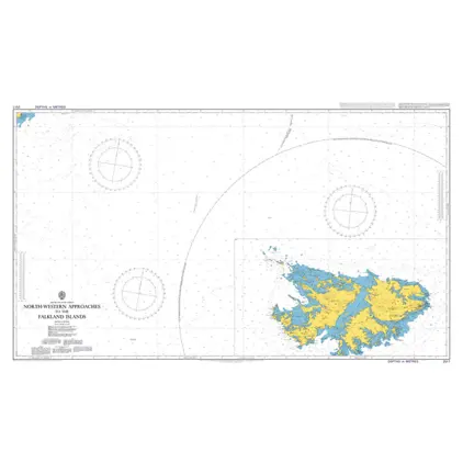
Nautical Chart 2517 Falkland Island North-West App.
Price DKK 525.31
Out of stock
Nautical Chart 2514 New Isl.to Pebble Island
Price DKK 525.31
Out of stock
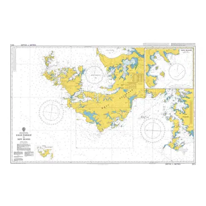
Nautical Chart 2513 Eagle Pass.to New Island
Price DKK 525.31
Out of stock
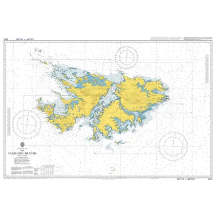
Nautical Chart 2512 The Falkland Islands
Price DKK 525.31
Out of stock
Nautical Chart 2508 Port Fitzroy to Eagle Passage
Price DKK 525.31
Out of stock
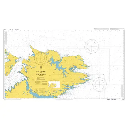
Nautical Chart 2507 Pebble Isl./Port Fitz
Price DKK 525.31
Out of stock
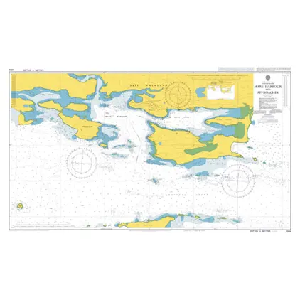
Nautical Chart 2506 Mare Harbour and App.
Price DKK 525.31
Out of stock
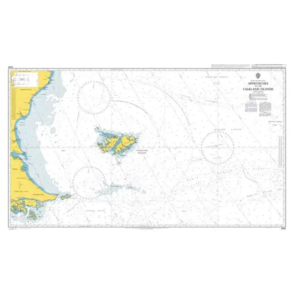
Nautical Chart 2505 App.to the Falkland Islands
Price DKK 525.31
Out of stock
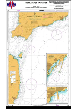
Nautical Chart 1863 Puerto de los Marmole
Price DKK 525.31
Out of stock
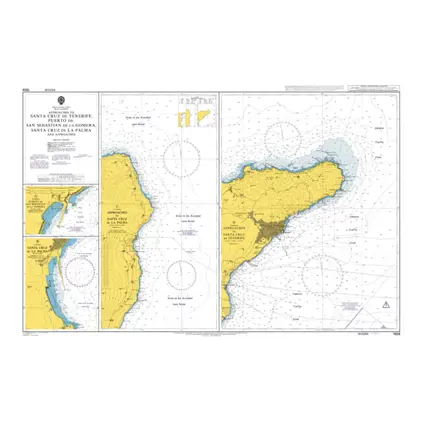
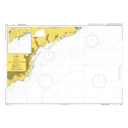
Nautical Chart 1858 App: Santa Cruz-Tenerife
Price DKK 525.31
Out of stock
Nautical Chart 1847 Islas Canarias
Price DKK 525.31
Out of stock
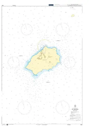
Nautical Chart 1821 South Atl. St. Helena
Price DKK 525.31
Out of stock
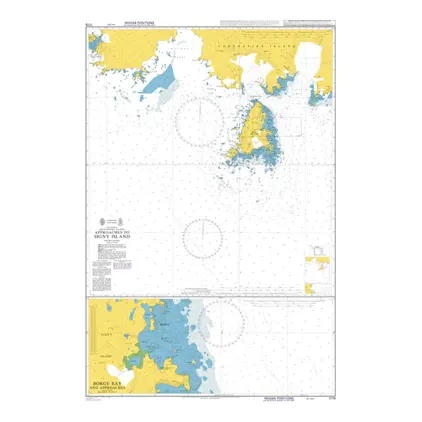
Nautical Chart 1779 App to Signy Island
Price DKK 525.31
Out of stock
Previous
1
...
5
6
7
8
9
Next
View on map
Close
Close