Atlantic
The full range of ADMIRALTY nautical sea charts for the Atlantic Ocean.
View on map
81-100
of
168
products
Select an option
Country not found
List is empty.
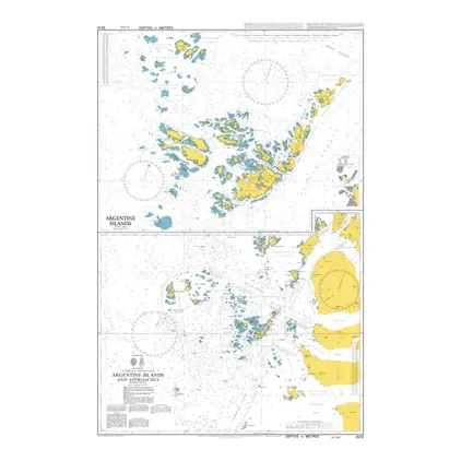
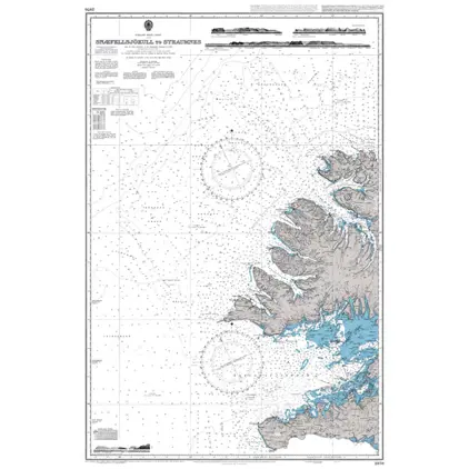
Nautical Chart 3575 Argentine Islands & appr
Price DKK 525.31
Out of stock
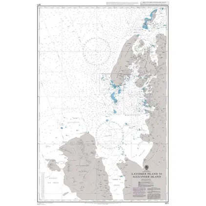
Nautical Chart 3571 Lavoisier Island -Alexander
Price DKK 525.31
Out of stock
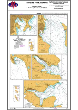
Nautical Chart 3569 Plans in Faroe Island
Price DKK 525.31
Out of stock
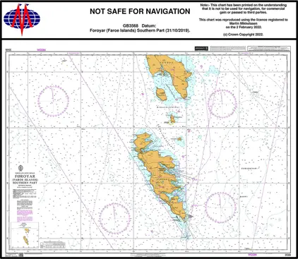
Nautical Chart 3568 Foroyar (Faroe Islands) Southern Part
Price DKK 525.31
Out of stock
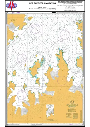
Nautical Chart 3566 Gerlache Strait, s. Part
Price DKK 525.31
Out of stock
Nautical Chart 3560 Gerlache Strait, N. Part
Price DKK 525.31
Out of stock
POD 3463 Graham Land & South S
Price DKK 525.31
Out of stock
POD 3462 Marguerite Bay
Price DKK 525.31
Out of stock
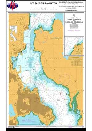
Nautical Chart 3270 Lerwick Harbour/Dales Voe
Price DKK 525.31
Out of stock
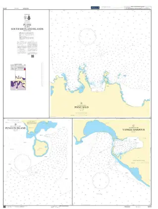
POD 3210 Antarctica, Plans
Price DKK 525.31
Out of stock
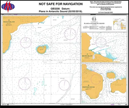
POD 3208 Plans Antartic Sound
Price DKK 525.31
Out of stock
Nautical Chart 3207 Graham Land, Gerlache
Price DKK 525.31
Out of stock
POD 3206 Gerlache Strait to Or
Price DKK 525.31
Out of stock
POD 3205 Shetl.Isl.& Bransfiel
Price DKK 525.31
Out of stock
Nautical Chart 3137 Svalbard, Southern Part
Price DKK 525.31
Out of stock
Nautical Chart 3136 Svalbard, Northern Part
Price DKK 525.31
Out of stock
Nautical Chart 2976 App Rio Guadalquivir
Price DKK 525.31
Out of stock
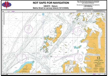
Nautical Chart 2975 Matha Strait to Larrouy Island
Price DKK 525.31
Out of stock
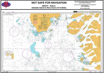
Nautical Chart 2974 Adelaide Island / Neny Island
Price DKK 525.31
Out of stock
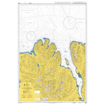
Nautical Chart 2956 Eyjafjördur
Price DKK 525.31
Out of stock
Previous
1
...
3
4
5
6
7
...
9
Next
View on map
Close
Close