Atlantic
The full range of ADMIRALTY nautical sea charts for the Atlantic Ocean.
View on map
141-160
of
168
products
Select an option
Country not found
List is empty.
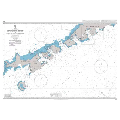
Nautical Chart 1776 Livingston/King Georg
Price DKK 525.31
Out of stock
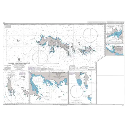
Nautical Chart 1775 South Orkney Islands
Price DKK 525.31
Out of stock
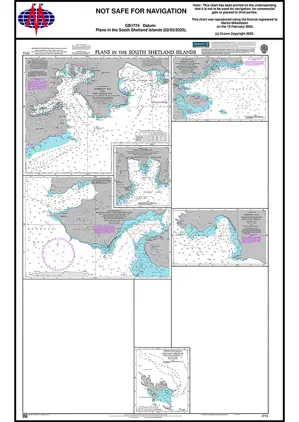
Nautical Chart 1774 S. Shetland Islands: Plans
Price DKK 525.31
Out of stock
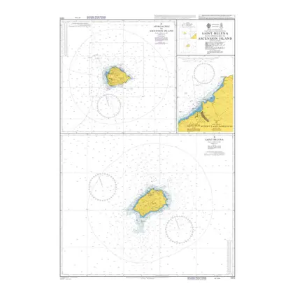
Nautical Chart 1771 Island of Saint Helen
Price DKK 525.31
Out of stock
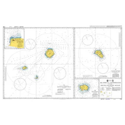
Nautical Chart 1769 S. Atlantic Ocean: Islands and Anchorages.
Price DKK 525.31
Out of stock
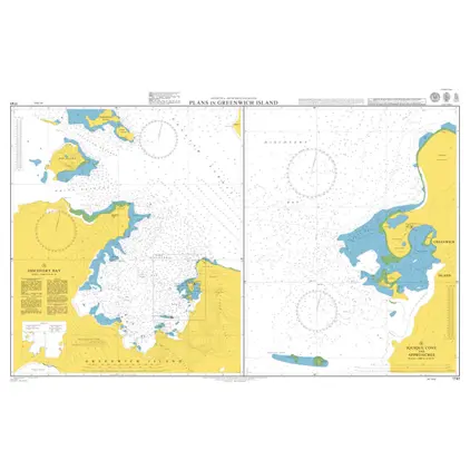
Nautical Chart 1741 Plans Greenwich Islands
Price DKK 525.31
Out of stock
Nautical Chart 1740 South Shetland Island
Price DKK 525.31
Out of stock
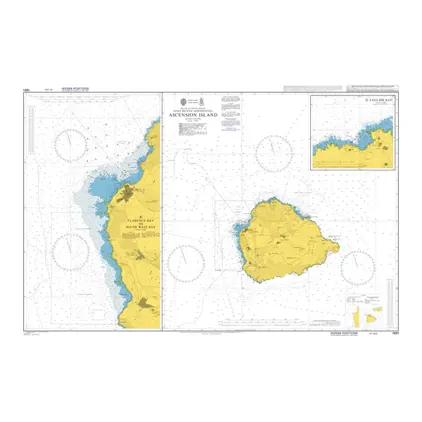
Nautical Chart 1691 Island of Ascension
Price DKK 525.31
Out of stock
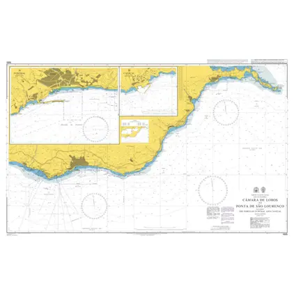
Nautical Chart 1685 Ponta Gorda to Ponta de Sao Lourenco
Price DKK 525.31
Out of stock
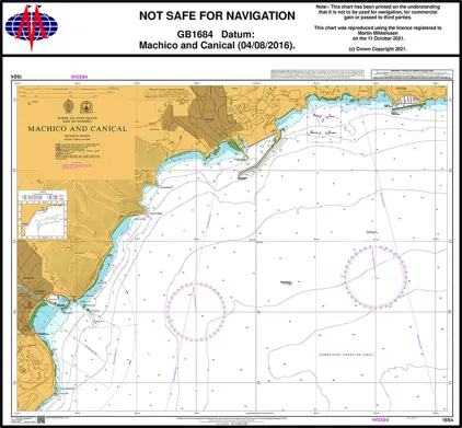
Nautical Chart 1684 Machico and Canical
Price DKK 525.31
Out of stock
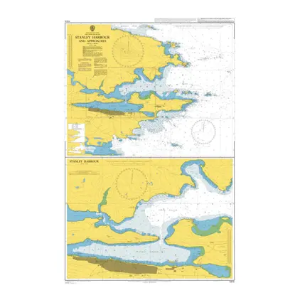
Nautical Chart 1614 Stanley Harb.and app.
Price DKK 525.31
Out of stock
Nautical Chart 1315 Bermuda, St.Georges Habour
Price DKK 525.31
Out of stock
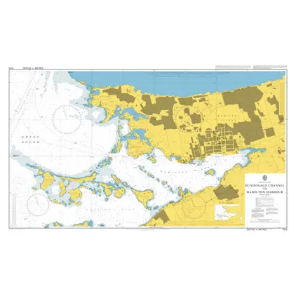
Nautical Chart 1073 Dundonald Channel to Hamilton Harbour
Price DKK 525.31
Out of stock
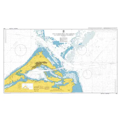
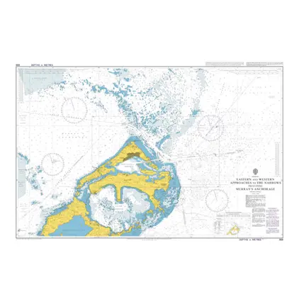
Nautical Chart 868 Bermuda, E & W app. The Narrows
Price DKK 525.31
Out of stock
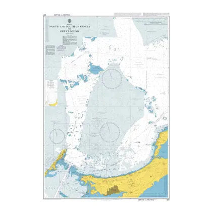
Nautical Chart 867 Bermuda, N&S Channels
Price DKK 525.31
Out of stock
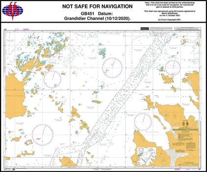
Nautical Chart 451 Antarctica-Grandidier Channel
Price DKK 525.31
Out of stock
Nautical Chart 450 Antarctica- Graham Land, Grandidier Channal.
Price DKK 525.31
Out of stock
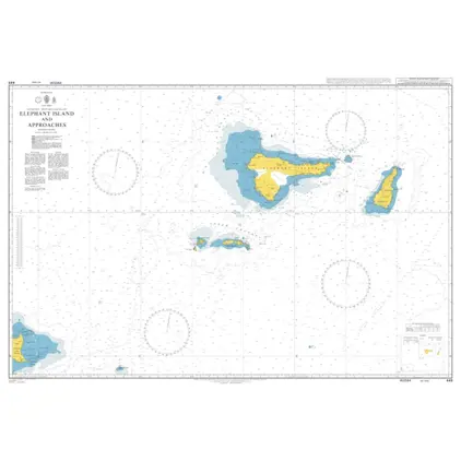
Nautical Chart 449 Elephant Island & App.
Price DKK 525.31
Out of stock
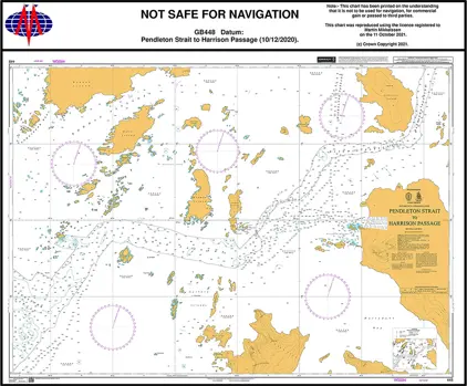
Nautical Chart 448 Pendleton St. Harrison
Price DKK 525.31
Out of stock
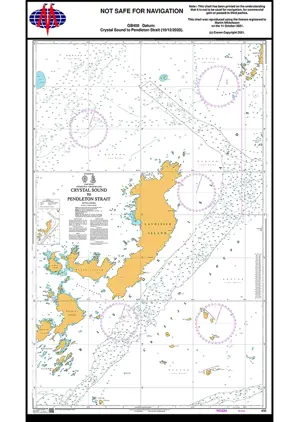
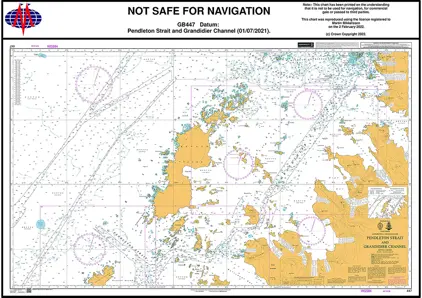
Nautical Chart 447 Pendleton Strait Grandidier Channel
Price DKK 525.31
Out of stock
Previous
1
...
6
7
8
9
Next
View on map
Close
Close