Atlantic
The full range of ADMIRALTY nautical sea charts for the Atlantic Ocean.
View on map
61-80
of
168
products
Select an option
Country not found
List is empty.
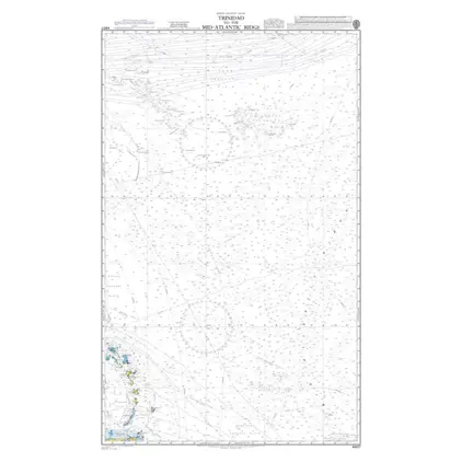
Nautical Chart 4407 Trinidad to the Mid - Atlantic Ridge
Price DKK 525.31
Out of stock
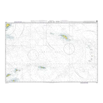
POD 4213 Scotia Sea
Price DKK 525.31
Out of stock
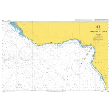
POD 4209 Freetown to Luanda
Price DKK 525.31
Out of stock
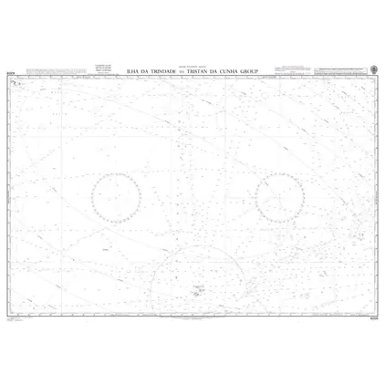
Nautical Chart 4208 Ilha da Trindade-Tristan
Price DKK 525.31
Out of stock
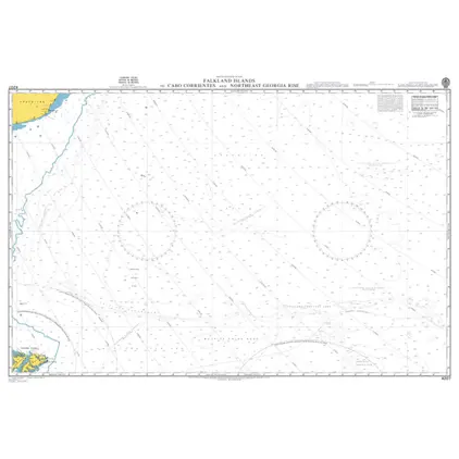
POD 4207 Falkland Isl.-C.Corri
Price DKK 525.31
Out of stock
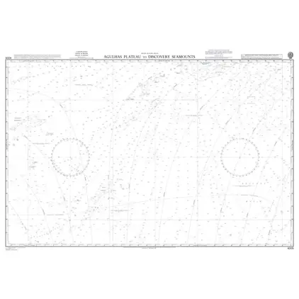
POD 4205 Agulhas Plateau
Price DKK 525.31
Out of stock
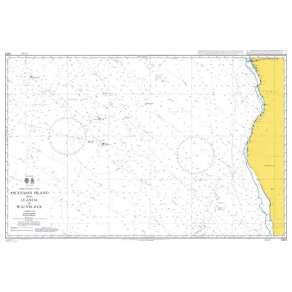
POD 4203 Ascension Isl.& Luand
Price DKK 525.31
Out of stock
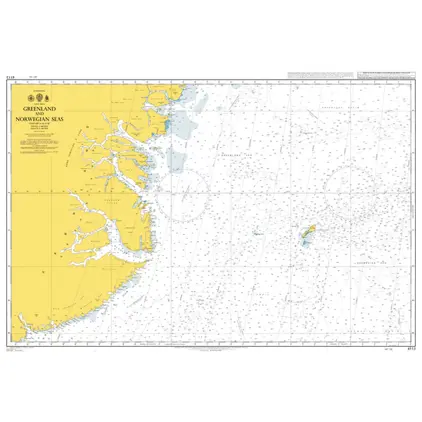
Nautical Chart 4113 Greenland & Norwegian Sea
Price DKK 525.31
Out of stock
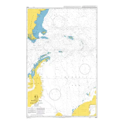
Nautical Chart 4024 Weddell Sea to del Plata
Price DKK 525.31
Out of stock
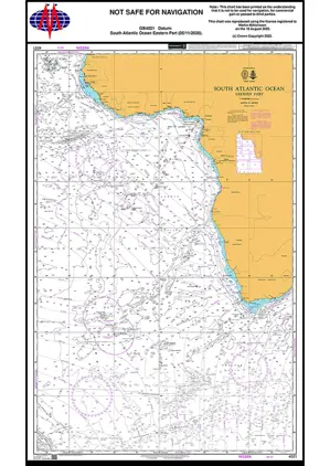
Nautical Chart 4021 South Atl. Ocean, eastern part
Price DKK 525.31
Out of stock
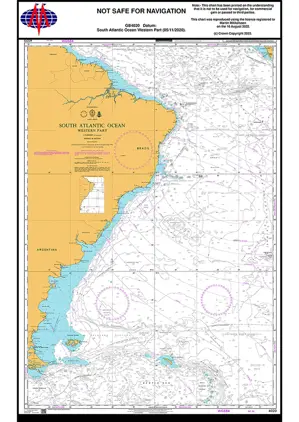
Nautical Chart 4020 South Atl. Ocean, Western Part
Price DKK 525.31
Out of stock
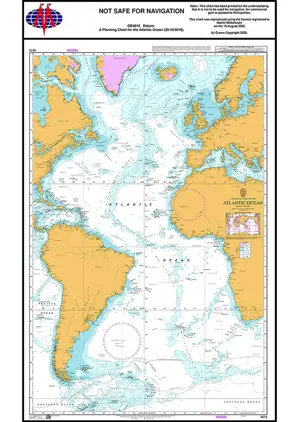
Nautical Chart 4015 Planning Chart Atlantic
Price DKK 525.31
Out of stock
Nautical Chart 4003 South Atl.Ocean, Planning Chart
Price DKK 525.31
Out of stock
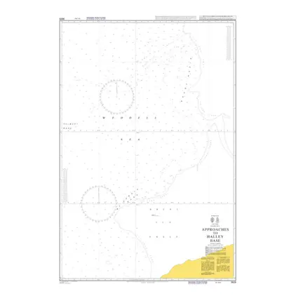
Nautical Chart 3629 Appr. to Halley Base
Price DKK 525.31
Out of stock
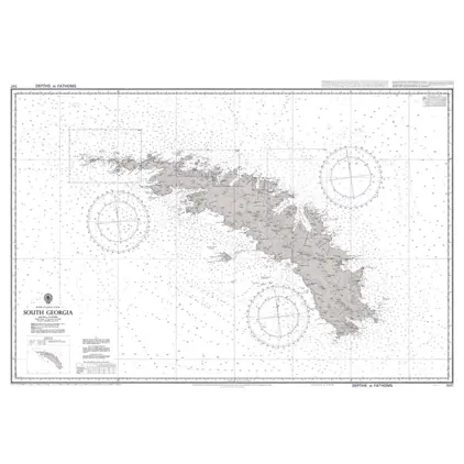
Nautical Chart 3597 South Georgia
Price DKK 525.31
Out of stock
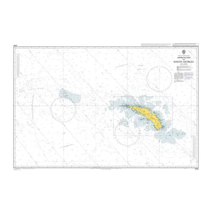
Nautical Chart 3596 Appr. to South Georgia
Price DKK 525.31
Out of stock
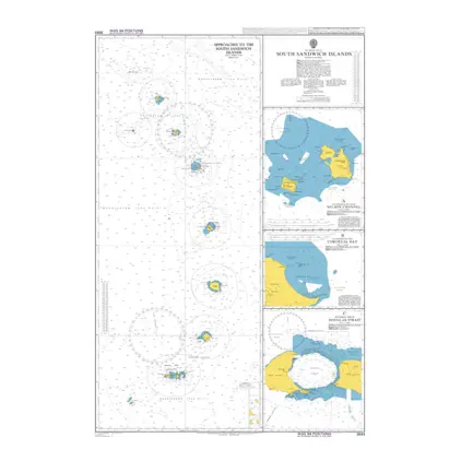
Nautical Chart 3593 South Sandwich Island
Price DKK 525.31
Out of stock
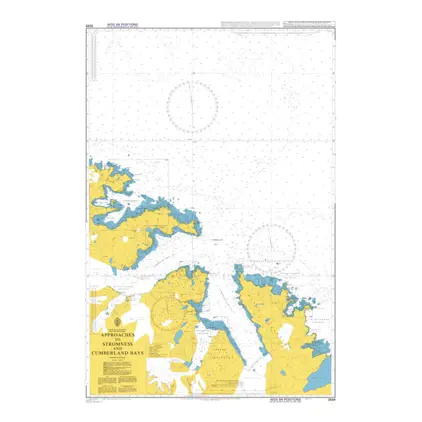
Nautical Chart 3588 Approaches to Stromness
Price DKK 525.31
Out of stock
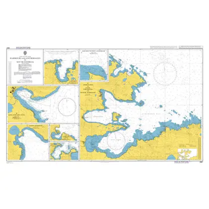
Nautical Chart 3587 South Georgia, Hbr. & Appr
Price DKK 525.31
Out of stock
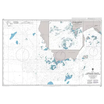
Nautical Chart 3577 Adelaide Island, SW appr
Price DKK 525.31
Out of stock
Previous
1
2
3
4
5
6
...
9
Next
View on map
Close
Close