Atlantic
The full range of ADMIRALTY nautical sea charts for the Atlantic Ocean.
View on map
21-40
of
168
products
Select an option
Country not found
List is empty.
POD 5375 Magnetic Var.2010 N.A
Price DKK 211.00
Out of stock
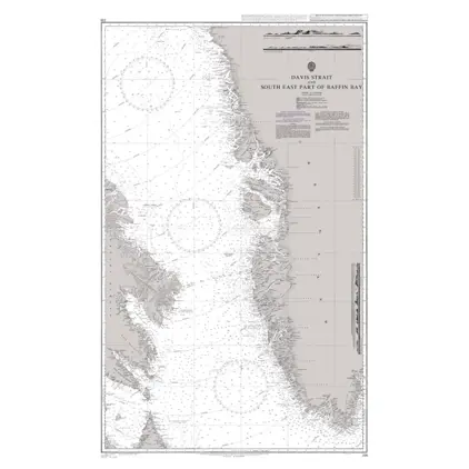
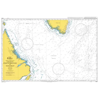
Nautical Chart 235 Davis Strait
Price DKK 525.31
Out of stock
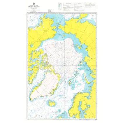
Nautical Chart 4006 Artic Region, Planning chart
Price DKK 525.31
Out of stock
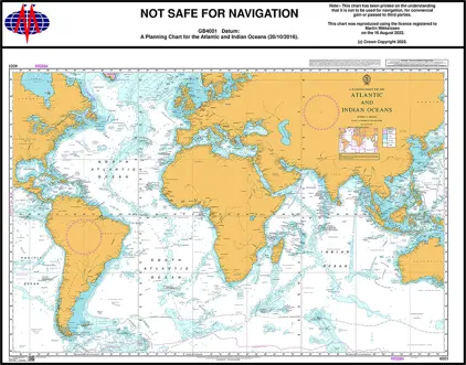
Nautical Chart 4001 Atl. & Ind. Ocean, Planning Chart
Price DKK 525.31
Out of stock
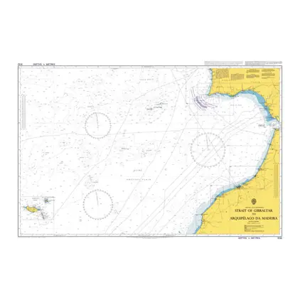
Nautical Chart 3132 Strait of Gibraltar to Arquipelago da Madeira
Price DKK 525.31
Out of stock
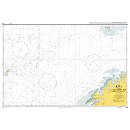
Nautical Chart 4100 Norway to Jan Mayen
Price DKK 525.31
Out of stock
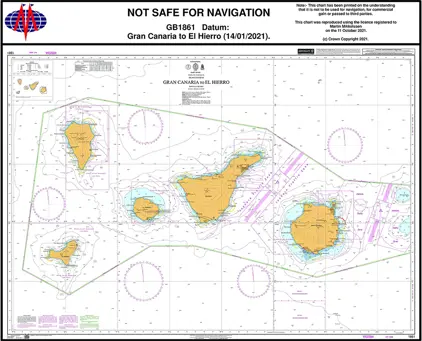
Nautical Chart 1861 Gran Canaria/El Hiero
Price DKK 525.31
Out of stock
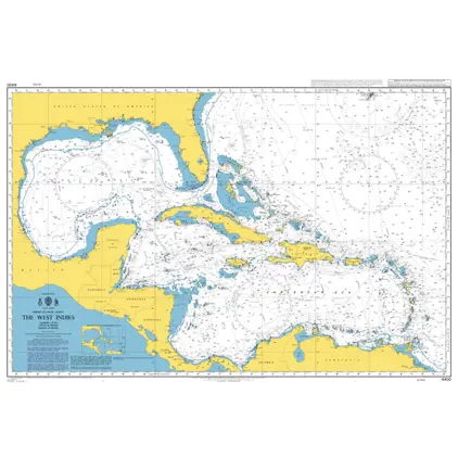
Nautical Chart 4400 North Atlantic Ocean, The West Indies.
Price DKK 525.31
Out of stock
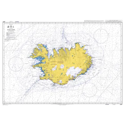
Nautical Chart 2897 Iceland
Price DKK 525.31
Out of stock
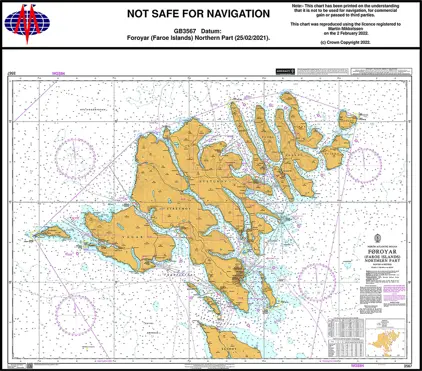
Nautical Chart 3567 Foroyar (Faroe Islands) Northern Part
Price DKK 525.31
Out of stock
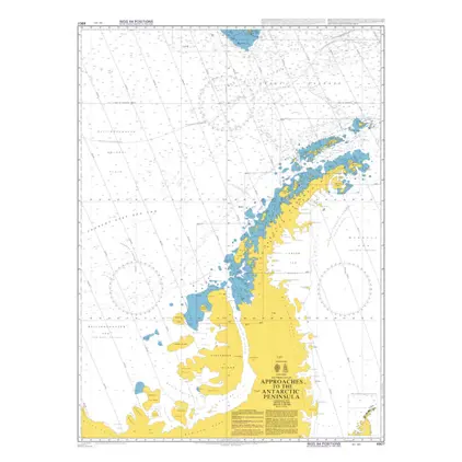
POD 4907 App.to Antarct.Penins
Price DKK 525.31
Out of stock
Nautical Chart 4405 Labrador Sea
Price DKK 525.31
Out of stock
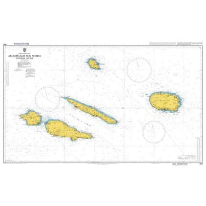
Nautical Chart 1956 Arquipelago dos Azore
Price DKK 525.31
Out of stock
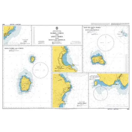
Nautical Chart 1959 Corvo and Santa Maria
Price DKK 525.31
Out of stock
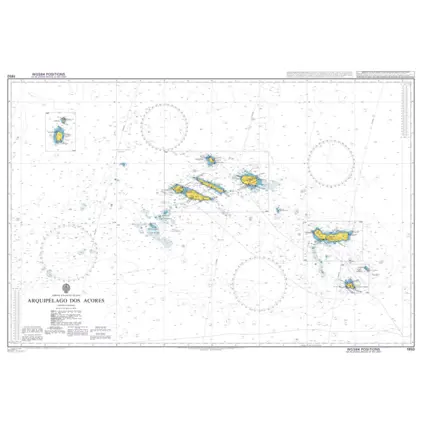
Nautical Chart 1950 Arquipelago dos Acores
Price DKK 525.31
Out of stock
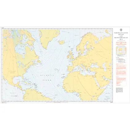
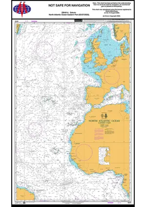
Nautical Chart 4014 North Atl. Ocean, Eastern Part
Price DKK 525.31
Out of stock
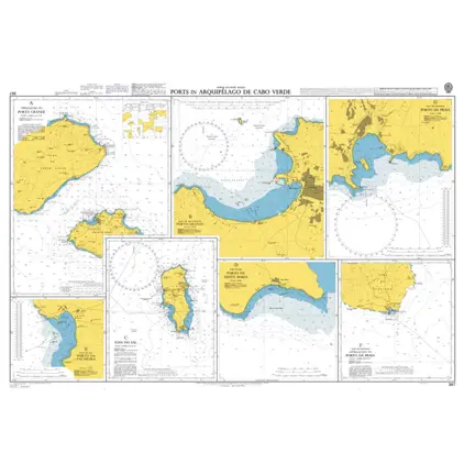
Nautical Chart 367 Arquipelago Cabo Verde
Price DKK 525.31
Out of stock
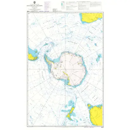
Nautical Chart 4009 Antarctic Region Planning Chart
Price DKK 525.31
Out of stock
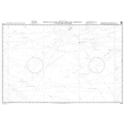
POD 4206 Tristan da Cunha Grou
Price DKK 525.31
Out of stock
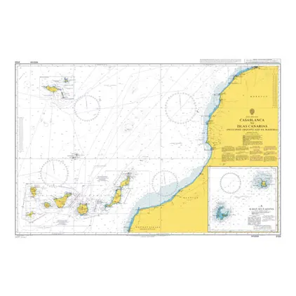
Nautical Chart 3133 Casablanca/Islas Canarias
Price DKK 525.31
Out of stock
Previous
1
2
3
4
...
9
Next
View on map
Close
Close