North Sea W
The full range of ADMIRALTY nautical sea charts for the Western North Sea.
View on map
1-20
of
128
products
Select an option
Country not found
List is empty.
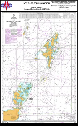
Nautical Chart 1239 Orkney and Shetland Islands
Price DKK 525.31
Out of stock
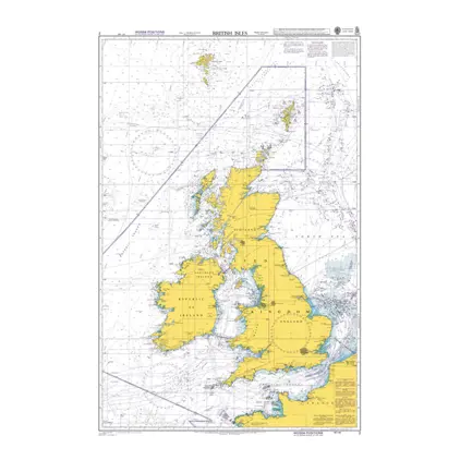
Nautical Chart 2 The British Isles
Price DKK 525.31
Out of stock
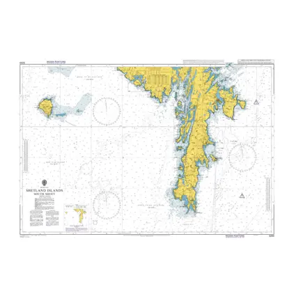
Nautical Chart 3283 Shetland Island South sheet
Price DKK 525.31
Out of stock
Nautical Chart 3282 Shetland Islands, N-E
Price DKK 525.31
Out of stock
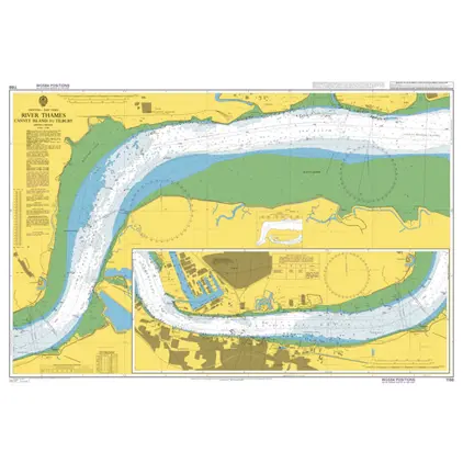
Nautical Chart 1186 Canvey Island to Tilbury
Price DKK 525.31
Out of stock
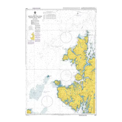
Nautical Chart 3281 Shetland Islands, N-W
Price DKK 525.31
Out of stock
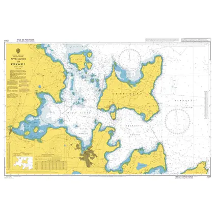
Nautical Chart 2584 Approaches to Kirkwall
Price DKK 525.31
Out of stock
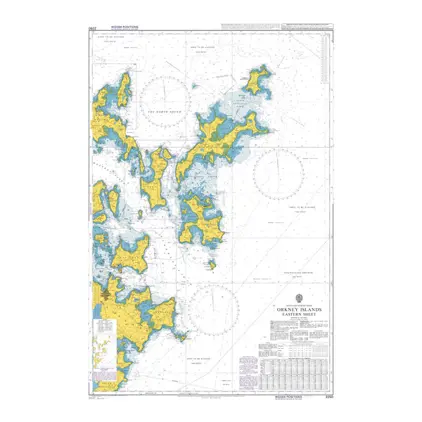
Nautical Chart 2250 Orkney Islands-eastern sheet
Price DKK 525.31
Out of stock
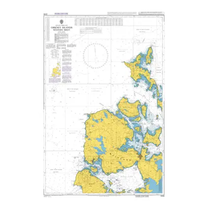
Nautical Chart 2249 Orkney Islands-western sheet
Price DKK 525.31
Out of stock
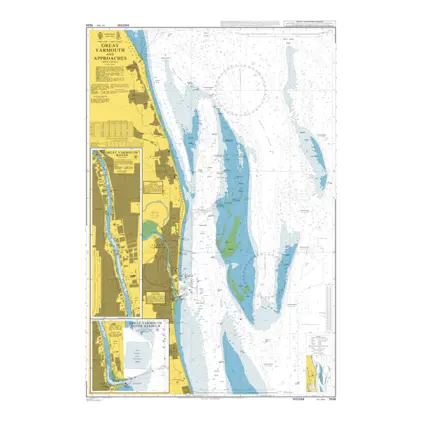
Nautical Chart 1534 Great Yarmouth & App
Price DKK 525.31
Out of stock
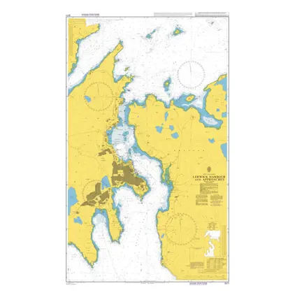
Nautical Chart 3271 Lerwick Harbour and app.
Price DKK 525.31
Out of stock
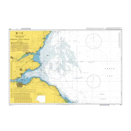
Nautical Chart 1407 Montrose to Berwick
Price DKK 525.31
Out of stock
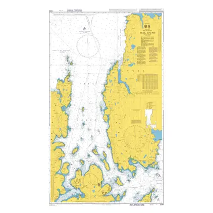
Nautical Chart 3298 Shetland Island Yell Sound
Price DKK 525.31
Out of stock
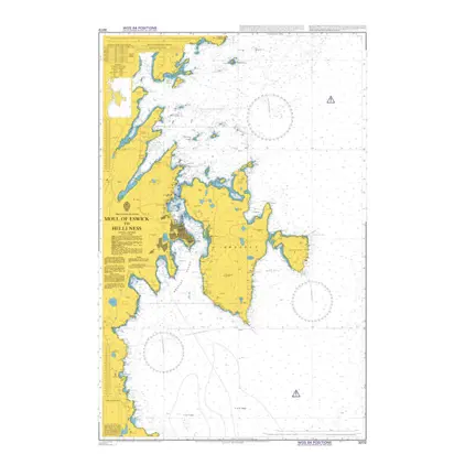
Nautical Chart 3272 Moul of Eswick to Helli Ness
Price DKK 525.31
Out of stock
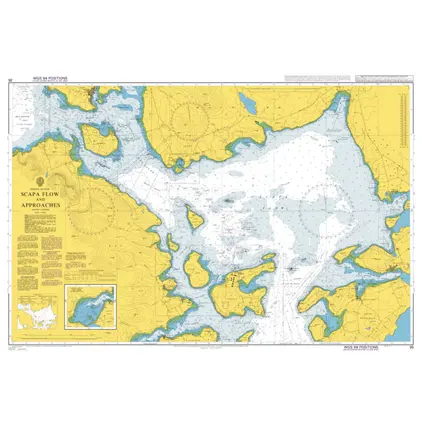
Nautical Chart 35 Scapa Flow and approaches
Price DKK 525.31
Out of stock
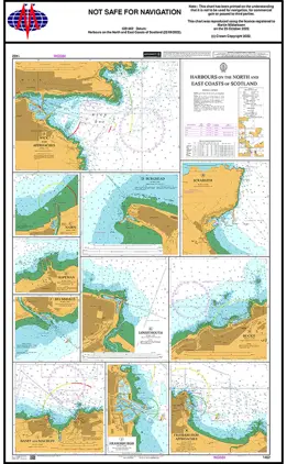
Nautical Chart 1462 Scotland, Harbours of North and East Coasts
Price DKK 525.31
Out of stock
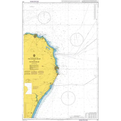
Nautical Chart 213 Fraserburgh to Newburgh
Price DKK 525.31
Out of stock
Mariners Routeing Guide 5522 MRG WC Scotland Pentland Firth.
Price DKK 500.30
Out of stock
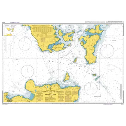
Nautical Chart 2162 Pentland Firth and Approaches.
Price DKK 525.31
Out of stock
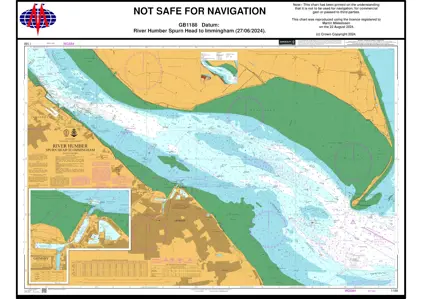
Nautical Chart 1188 Spurn Head to Immingham
Price DKK 525.31
Out of stock
Previous
1
2
3
...
7
Next
View on map
Close
Close