Africa E
ADMIRALTY nautical sea charts for East Africa.
View on map
1-20
of
74
products
Select an option
Country not found
List is empty.
Maritime Security Chart Q6099 MSC Red Sea, Aden and Arabian Sea
Price DKK 500.30
Out of stock
Nautical Chart 4180 Richards Bay/Inhambane
Price DKK 525.31
Out of stock
Nautical Chart 3906 Approaches Madagascar
Price DKK 525.31
Out of stock
Nautical Chart 3905 NE Approa. Madagascar
Price DKK 525.31
Out of stock
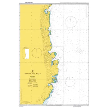
Nautical Chart 2926 Porto de Mozambique
Price DKK 525.31
Out of stock
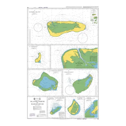
Nautical Chart 718 Islands North of Madagascar
Price DKK 525.31
Out of stock
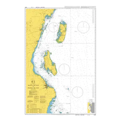
Nautical Chart 3310 Mafia to Pemba Island
Price DKK 525.31
Out of stock
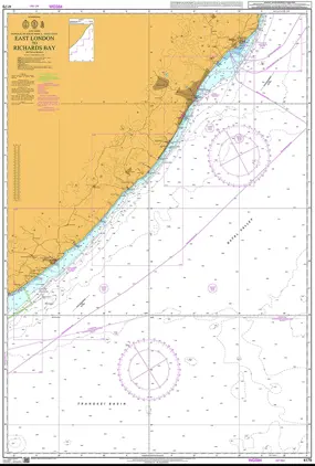
Nautical Chart 4179 East London / Richard
Price DKK 525.31
Out of stock
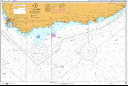
POD 4178 Table Bay to East Lon
Price DKK 525.31
Out of stock
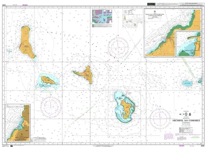
Nautical Chart 3895 Archipel des Comores
Price DKK 525.31
Out of stock
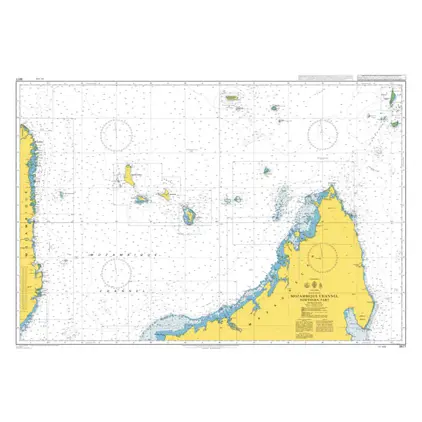
Nautical Chart 3877 Mozambique Channel, Northern part
Price DKK 525.31
Out of stock
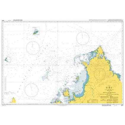
Nautical Chart 3876 Nosy Be/Baie d'Antsiranana
Price DKK 525.31
Out of stock
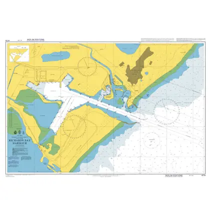
POD 4174 Richards Bay Harbour
Price DKK 525.31
Out of stock
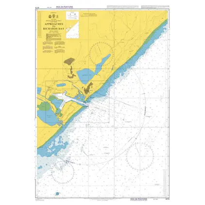
POD 4173 Approach to Richards
Price DKK 525.31
Out of stock
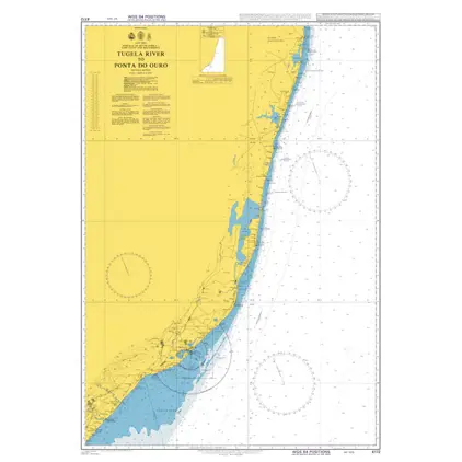
POD 4172 Tugela R./Ponta do Ou
Price DKK 525.31
Out of stock
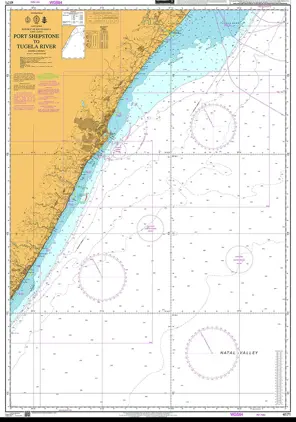
POD 4171 Port Shepstone/Tugela
Price DKK 525.31
Out of stock
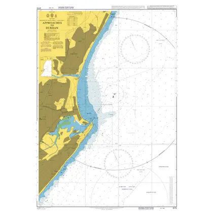
POD 4170 Approaches to Durban
Price DKK 525.31
Out of stock
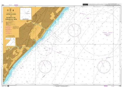
POD 4169 App. Durban Oil term
Price DKK 525.31
Out of stock
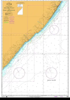
POD 4163 Mbashe Point/Shepston
Price DKK 525.31
Out of stock
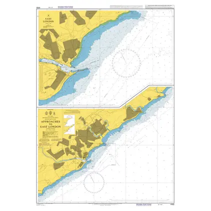
POD 4162 Appr.to East London
Price DKK 525.31
Out of stock
Previous
1
2
3
4
Next
View on map
Close
Close