Africa E
ADMIRALTY nautical sea charts for East Africa.
View on map
21-40
of
74
products
Select an option
Country not found
List is empty.
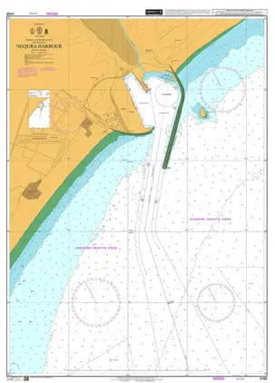
POD 4160 Ngqura Harbour
Price DKK 525.31
Out of stock
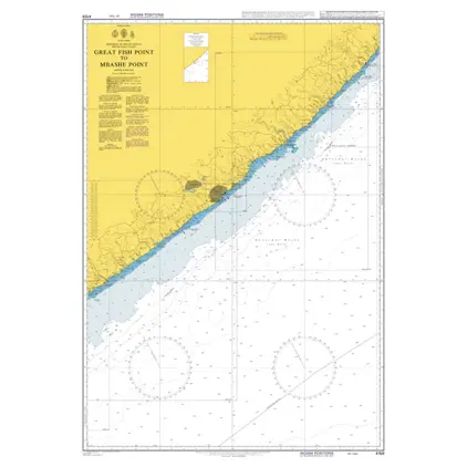
POD 4159 Great Fish Pt.to Mbas
Price DKK 525.31
Out of stock
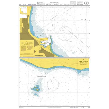
POD 4158 Plans in Algoa Bay
Price DKK 525.31
Out of stock
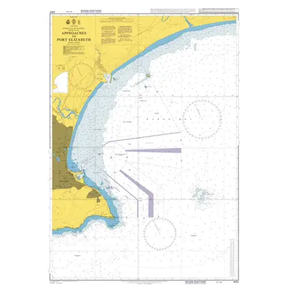
POD 4157 App.to Port Elizabeth
Price DKK 525.31
Out of stock
POD 4156 Cape St Francis
Price DKK 525.31
Out of stock
POD 4155 Cape St.Blaize / Fran
Price DKK 525.31
Out of stock
Nautical Chart 4154 S. Africa-s.c., Mossel
Price DKK 525.31
Out of stock
Nautical Chart 3880 Mozambique Channel, Southern Part
Price DKK 525.31
Out of stock
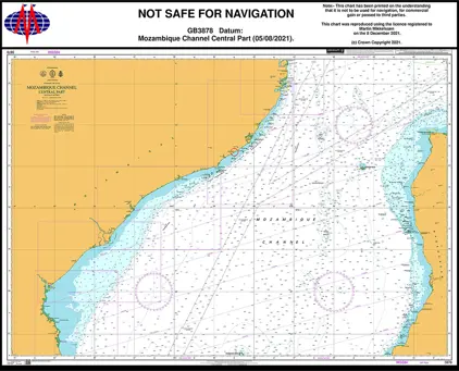
Nautical Chart 3878 Mozambique Chan. Central Part
Price DKK 525.31
Out of stock
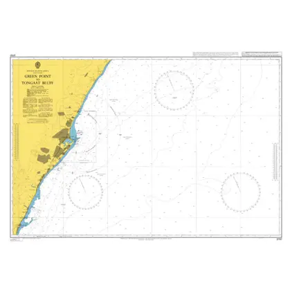
Nautical Chart 3797 Green Pt. to Tongaat Bluff
Price DKK 525.31
Out of stock
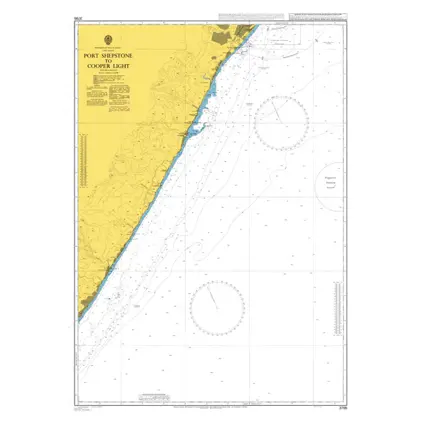
Nautical Chart 3795 P. Shepstone-Cooper Light
Price DKK 525.31
Out of stock
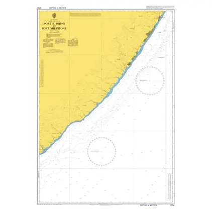
Nautial Chart 3794 Port St. Johns-Shepstone
Price DKK 525.31
Out of stock
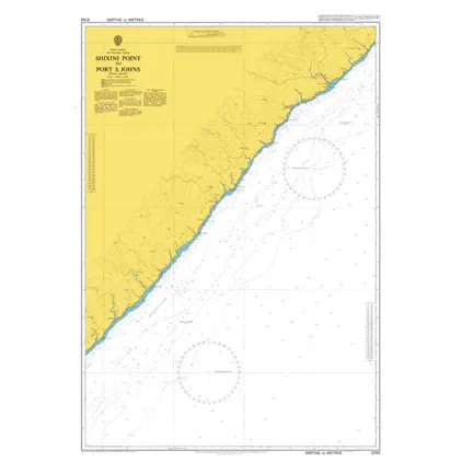
Nautical Chart 3793 Shixini Pt-Port St. Johns
Price DKK 525.31
Out of stock
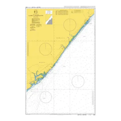
Nautical Chart 3362 Lamu to Kismaayo
Price DKK 525.31
Out of stock
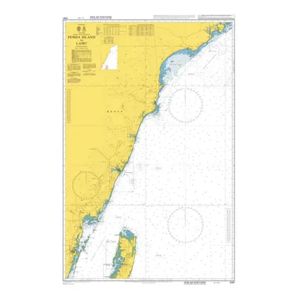
Nautical Chart 3361 Pemba Island to Lamu
Price DKK 525.31
Out of stock
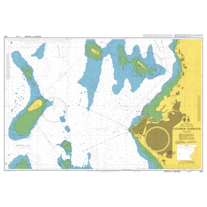
Nautical Chart 3211 Tanzania-Zanzibar Harbour
Price DKK 525.31
Out of stock
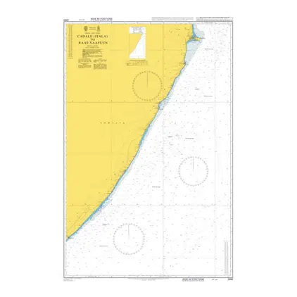
Nautical Chart 2969 Cadale to Raas Xaafuu
Price DKK 525.31
Out of stock
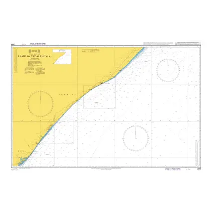
Nautical Chart 2968 Lamu to Cadale (Itala)
Price DKK 525.31
Out of stock
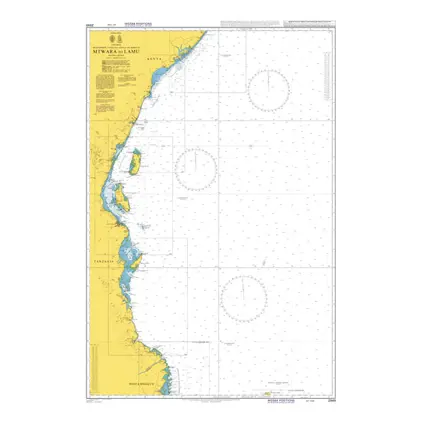
Nautical Chart 2949 Mtwara to Lamu
Price DKK 525.31
Out of stock
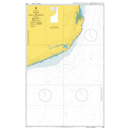
Nautical Chart 2939 Mozambique, Boa Paz
Price DKK 525.31
Out of stock
Previous
1
2
3
4
Next
View on map
Close
Close