Africa E
ADMIRALTY nautical sea charts for East Africa.
View on map
41-60
of
74
products
Select an option
Country not found
List is empty.
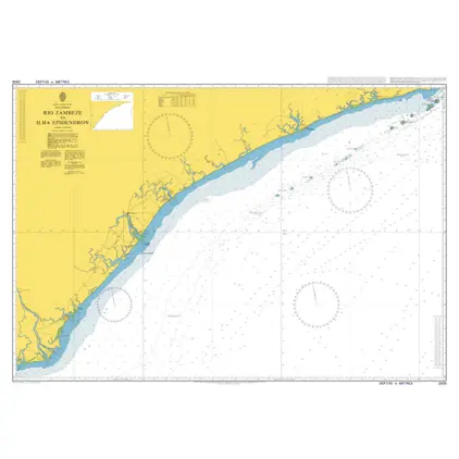
Nautical Chart 2935 Rio Zambeze/Epidendron
Price DKK 525.31
Out of stock
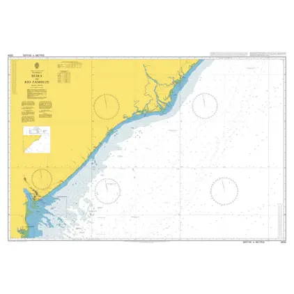
Nautical Chart 2934 Beira to Rio Zambeze
Price DKK 525.31
Out of stock
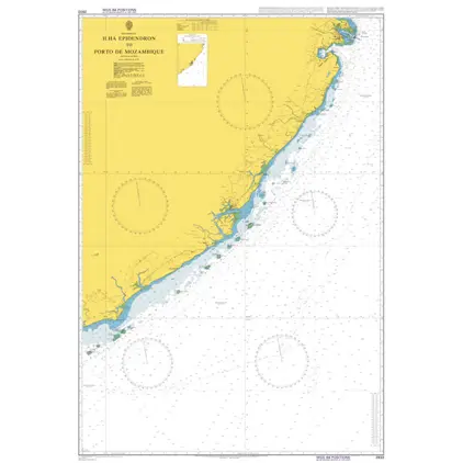
Nautical Chart 2933 Ilha Epidendron
Price DKK 525.31
Out of stock
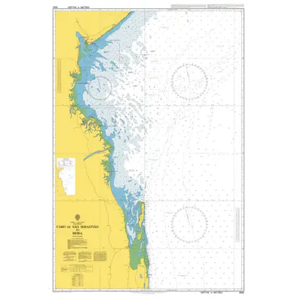
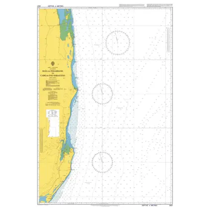
Nautical Chart 2932 Cabo de Sao Sebastiao
Price DKK 525.31
Out of stock
Nautical Chart 2931 Baia de Inhambane
Price DKK 525.31
Out of stock
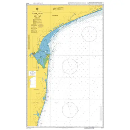
Nautical Chart 2930 Jesser Point to Boa Paz
Price DKK 525.31
Out of stock
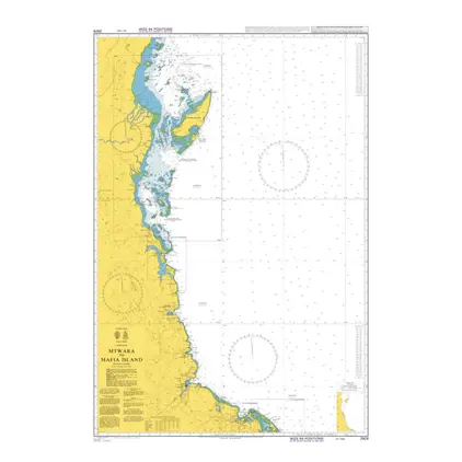
Nautical Chart 2929 Mtwara to Mafia Island
Price DKK 525.31
Out of stock
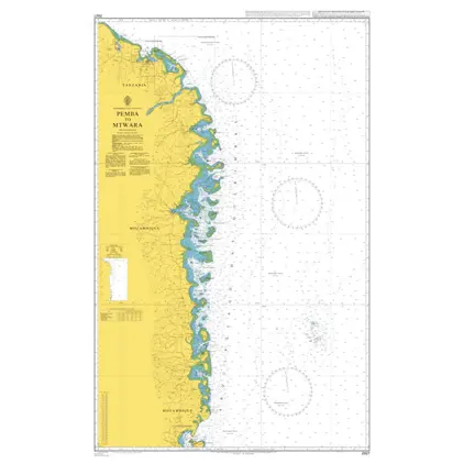
Nautical Chart 2927 Pemba to Mtwara
Price DKK 525.31
Out of stock
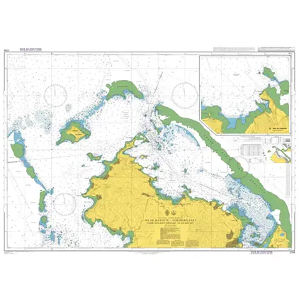
Nautical Chart 2756 Passe des Iles Choazil
Price DKK 525.31
Out of stock
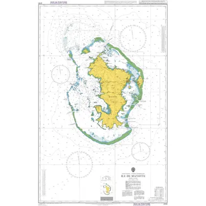
Nautical Chart 2741 Ile Mayotte
Price DKK 525.31
Out of stock
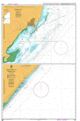
Nautical Chart 1052 Approaches to Kismaay
Price DKK 525.31
Out of stock
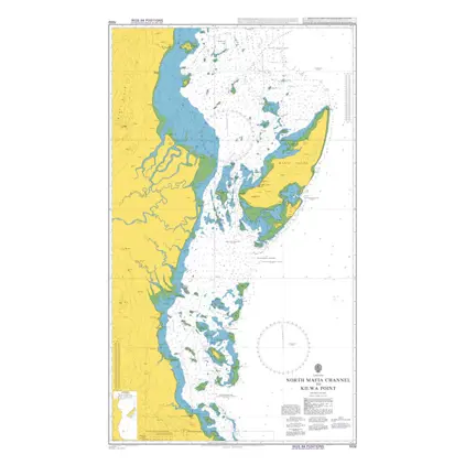
Nautical Chart 1032 North Mafia Channel to Kilwa Point.
Price DKK 525.31
Out of stock
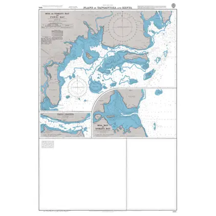
Nautical Chart 866 Tanganyika & Kenya: plans
Price DKK 525.31
Out of stock
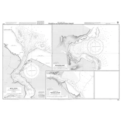
Nautical Chart 865 Tanganyika, coast: plans
Price DKK 525.31
Out of stock
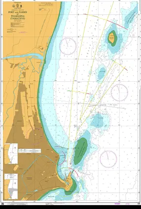
Nautical Chart 696 Port Passes of Toamasina (Tamatave).
Price DKK 525.31
Out of stock
Nautical Chart 695 Approaches to Toamasina (Tamatave).
Price DKK 525.31
Out of stock
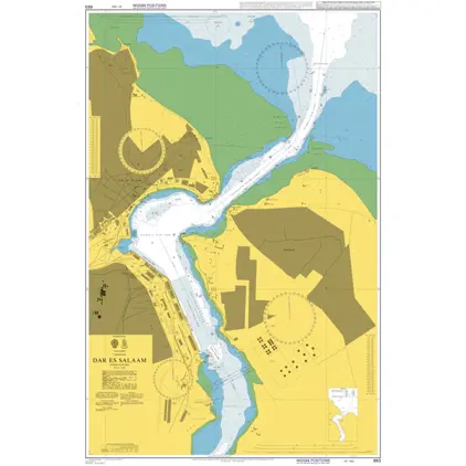
Nautical Chart 693 Tanzania, Dar Es Salaam
Price DKK 525.31
Out of stock
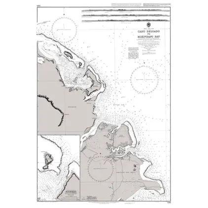
Nautical Chart 690 Cabo Delgado/Mikindani
Price DKK 525.31
Out of stock
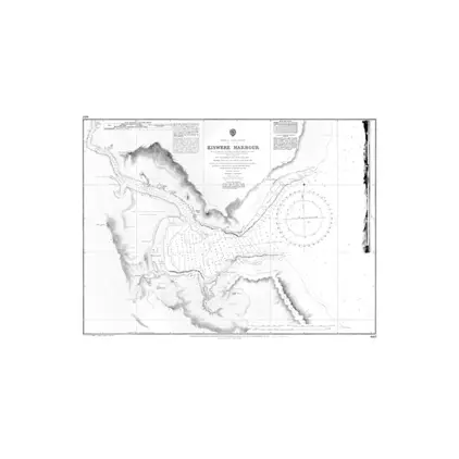
Nautical Chart 687 Kiswere Harbour
Price DKK 525.31
Out of stock
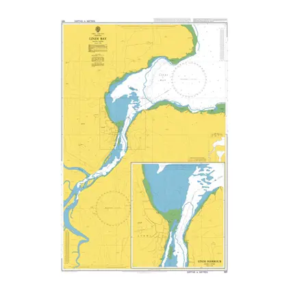
Nautical Chart 681 Lindi Bay/Lindi Harbou
Price DKK 525.31
Out of stock
Previous
1
2
3
4
Next
View on map
Close
Close