Charts

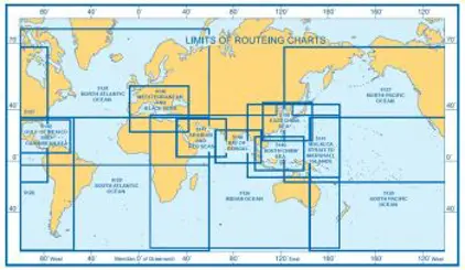
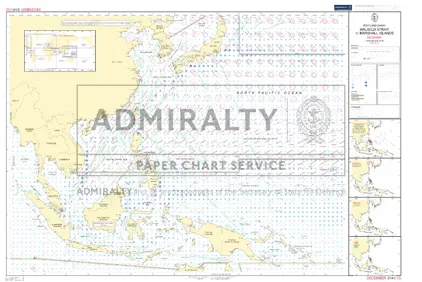
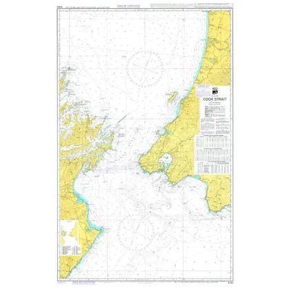
Nautical charts are an indispensable tool and source of information for sailors and mariners. They contain a wide range of important details, including sea depths and the location of buoys and lighthouses, as well as landmarks to help mariners identify their position and orient themselves in relation to the coastline.
View on map
3121-3140 of 5084 products
Select an option
  1. Nautical Chart 2911 Maisel to Pulau Buru

    DKK 477.35
    Out of stock
  2. Nautical Chart 2910 P. Jailamu/P. Serbete

    DKK 477.35
    Out of stock
  3. Nautical Chart 2905 East Loch Tarbert

    DKK 477.35
    Out of stock
  4. Nautical Chart 2904 Usinish-Eigneig Mhor

    DKK 477.35
    Out of stock
  5. Nautical Chart 2903 Pulau Sumba/Pulau Semau

    DKK 477.35
    Out of stock
  6. Nautical Chart 2902 Stokksnes-Dyrhølaey

    DKK 477.35
    Out of stock
  7. Nautical Chart 2901 Glettinganes to Stokksnes

    DKK 477.35
    Out of stock
  8. Nautical Chart 2900 Rauqinupur / Glettinganes

    DKK 477.35
    Out of stock
  9. Nautical Chart 2899 Horn to Rauqinupur

    DKK 477.35
    Out of stock
  10. Nautical Chart 2898 Vestfirdir

    DKK 477.35
    Out of stock
  11. Nautical Chart 2897 Iceland

    DKK 477.35
    Out of stock
  12. Nautical Chart 2896 Port Salalah and app.

    DKK 477.35
    Out of stock
  13. Nautical Chart 2895 Outer app. Port Salala

    DKK 477.35
    Out of stock
  14. Nautical Chart 2894 Tanjung Manimbaya to

    DKK 477.35
    Out of stock
  15. Nautical Chart 2893 Tanjung Rangas/Manimbaya

    DKK 477.35
    Out of stock
  16. Nautical Chart 2892 Pulau Sabaru Tanjung Rangas

    DKK 477.35
    Out of stock
  17. Nautical Chart 2890 App.to Narragansett Bay

    DKK 477.35
    Out of stock
  18. Nautical Chart 2889 Dubayy to Jabal Zannah

    DKK 477.35
    Out of stock
  19. Nautical Chart 2888 Jask to Dubayy and Jazireh-Ye Qeshm

    DKK 477.35
    Out of stock
  20. Nautical Chart 2887 Dubai & Jazireh-ye Qedhm

    DKK 477.35
    Out of stock
View on map
Close