Charts

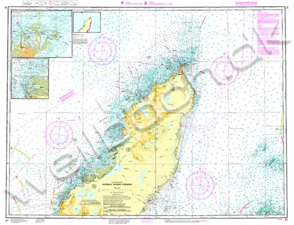
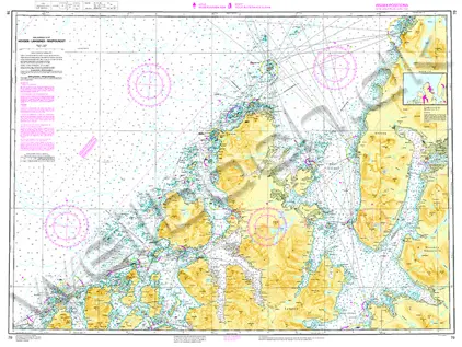
Nautical charts are an indispensable tool and source of information for sailors and mariners. They contain a wide range of important details, including sea depths and the location of buoys and lighthouses, as well as landmarks to help mariners identify their position and orient themselves in relation to the coastline.

View on map
281-300 of 6085 products
Select an option
  1. Nautical Chart 42 Breidafjørdur Rif. m.fl

    Price DKK 327.59
    Out of stock
  2. Nautical Chart 7 Risør - Arendal

    Price DKK 269.30
    Out of stock
  3. Nautical Chart M26 Split to Dubrovnik

    Price DKK 272.20
    Out of stock
  4. Serie 03 Sandefjord-Porsgrunn.

    Price DKK 450.11
    Out of stock
  5. Nautical Chart SE 413 Hindersøharun -Tøre

    Price DKK 266.81
    Out of stock
  6. Holland 2 IJsselmeer nördlich.

    Price DKK 323.96
    Out of stock
    Book
  7. Nautical Chart G121 The Inland Sea

    Price DKK 272.20
    Out of stock
  8. Nautical Chart 100 North Atlantic Ocean Passage

    Price DKK 272.20
    Out of stock
  9. Nautical Chart SE 839 Stenshuvud-Trelleborg

    Price DKK 266.81
    Out of stock
  10. Deviationstabel & -kurve

    Price DKK 127.06
    Out of stock
  11. Nautical Chart 1534 Great Yarmouth & App

    Price DKK 477.35
    Out of stock
  12. Nautical Chart 2182C North Sea-North Sheet

    Price DKK 477.35
    Out of stock
  13. Lineal, Linex super, 30 cm

    Price DKK 56.25
    Out of stock
  14. Nautical Chart B5 Martinique to Grenada, Tobago & Barbados

    Price DKK 272.20
    Out of stock
  15. Nautical Chart SE 622 Slætbaken-St. Askø

    Price DKK 266.81
    Out of stock
  16. POD Nautical Chart 107 Ålborg Havn (Limfjorden)

    Price DKK 275.00
    Out of stock
  17. POD Nautical Chart 1136 Ikersuaq - Narsaq

    Price DKK 275.00
    Out of stock
  18. Nautical Chart 10 Ny Hellesund - Lindesnes.

    Price DKK 269.30
    Out of stock
  19. Slusehåndbogen

    Price DKK 249.00
    Out of stock
    Book
  20. Ostkusten

    Price DKK 533.63
    Out of stock
View on map
Close