Yachting Charts

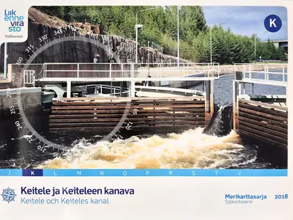
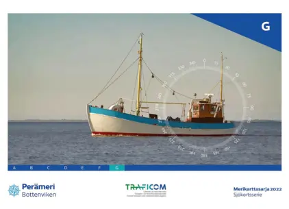
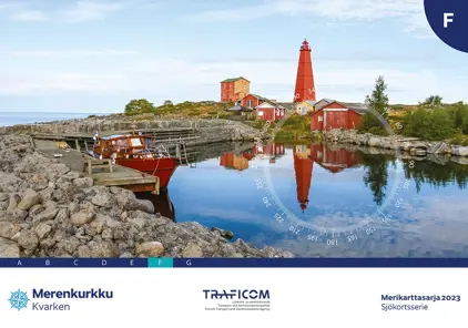
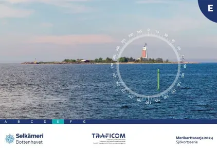
Our yachting charts are the perfect fit for leisure sailors. Designed in a convenient space-saving A2 size, these charts offer the essential nautical information you need. While standard charts are in A0 size and updated weekly, our yachting charts are updated annually, catering to your leisurely pace. Discover paper charts for Scandinavia, Northern Europe, Mediterranean, and Caribbean at your fingertips!
View on map
661-680 of 791 products
Select an option
  1. Nautical Chart 5600-9 River Hamble t Cowes

    DKK 477.35
    Out of stock
  2. Nautical Chart 5600-8 Ent. to River Hamble

    DKK 477.35
    Out of stock
  3. Nautical Chart 5600-7 Yarmouth t Beaulieu

    DKK 477.35
    Out of stock
  4. Nautical Chart 5600-6 Beaulieu River

    DKK 477.35
    Out of stock
  5. Nautical Chart 5600-5 Needles Channel

    DKK 477.35
    Out of stock
  6. Nautical Chart 5600-4 Lymington River

    DKK 477.35
    Out of stock
  7. Nautical Chart 5600-3 Eastern Solent & App

    DKK 477.35
    Out of stock
  8. Nautical Chart 5600-2 Western Solent & Ap

    DKK 477.35
    Out of stock
  9. Nautical Chart 5600-1 Outer App to Solent

    DKK 477.35
    Out of stock
  10. Friesland

    DKK 463.21
    Out of stock
    Book
  11. ANWB Waterkaart 13 West-Braban

    DKK 215.91
    Out of stock
    Book
  12. ANWB Wateratlas Friesland

    DKK 324.90
    Out of stock
    Book
  13. ANWB Waterkaart 14 Zeeuwse De.

    DKK 324.90
    Out of stock
    Book
  14. ANWB Waterkaart 18 IJsselmeer

    DKK 324.90
    Out of stock
    Book
  15. ANWB Waterkaart 21 Vinkeveense

    DKK 324.90
    Out of stock
    Book
  16. ANWB Waterkaart 6 Twentekanal.

    DKK 324.90
    Out of stock
    Book
  17. ANWB Waterkaart 15 Biesbosch

    DKK 324.90
    Out of stock
    Book
  18. ANWB Waterkaart 20 Wadden

    DKK 324.90
    Out of stock
    Book
  19. ANWB Waterkaart 12 Hollandse D

    DKK 324.90
    Out of stock
    Book
  20. ANWB Waterkaart 19 Nederlandse

    DKK 324.90
    Out of stock
    Book
View on map
Close