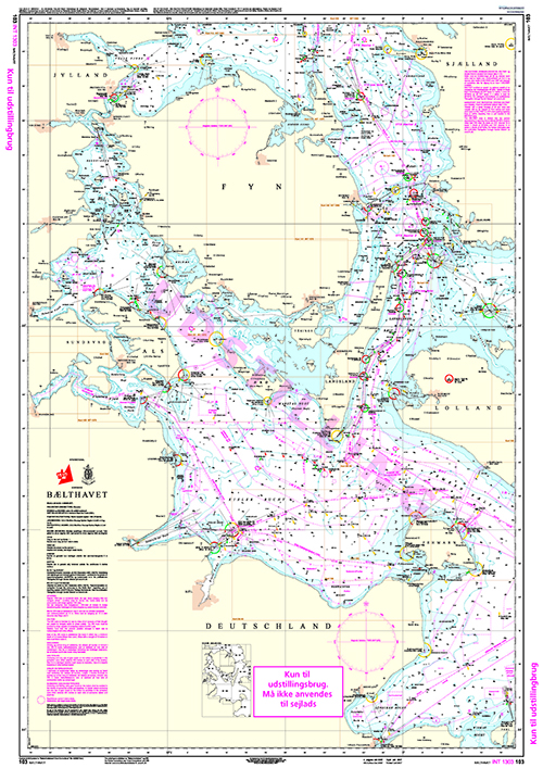
POD Nautical Chart 103 Bælthavet
| Product number | DK01030 |
|---|---|
| Price | DKK 275.00 |
| Price ex. VAT | DKK 220.00 |
| Chart no. | 103 |
| Int. Chart no. | 1303 |
| Edition | 13 |
| Released | April 2025 |
| Scale | 1:200000 |
| Author | Geodatastyrelsen |
Price
DKK 275.00
Save
POD GST103 Bælthavet
Chart 103 (Bælthavet) covers surrounding waters of Funen, the westcoast of Zealand to Asnæs as well as Østersøen from Flensborg to Femerns eastside. It includes a note regarding work areas related to the construction of the Femern Bælt Tunnel.
You cannot approach Kiel and Lübeck with this chart.
Corrected up to date. Print on Demand (POD)