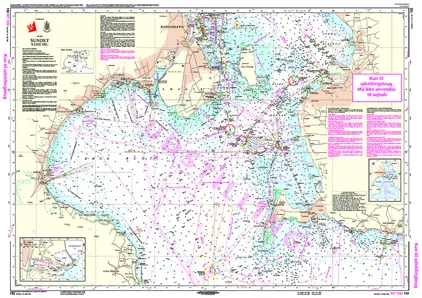
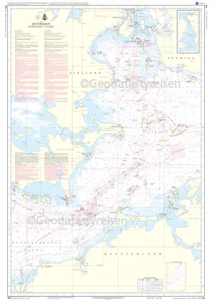
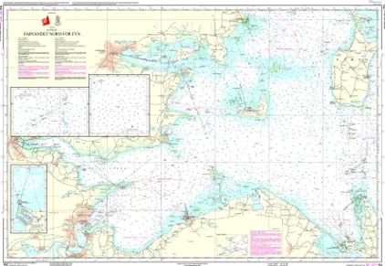
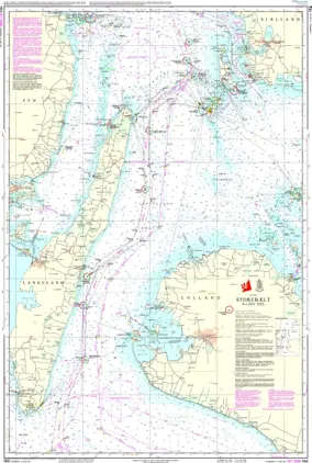
Denmark
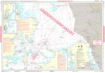
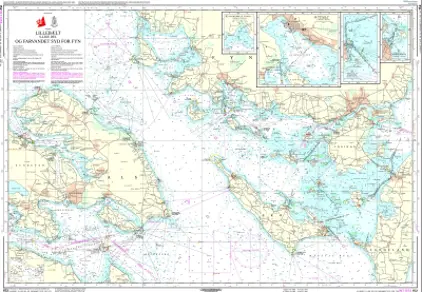
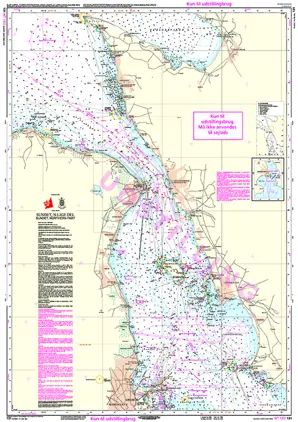
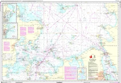
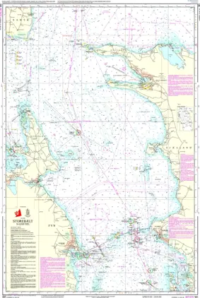
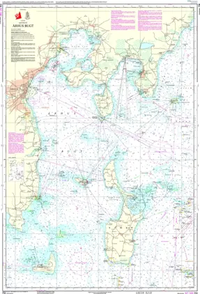
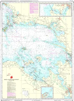
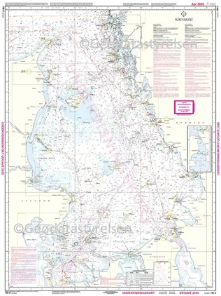
The Danish Geodata Agency (Geodatastyrelsen) is Denmark's official producer of nautical charts of the waters surrounding Denmark.
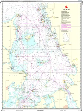
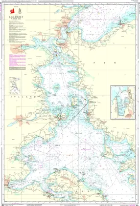
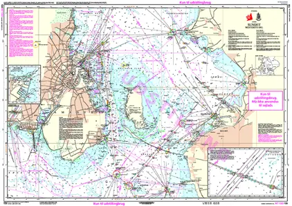
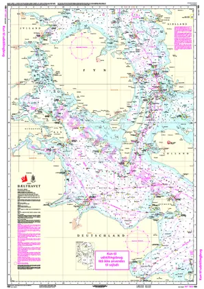
Shop high-quality nautical charts from the Danish Hydrographic Office (Geodatastyrelsen). All Danish charts are Print on Demand, ensuring you always receive the most up-to-date version.
Choose from a range of chart scales to fit your route planning and safe navigation.
Use the interactive map (click the blue bar on the right) to explore chart coverage, see overlaps, and zoom in or out for a detailed overview.
Navigate with confidence and start exploring now!