UKHO Charts
Browse our selection of detailed sea charts from the United Kingdom Hydrographic Office.
View on map
1941-1960
of
3765
products
Select an option
Country not found
List is empty.
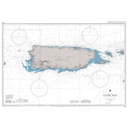
Nautical Chart 3408 Puerto Rico
Price DKK 525.31
Out of stock
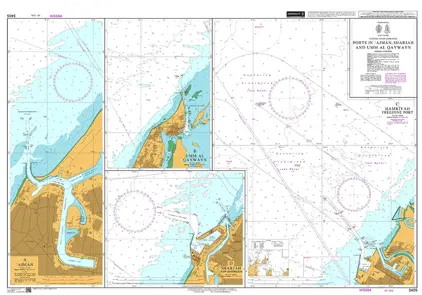
Nautical Chart 3405 Ports in Ajman Sharjah
Price DKK 525.31
Out of stock
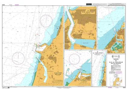
Nautical Chart 3404 Ports in Ras al Khaimah
Price DKK 525.31
Out of stock
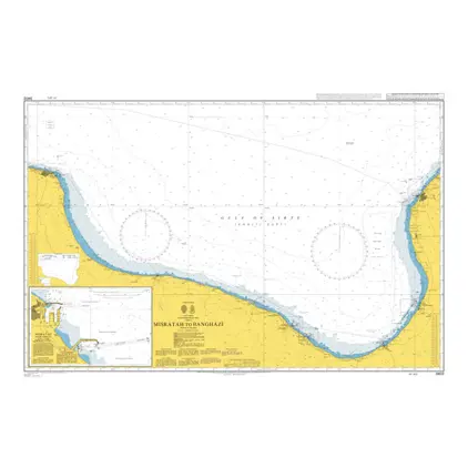
Nautical Chart 3402 Misratah to Banghazi
Price DKK 525.31
Out of stock
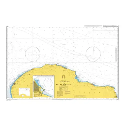
Nautical Chart 3401 Benghazi/Ra's Muraysah
Price DKK 525.31
Out of stock
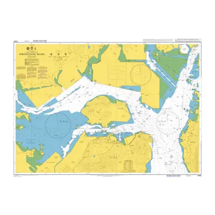
POD 3391 App to Gwangyang Hang
Price DKK 525.31
Out of stock
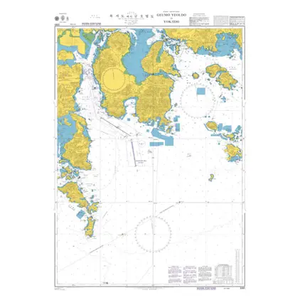
Nautical Chart 3390 Korea, Kwangyang Hang
Price DKK 525.31
Out of stock
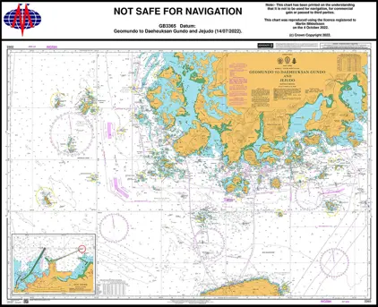
Nautical Chart 3365 Geomundo to Daeheuksan Gundo and Jejudo
Price DKK 525.31
Out of stock
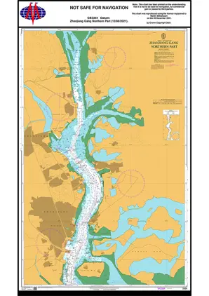
Nautical Chart 3364 Zhanjiang Gang, Northern Part
Price DKK 525.31
Out of stock
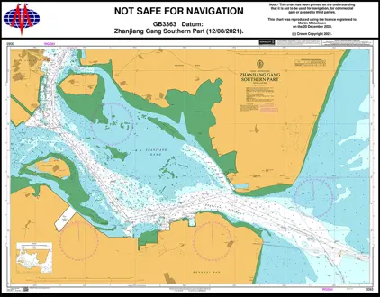
Nautical Chart 3363 Zhanjiang Gang, Southern Part
Price DKK 525.31
Out of stock
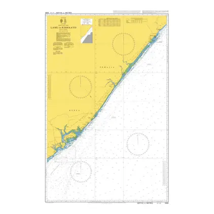
Nautical Chart 3362 Lamu to Kismaayo
Price DKK 525.31
Out of stock
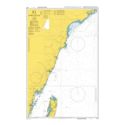
Nautical Chart 3361 Pemba Island to Lamu
Price DKK 525.31
Out of stock
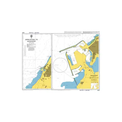
Nautical Chart 3352 Approaches to Banghazi
Price DKK 525.31
Out of stock
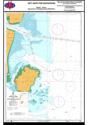
Nautical chart 3351 App. Zhanjiang Gang
Price DKK 525.31
Out of stock
Nautical Chart 3350 Libya-Gulf of Sirte
Price DKK 525.31
Out of stock
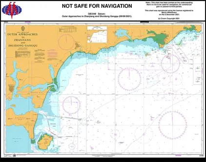
Nautical Chart 3348 Outer App. Zhanjiang
Price DKK 525.31
Out of stock
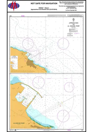
Nautical Chart 3347 Al Khums Approaches
Price DKK 525.31
Out of stock
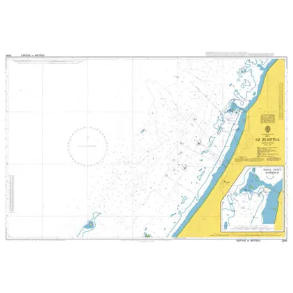
Nautical Chart 3346 Ez Zueitina, Libya
Price DKK 525.31
Out of stock
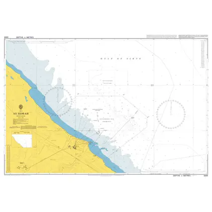
Nautical Chart 3344 As Sidrah, Libya
Price DKK 525.31
Out of stock
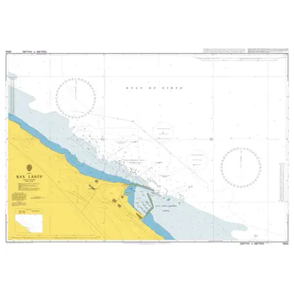
Nautical Charts 3343 Libya, Ra's Lanuf
Price DKK 525.31
Out of stock
Previous
1
...
96
97
98
99
100
...
189
Next
View on map
Close
Close