UKHO Charts
Browse our selection of detailed sea charts from the United Kingdom Hydrographic Office.
View on map
1981-2000
of
3765
products
Select an option
Country not found
List is empty.
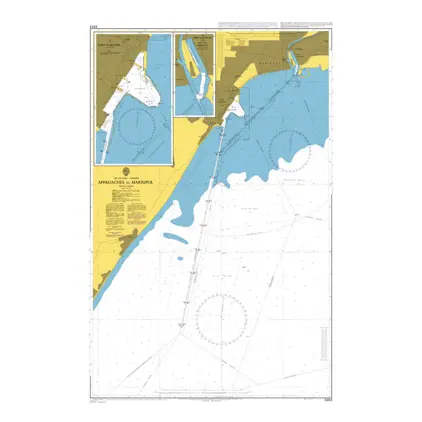
Nautical Chart 3303 Approaches to Mariupo
Price DKK 525.31
Out of stock
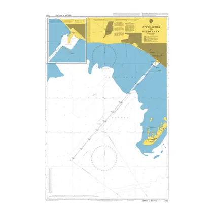
Nautical Chart 3302 App.to Berdyans'k
Price DKK 525.31
Out of stock
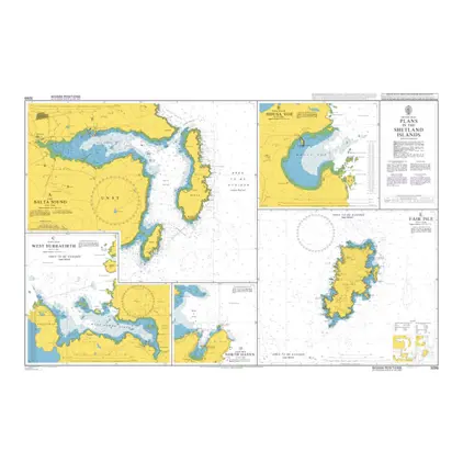
Nautical Chart 3299 Plans Shetlands Island
Price DKK 525.31
Out of stock
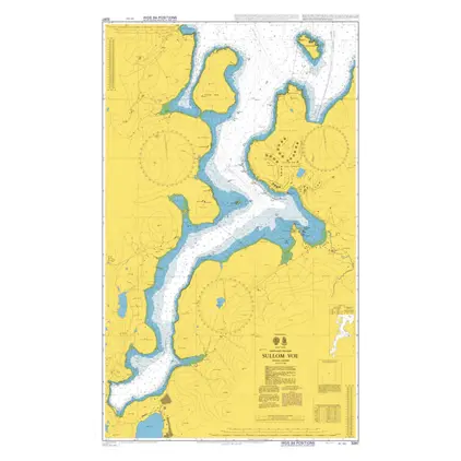
Nautical Chart 3297 Shetland Island Sullom Voe
Price DKK 525.31
Out of stock
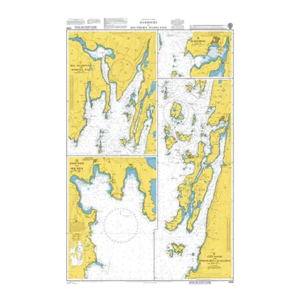
Nautical Chart 3294 Shetland Island: Hbr. Mainland
Price DKK 525.31
Out of stock
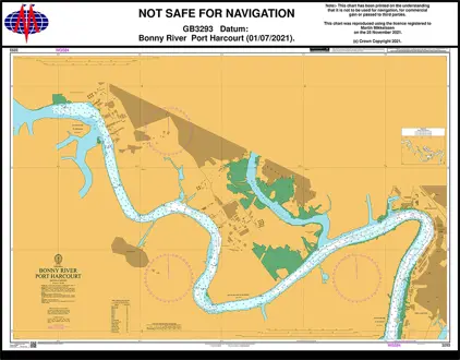
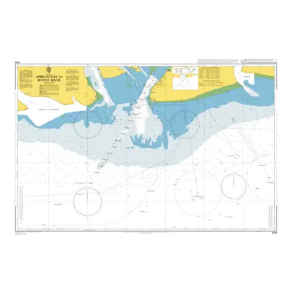
Nautical Chart 3293 Bonny River Port Harcourt
Price DKK 525.31
Out of stock
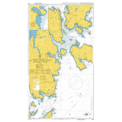
Nautical Chart 3292 East.app.to Yell Sound
Price DKK 525.31
Out of stock
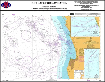
Nautical Chart 3291 Cabinda & Malongo Terminals
Price DKK 525.31
Out of stock
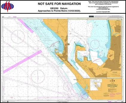
Nautical Chart 3290 App Pointe-Noire
Price DKK 525.31
Out of stock
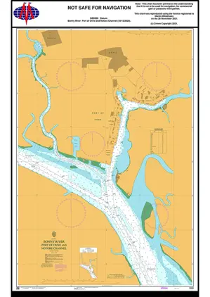
Nautical Chart 3289 Port of Onne and Notore Channel
Price DKK 525.31
Out of stock
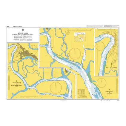
Nautical Chart 3288 Ford Pt. to Port Harcourt
Price DKK 525.31
Out of stock
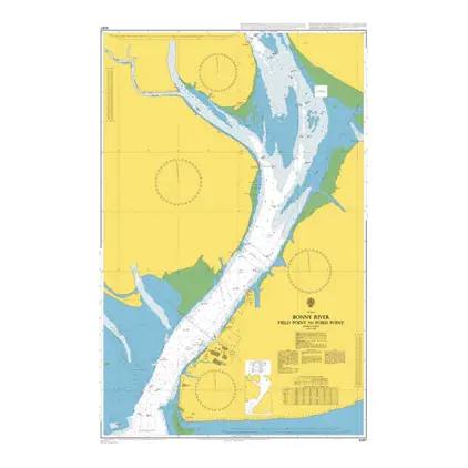
Nautical Chart 3287 Field Point to Ford Point
Price DKK 525.31
Out of stock
Nautical Chart 3286 Approaches Bonny River
Price DKK 525.31
Out of stock
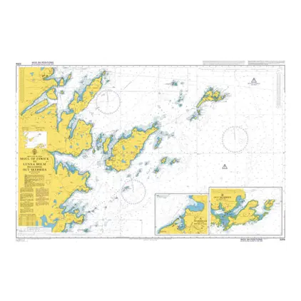
Nautical Chart 3284 Moul of Eswick to Lunna Holm
Price DKK 525.31
Out of stock
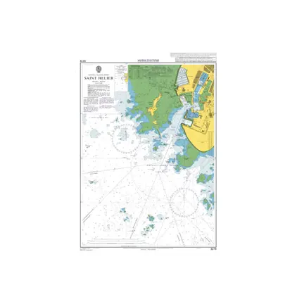
Nautical Chart 3278 Jersey, Saint Helier
Price DKK 525.31
Out of stock
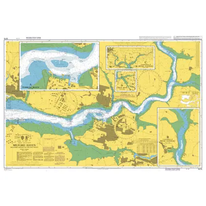
Nautical Chart 3275 Milford Dock/ Picton Point
Price DKK 525.31
Out of stock
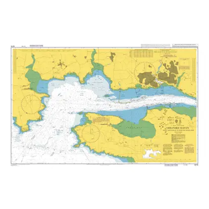
Nautical Chart 3274 St. Ann's Hd./Newton P
Price DKK 525.31
Out of stock
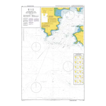
Nautical Chart 3273 Entr. to Milford Haven
Price DKK 525.31
Out of stock
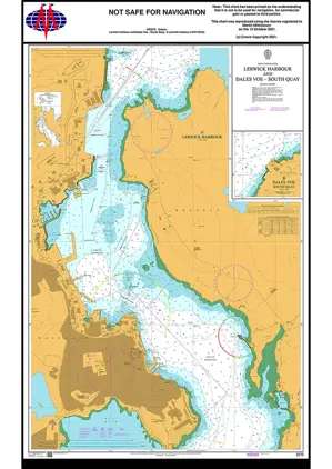
Nautical Chart 3270 Lerwick Harbour/Dales Voe
Price DKK 525.31
Out of stock
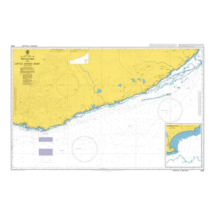
Nautical Chart 3265 Weligama-Lt. Basses Reef
Price DKK 525.31
Out of stock
Previous
1
...
98
99
100
101
102
...
189
Next
View on map
Close
Close