UKHO Charts
Browse our selection of detailed sea charts from the United Kingdom Hydrographic Office.
View on map
441-460
of
3720
products
Select an option
Country not found
List is empty.
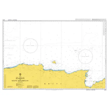
Nautical Chart 3678 Kriti N. Coast Rethimnon
Price DKK 525.31
Out of stock
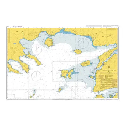
Nautical Chart 1086 Edremit Körfezi to Strimonikos Kolpos
Price DKK 525.31
Out of stock
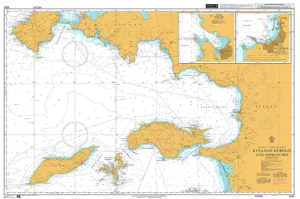
Nautical Chart 1057 Kusadasi Körfezi and app.
Price DKK 525.31
Out of stock
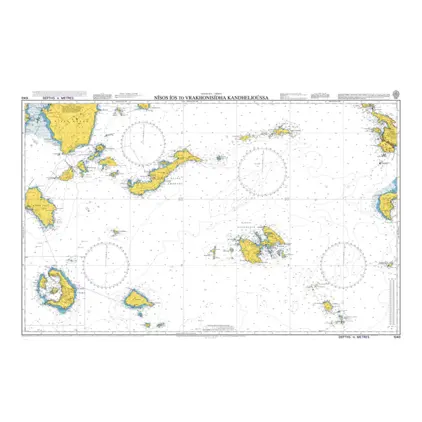
Nautical Chart 1056 Nisos Kalimnos to Ikaria
Price DKK 525.31
Out of stock
Nautical Chart 1040 Greece Nisos Ios
Price DKK 525.31
Out of stock
Nautical Chart 1037 Nisída Falko. to Nísos Los
Price DKK 525.31
Out of stock
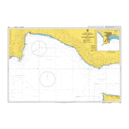
Nautical Chart 237 Taslik Burnu to Anamur Burnu
Price DKK 525.31
Out of stock
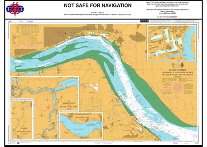
Nautical Chart 3497 Immingham/Humber Bridge
Price DKK 525.31
Out of stock
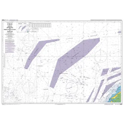
Nautical Chart 1632 Friesl. Junction/Vlieland
Price DKK 525.31
Out of stock
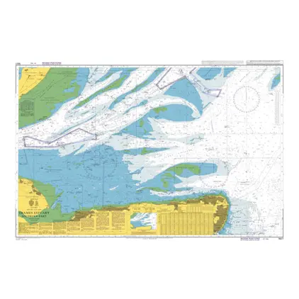
Nautical Chart 1607 Thames Estuary, southern
Price DKK 525.31
Out of stock
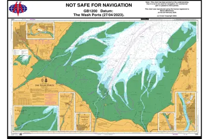
Nautical Chart 1200 The Wash Ports
Price DKK 525.31
Out of stock
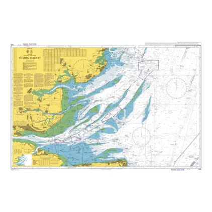
Nautical Chart 1183 Thames Estuary
Price DKK 525.31
Out of stock
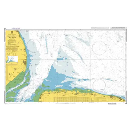
Nautical Chart 108 Approaches to the Wash
Price DKK 525.31
Out of stock
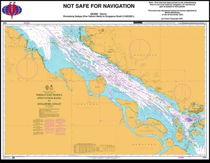
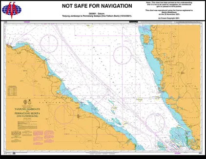
Nautical Chart 3902 Permatang Sedepa
Price DKK 525.31
Out of stock
Nautical Chart 3901 Tanjung Jamboaye
Price DKK 525.31
Out of stock
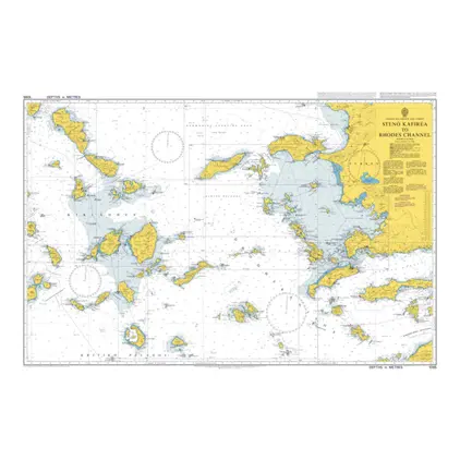
Nautical Chart 1095 Steno Kafirea to Rhodes Channel
Price DKK 525.31
Out of stock
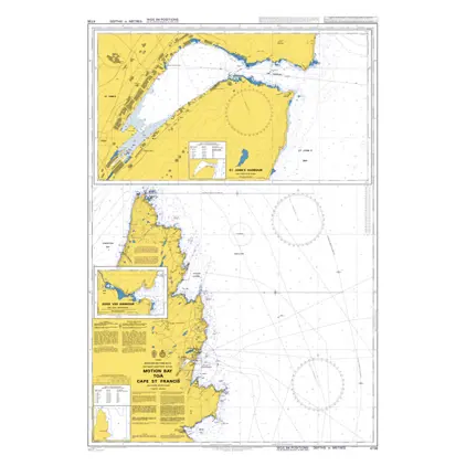
Nautical Chart 4736 Motion Bay /C. St Fran
Price DKK 525.31
Out of stock
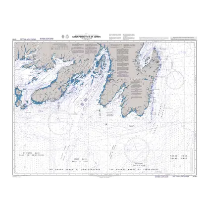
Nautical Chart 4734 Saint-Pierre Saint Johns
Price DKK 525.31
Out of stock
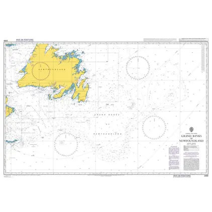
Nautical Chart 2666 Grand Banks of Newfoundland
Price DKK 525.31
Out of stock
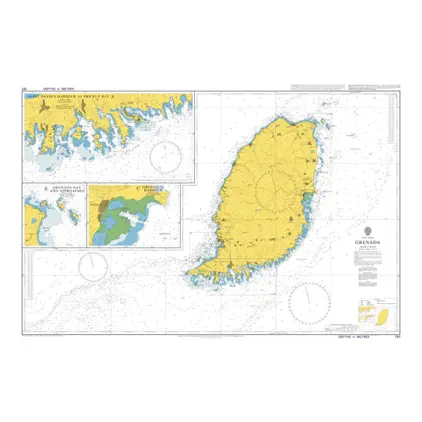
Nautical Chart 797 West Indies, Grenada
Price DKK 525.31
Out of stock
Previous
1
...
21
22
23
24
25
...
186
Next
View on map
Close
Close