UKHO Charts
Browse our selection of detailed sea charts from the United Kingdom Hydrographic Office.
View on map
421-440
of
3720
products
Select an option
Country not found
List is empty.
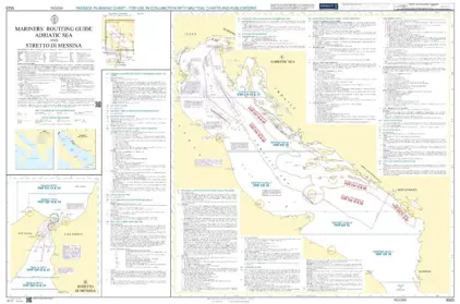
Mariners' Routeing Guide 5523 MRG Adriatic Sea and
Price DKK 500.30
Out of stock
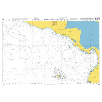
POD 4811 Mexico to Ecuador
Price DKK 525.31
Out of stock
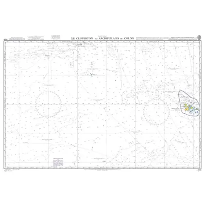
Nautical Chart 4618 Ile Clipperton
Price DKK 525.31
Out of stock
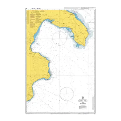
Nautical Chart 187 Punta Stilo to Brindis
Price DKK 525.31
Out of stock
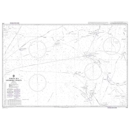
Nautical Chart 278 North Sea Offshore Charts Sheet 5.
Price DKK 525.31
Out of stock
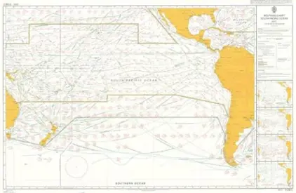
5128(12) South Pacific Ocean Routeing Chart DECEMBER
Price DKK 247.98
Out of stock
5128(11) South Pacific Ocean Routeing Chart NOVEMBER
Price DKK 247.98
Out of stock
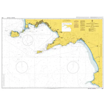
Nautical Chart 908 Golfo di Napoli and Golfo di Salerno.
Price DKK 525.31
Out of stock
Nautical Chart 869 Hunnebostrand to Uddevalla and Gullholmen.
Price DKK 525.31
Out of stock
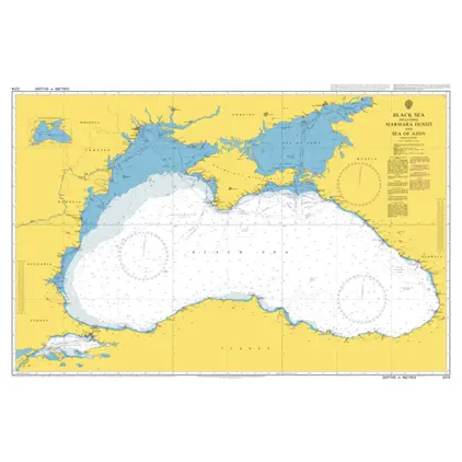
Nautical Chart 2214 Black Sea & Sea of Azov
Price DKK 525.31
Out of stock
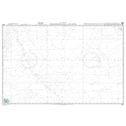
Nautical Chart 4613 Chatham Isl.to Ile Rapa
Price DKK 525.31
Out of stock
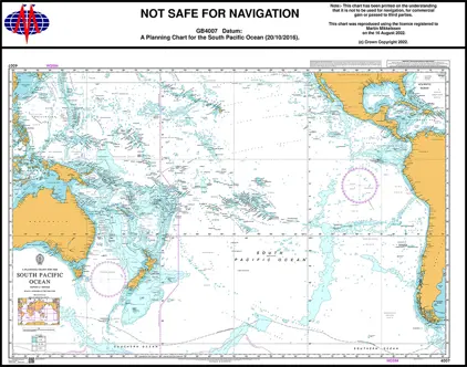
Nautical Chart 4007 South Pac. Ocean, Planning Chart
Price DKK 525.31
Out of stock
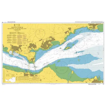
Nautical Chart 736 Granton and Burntisland to Rosyth
Price DKK 525.31
Out of stock
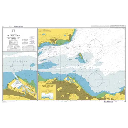
Nautical Chart 735 Firth of Forth app. to Leith and Burnt Island
Price DKK 525.31
Out of stock
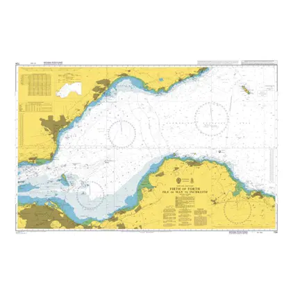
Nautical Chart 734 Firth of Forth Isle of May to Inchkeith
Price DKK 525.31
Out of stock
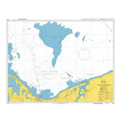
Nautical Chart 2679 Zatoka Pomorska
Price DKK 525.31
Out of stock
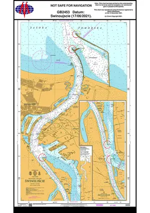
Nautical Chart 2453 Baltic Sea, Swinoujscie
Price DKK 525.31
Out of stock
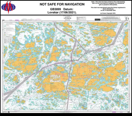
Nautical Chart 3899 Lovskar
Price DKK 525.31
Out of stock
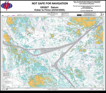
Nautical Chart 3827 Kökar to Finnö
Price DKK 525.31
Out of stock
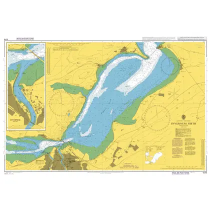
Nautical Chart 1078 Inverness Firth
Price DKK 525.31
Out of stock
Previous
1
...
20
21
22
23
24
...
186
Next
View on map
Close
Close