UKHO Charts
Browse our selection of detailed sea charts from the United Kingdom Hydrographic Office.
View on map
241-260
of
3720
products
Select an option
Country not found
List is empty.
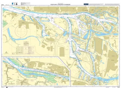
Nautical Chart DE 48 Elbe Lühesand to Hamburg
Price DKK 525.31
Out of stock
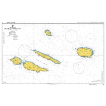
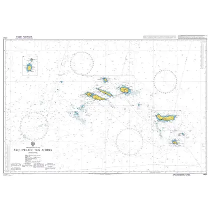
Nautical Chart 1956 Arquipelago dos Azore
Price DKK 525.31
Out of stock
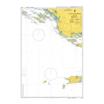
Nautical Chart 2774 Otok vis to Sibenik
Price DKK 525.31
Out of stock
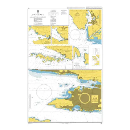
Nautical Chart 269 Ploce and Split with Adjacent Harbours
Price DKK 525.31
Out of stock
Nautical Chart 1411 British Isles, Irish
Price DKK 525.31
Out of stock
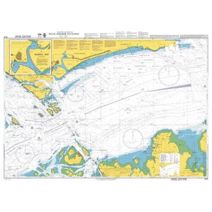
Nautical Chart 4041 Pulau Sebarok to Changi
Price DKK 525.31
Out of stock
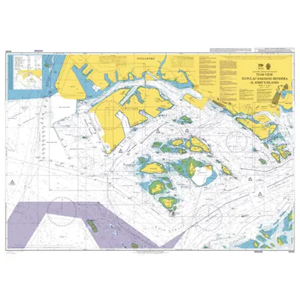
Nautical Chart 4040 Tuas View / S. John's
Price DKK 525.31
Out of stock
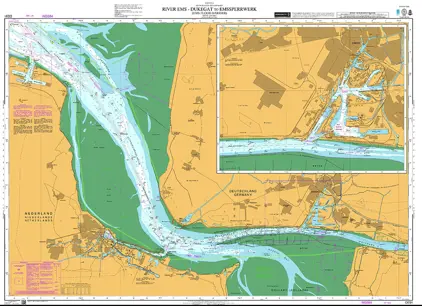
Nautical Chart DE 91 Dukegat Emssperrwerk
Price DKK 525.31
Out of stock
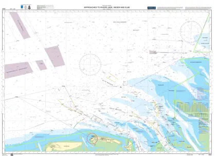
Nautical Chart DE 2 App Rivers Jade Weser & Elbe
Price DKK 525.31
Out of stock
Nautical Chart 2678 Zalew Szczecinski, s. p
Price DKK 525.31
Out of stock
Nautical Chart 2677 Zalew Szczecinski, n. p
Price DKK 525.31
Out of stock
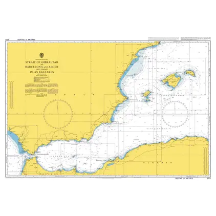
Nautical Chart 2717 Cadiz to Barcelona
Price DKK 525.31
Out of stock
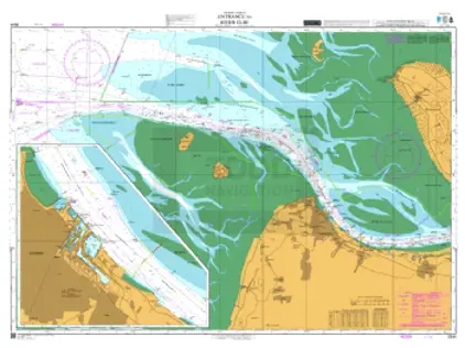
Nautical Chart DE 44 Entrance River Elbe
Price DKK 525.31
Out of stock
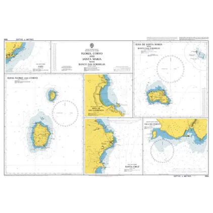
Nautical Chart 1959 Corvo and Santa Maria
Price DKK 525.31
Out of stock
Nautical Chart 1950 Arquipelago dos Acores
Price DKK 525.31
Out of stock
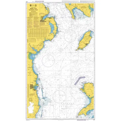
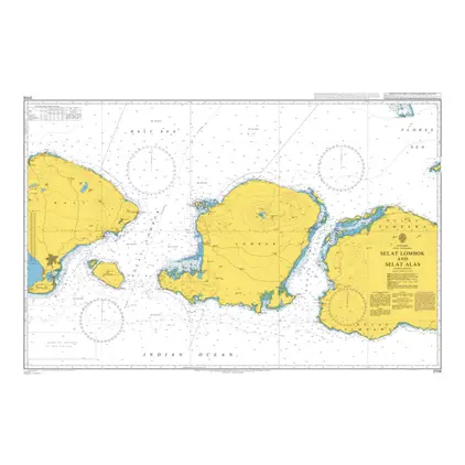
Nautical Chart 3706 Selat Lombok and Alas
Price DKK 525.31
Out of stock
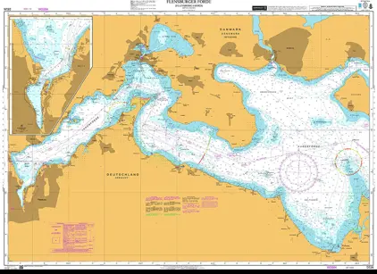
Nautical Chart DE 26 Flensborg Fjord
Price DKK 525.31
Out of stock
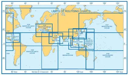
5147(1) Arabian & Red Sea Routeing Chart JANUARY
Price DKK 247.98
Out of stock
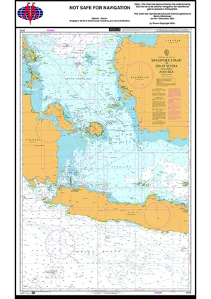
Nautical Chart 2470 Singapore Strait
Price DKK 525.31
Out of stock
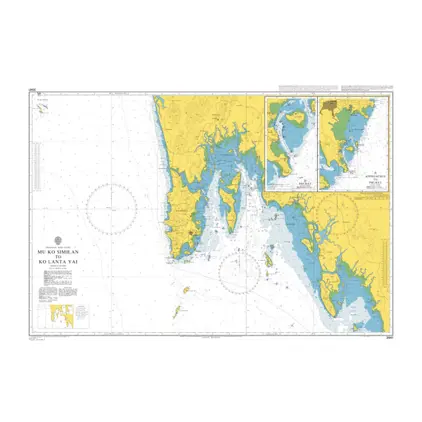
Nautical Chart 3941 Mu Ko Similan/ Lanta
Price DKK 525.31
Out of stock
Previous
1
...
11
12
13
14
15
...
186
Next
View on map
Close
Close