Imray Charts
Browse our selection of detailed sea charts from Imray.
View on map
41-60
of
184
products
Select an option
Country not found
List is empty.
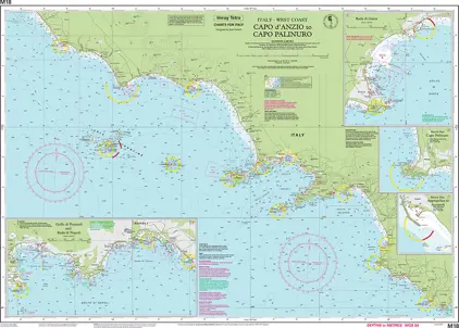
Nautical Chart M18 Capo d Anzio t Capo Palinuro
Price DKK 260.49
Out of stock
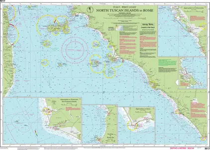
Nautical Chart M17 North Tuscan Islands to Rome
Price DKK 260.49
Out of stock
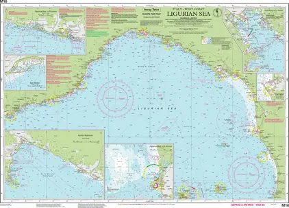
Nautical Chart M16 Ligurian Sea
Price DKK 260.49
Out of stock
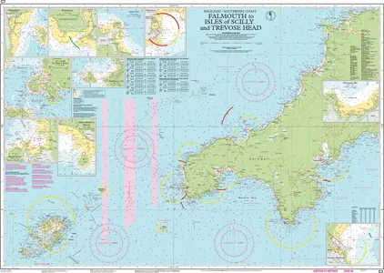
Nautical Chart C7 Falmouth to Isles of Scilly and Trevose Head
Price DKK 260.49
Out of stock
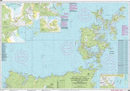
Nautical Chart C68 Cape Wrath to Wick and the
Price DKK 260.49
Out of stock
Nautical Chart E1 Arquipélago dos Açores
Price DKK 249.61
Out of stock
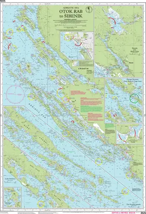
Nautical Chart M25 Otok Rab to Sibenik
Price DKK 260.49
Out of stock
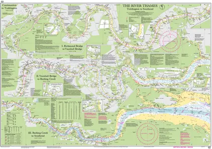
Nautical Chart C 2 The River Thames, Teddington to Southend
Price DKK 260.49
Out of stock
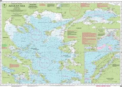
Nautical Chart G2 Aegean Sea (North)
Price DKK 260.49
Out of stock
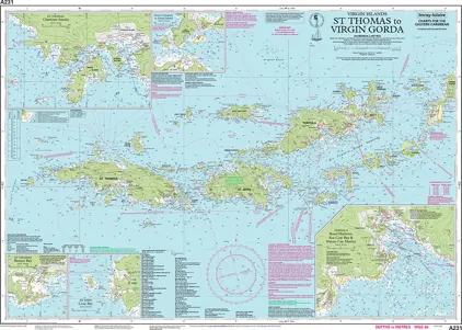
Nautical Chart A231 St Thomas to Virgin Gorda
Price DKK 238.73
Out of stock
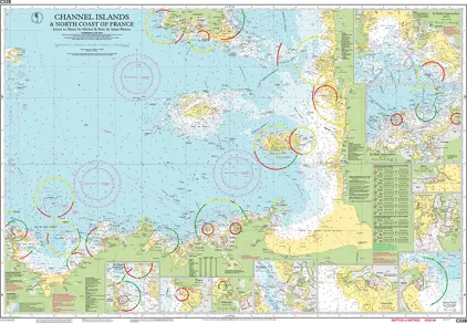
Nautcal Chart C33B Channel Islands and North Coast of France
Price DKK 238.73
Out of stock
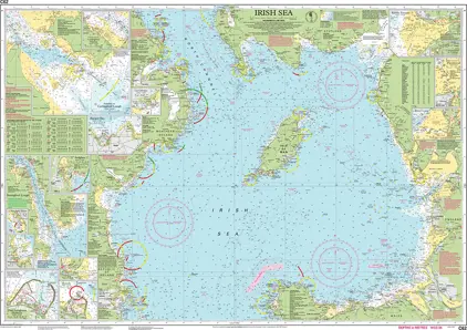
Nautical Chart C62 Irish Sea
Price DKK 260.49
Out of stock
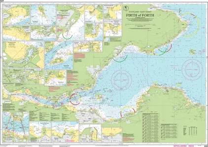
Nautical Chart C27 Firth of Forth
Price DKK 260.49
Out of stock
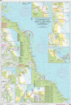
Nautical Chart C24 Flamborough Head to Fife Ness
Price DKK 260.49
Out of stock
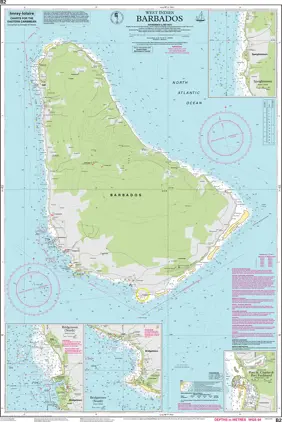
Nautical Chart B2 Barbados
Price DKK 260.49
Out of stock
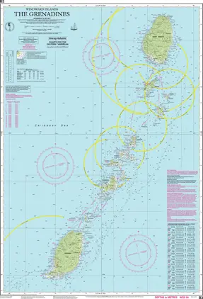
Nautical Chart B3 The Grenadines
Price DKK 260.49
Out of stock
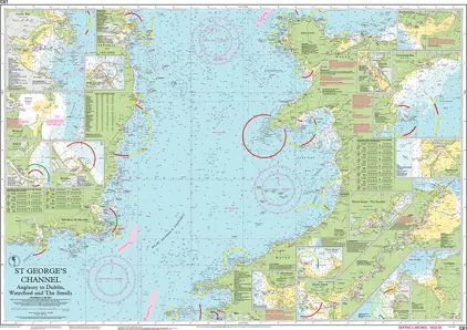
Nautical Chart C61 St George's Channel
Price DKK 260.49
Out of stock
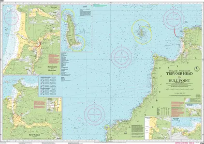
Nautical Chart C58 Trevose Head to Bull Point
Price DKK 260.49
Out of stock
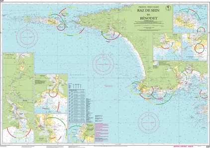
Nautical Chart C37 Raz de Sein to Bénodet
Price DKK 260.49
Out of stock
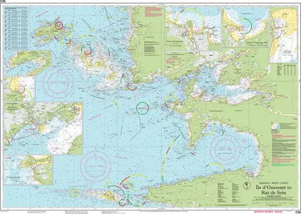
Nautical Chart C36 Île d Ouessant to Raz de Sein
Price DKK 260.49
Out of stock
Previous
1
2
3
4
5
...
10
Next
View on map
Close
Close