Imray Charts
Browse our selection of detailed sea charts from Imray.
View on map
21-40
of
184
products
Select an option
Country not found
List is empty.
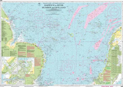
Nautical Chart C25 Harwich to River Humber and Holland
Price DKK 260.49
Out of stock
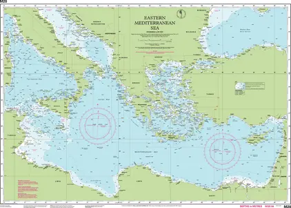
Nautical Chart M20 Eastern Mediterranean
Price DKK 260.49
Out of stock
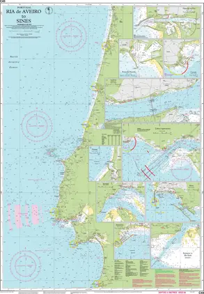
Nautical Chart C49 Ria de Aveiro to Sines
Price DKK 260.49
Out of stock
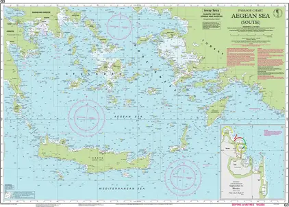
Nautical Chart G3 Aegean Sea (South)
Price DKK 260.49
Out of stock
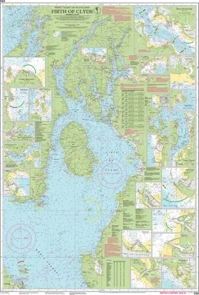
Nautical Chart C63 Firth of Clyde
Price DKK 260.49
Out of stock
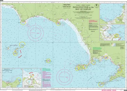
Nautical Chart M46 Isole Pontine to the Bay of Naples
Price DKK 260.49
Out of stock
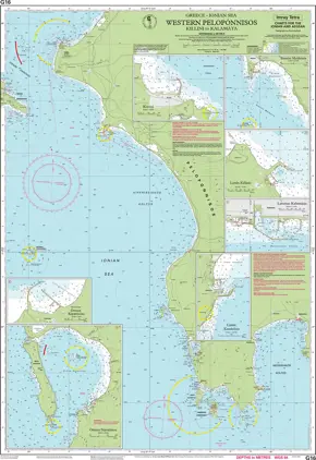
Nautical Chart G16 Western Pelopónnisos
Price DKK 260.49
Out of stock
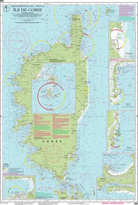
Nautical Chart M6 Île de Corse
Price DKK 260.49
Out of stock
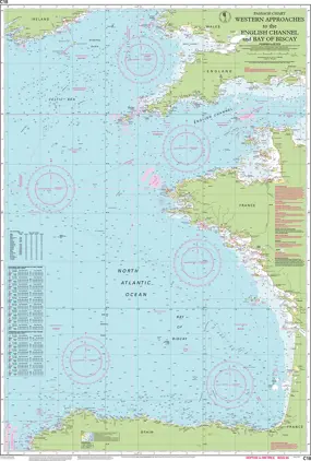
Nautical Chart C18 Western Approaches to the English Channel and Bay of Biscay
Price DKK 260.49
Out of stock
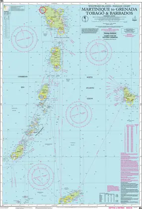
Nautical Chart B5 Martinique to Grenada, Tobago & Barbados
Price DKK 260.49
Out of stock
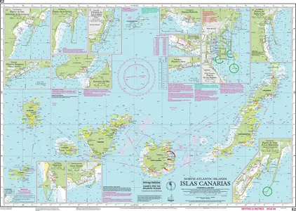
Nautical Chart E2 Islas Canarias
Price DKK 260.49
Out of stock
Shell Channel Pilot
DKK 429.61
Book
E-Book
Select variant
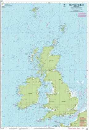
Nautical Chart C80 British Isles
Price DKK 314.86
Out of stock
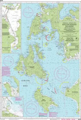
Nautical Chart G12 South Ionian Islands
Price DKK 260.49
Out of stock
Nautical Chart C48 A Coruña to Porto
Price DKK 260.49
Out of stock
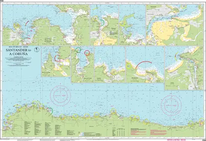
Nautical Chart C43 Santander to A Coruna
Price DKK 260.49
Out of stock
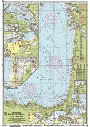
Nautical Chart C42 La Rochelle to Santander
Price DKK 260.49
Out of stock
Nautical Chart C38 Anse de Bénodet to Presqu île de Quiberon
Price DKK 260.49
Out of stock
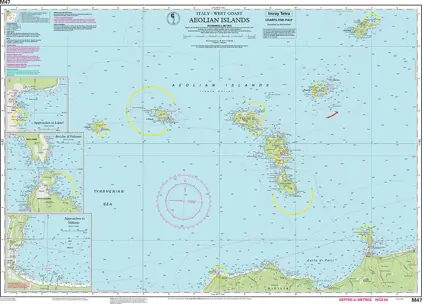
Nautical Chart M47 Aeolian Islands
Price DKK 260.49
Out of stock
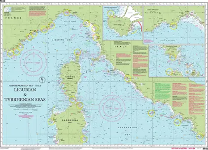
Nautical Chart M40 Ligurian and Tyrrhenian Seas
Price DKK 260.49
Out of stock
Previous
1
2
3
4
...
10
Next
View on map
Close
Close